1504 Grant Rd Lansdale, PA 19446
Estimated Value: $298,000 - $352,000
3
Beds
3
Baths
1,490
Sq Ft
$219/Sq Ft
Est. Value
About This Home
This home is located at 1504 Grant Rd, Lansdale, PA 19446 and is currently estimated at $326,327, approximately $219 per square foot. 1504 Grant Rd is a home located in Montgomery County with nearby schools including Worcester Elementary School, Skyview Upper Elementary School, and Arcola Intermediate School.
Ownership History
Date
Name
Owned For
Owner Type
Purchase Details
Closed on
Apr 17, 2009
Sold by
Brooks Colette and Brooks Colette M
Bought by
Richardson Ronald
Current Estimated Value
Home Financials for this Owner
Home Financials are based on the most recent Mortgage that was taken out on this home.
Original Mortgage
$112,500
Outstanding Balance
$70,697
Interest Rate
4.83%
Estimated Equity
$255,630
Purchase Details
Closed on
Jan 5, 2007
Sold by
Sides Alicia M
Bought by
Brooks Collette M
Home Financials for this Owner
Home Financials are based on the most recent Mortgage that was taken out on this home.
Original Mortgage
$155,000
Interest Rate
6.14%
Purchase Details
Closed on
Sep 29, 1999
Sold by
Kizer Claire G
Bought by
Sides Alicia M
Create a Home Valuation Report for This Property
The Home Valuation Report is an in-depth analysis detailing your home's value as well as a comparison with similar homes in the area
Home Values in the Area
Average Home Value in this Area
Purchase History
| Date | Buyer | Sale Price | Title Company |
|---|---|---|---|
| Richardson Ronald | $150,000 | None Available | |
| Brooks Collette M | $163,000 | None Available | |
| Sides Alicia M | $92,900 | -- |
Source: Public Records
Mortgage History
| Date | Status | Borrower | Loan Amount |
|---|---|---|---|
| Open | Richardson Ronald | $112,500 | |
| Previous Owner | Brooks Collette M | $155,000 |
Source: Public Records
Tax History Compared to Growth
Tax History
| Year | Tax Paid | Tax Assessment Tax Assessment Total Assessment is a certain percentage of the fair market value that is determined by local assessors to be the total taxable value of land and additions on the property. | Land | Improvement |
|---|---|---|---|---|
| 2025 | $3,178 | $83,900 | $15,840 | $68,060 |
| 2024 | $3,178 | $83,900 | $15,840 | $68,060 |
| 2023 | $3,048 | $83,900 | $15,840 | $68,060 |
| 2022 | $2,989 | $83,900 | $15,840 | $68,060 |
| 2021 | $2,930 | $83,900 | $15,840 | $68,060 |
| 2020 | $2,876 | $83,900 | $15,840 | $68,060 |
| 2019 | $6,788 | $83,900 | $15,840 | $68,060 |
| 2018 | $327 | $83,900 | $15,840 | $68,060 |
| 2017 | $2,738 | $83,900 | $15,840 | $68,060 |
| 2016 | $2,705 | $83,900 | $15,840 | $68,060 |
| 2015 | $2,609 | $83,900 | $15,840 | $68,060 |
| 2014 | $2,609 | $83,900 | $15,840 | $68,060 |
Source: Public Records
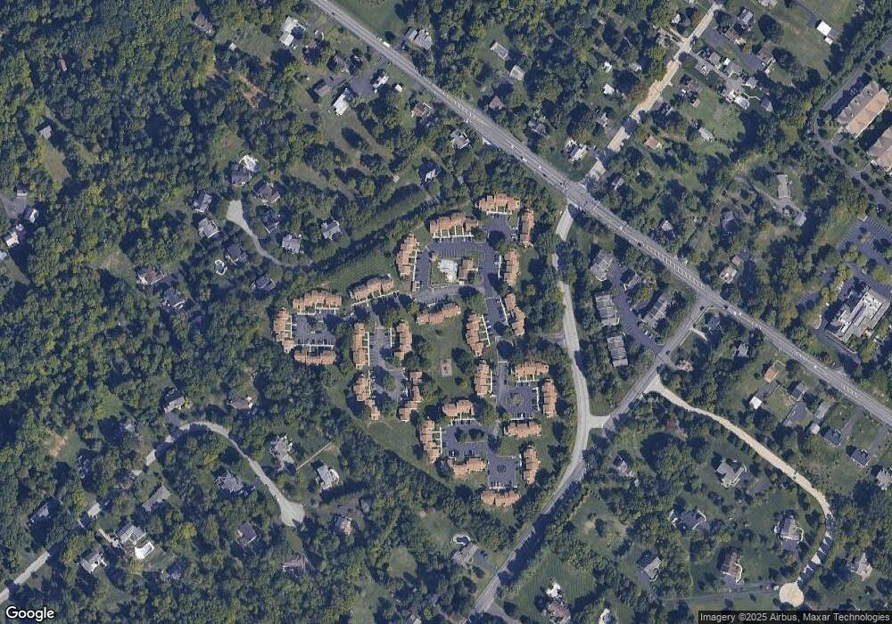
Map
Nearby Homes