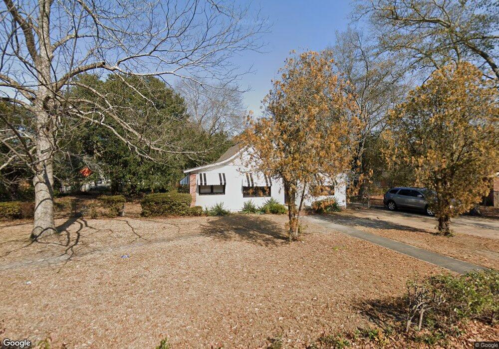
1504 Prescott Rd Columbia, SC 29203
Greenview NeighborhoodEstimated Value: $109,000 - $152,000
3
Beds
1
Bath
1,382
Sq Ft
$97/Sq Ft
Est. Value
About This Home
This home is located at 1504 Prescott Rd, Columbia, SC 29203 and is currently estimated at $134,446, approximately $97 per square foot. 1504 Prescott Rd is a home located in Richland County with nearby schools including Burton Pack Elementary School, W.G. Sanders Middle School, and W.J. Keenan High School.
Ownership History
Date
Name
Owned For
Owner Type
Purchase Details
Closed on
Jan 19, 2006
Sold by
Yarrll Ervin
Bought by
Yarrell Linda Ann
Current Estimated Value
Home Financials for this Owner
Home Financials are based on the most recent Mortgage that was taken out on this home.
Original Mortgage
$60,000
Outstanding Balance
$33,605
Interest Rate
6.21%
Mortgage Type
Fannie Mae Freddie Mac
Estimated Equity
$100,841
Purchase Details
Closed on
Nov 2, 2005
Sold by
Taylor Carrie L and Taylor Carrie Lou
Bought by
Yarrell Ervin
Create a Home Valuation Report for This Property
The Home Valuation Report is an in-depth analysis detailing your home's value as well as a comparison with similar homes in the area
Home Values in the Area
Average Home Value in this Area
Purchase History
| Date | Buyer | Sale Price | Title Company |
|---|---|---|---|
| Yarrell Linda Ann | $75,000 | None Available | |
| Yarrell Ervin | $36,500 | -- |
Source: Public Records
Mortgage History
| Date | Status | Borrower | Loan Amount |
|---|---|---|---|
| Open | Yarrell Linda Ann | $60,000 |
Source: Public Records
Tax History Compared to Growth
Tax History
| Year | Tax Paid | Tax Assessment Tax Assessment Total Assessment is a certain percentage of the fair market value that is determined by local assessors to be the total taxable value of land and additions on the property. | Land | Improvement |
|---|---|---|---|---|
| 2024 | $1,597 | $57,100 | $0 | $0 |
| 2023 | $1,565 | $1,984 | $0 | $0 |
| 2022 | $1,436 | $49,600 | $9,800 | $39,800 |
| 2021 | $1,448 | $2,980 | $0 | $0 |
| 2020 | $1,469 | $2,980 | $0 | $0 |
| 2019 | $1,473 | $2,980 | $0 | $0 |
| 2018 | $1,495 | $2,990 | $0 | $0 |
| 2017 | $1,454 | $2,990 | $0 | $0 |
| 2016 | $1,414 | $2,990 | $0 | $0 |
| 2015 | $1,405 | $2,990 | $0 | $0 |
| 2014 | $1,393 | $49,900 | $0 | $0 |
| 2013 | -- | $2,990 | $0 | $0 |
Source: Public Records
Map
Nearby Homes
- 1729 Cody St
- 5748 Farrow Rd
- 1109 Fiske St
- 1707 Dairy St
- 5619 Middleton Ct
- 1026 Oakland Ave
- 5527 Holmes Ave
- 5509 N Main St
- 5749 Weston Ave
- 0 Weston Ave
- 5901 Barksdale Dr
- 3910 Highland Park Dr
- 4017 Highland Park Dr
- 0 Oscar St
- 710 Mason Rd
- 5411 Cabot Ave
- 5318 N Main St
- 2025 Cushman Dr
- 4100 Highland Park Dr
- 4000 Maurice St
- E/S Koon Rd
- 0 Koon Rd
- 1520 Prescott Rd
- 1406 Carousel Cir
- 1410 Carousel Cir
- 5816 Koon Rd
- 1503 Prescott Rd
- 1414 Carousel Cir
- 1425 Prescott Rd
- 1419 Prescott Rd
- 1420 Carousel Cir
- 5765 Koon Rd
- 1416 Prescott Rd
- 1405 Carousel Cir
- 1600 Prescott Rd
- 1413 Prescott Rd
- 1409 Carousel Cir
- 1500 Carousel Cir
- 5812 Mackay St
- 1413 Carousel Cir