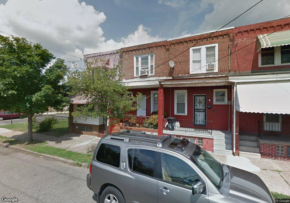
1504 S 9th St Camden, NJ 08104
Liberty Park NeighborhoodEstimated Value: $65,000 - $130,000
--
Bed
--
Bath
1,050
Sq Ft
$90/Sq Ft
Est. Value
About This Home
This home is located at 1504 S 9th St, Camden, NJ 08104 and is currently estimated at $94,042, approximately $89 per square foot. 1504 S 9th St is a home located in Camden County with nearby schools including Camden High School and Freedom Prep Charter School.
Ownership History
Date
Name
Owned For
Owner Type
Purchase Details
Closed on
Sep 4, 2021
Sold by
Cook Frank
Bought by
1504 S 9Th Llc
Current Estimated Value
Purchase Details
Closed on
Oct 14, 2005
Sold by
Alaska Seaboard Partners Lp
Bought by
Cook Frank
Home Financials for this Owner
Home Financials are based on the most recent Mortgage that was taken out on this home.
Original Mortgage
$41,400
Interest Rate
6.14%
Purchase Details
Closed on
May 7, 1999
Sold by
Costa Theodore M
Bought by
Mansfield Anthony and Bullard Patricia
Home Financials for this Owner
Home Financials are based on the most recent Mortgage that was taken out on this home.
Original Mortgage
$28,800
Interest Rate
7.53%
Create a Home Valuation Report for This Property
The Home Valuation Report is an in-depth analysis detailing your home's value as well as a comparison with similar homes in the area
Home Values in the Area
Average Home Value in this Area
Purchase History
| Date | Buyer | Sale Price | Title Company |
|---|---|---|---|
| 1504 S 9Th Llc | $40,000 | Fidelity National Ttl Ins Co | |
| Cook Frank | $46,000 | -- | |
| Mansfield Anthony | $34,050 | -- |
Source: Public Records
Mortgage History
| Date | Status | Borrower | Loan Amount |
|---|---|---|---|
| Previous Owner | Cook Frank | $41,400 | |
| Previous Owner | Mansfield Anthony | $28,800 |
Source: Public Records
Tax History Compared to Growth
Tax History
| Year | Tax Paid | Tax Assessment Tax Assessment Total Assessment is a certain percentage of the fair market value that is determined by local assessors to be the total taxable value of land and additions on the property. | Land | Improvement |
|---|---|---|---|---|
| 2025 | $1,222 | $34,500 | $5,100 | $29,400 |
| 2024 | $1,182 | $34,500 | $5,100 | $29,400 |
| 2023 | $1,182 | $34,500 | $5,100 | $29,400 |
| 2022 | $1,160 | $34,500 | $5,100 | $29,400 |
| 2021 | $1,155 | $34,500 | $5,100 | $29,400 |
| 2020 | $1,097 | $34,500 | $5,100 | $29,400 |
| 2019 | $1,051 | $34,500 | $5,100 | $29,400 |
| 2018 | $1,045 | $34,500 | $5,100 | $29,400 |
| 2017 | $1,019 | $34,500 | $5,100 | $29,400 |
| 2016 | $987 | $34,500 | $5,100 | $29,400 |
| 2015 | $950 | $34,500 | $5,100 | $29,400 |
| 2014 | $927 | $34,500 | $5,100 | $29,400 |
Source: Public Records
Map
Nearby Homes
- 1522 S 10th St
- 1549 S 8th St
- 940 Morton St
- 936 Mechanic St
- 1097 Morton St
- 1150 Mechanic St
- 2033 -2043 S 10th St
- 1165 Lansdowne Ave
- 1165 Morton St
- 1167 Lansdowne Ave
- 1574 Mount Ephraim Ave
- 1168 Everett St
- 1169 Lansdowne Ave
- 1165 Chase St
- 1140 Kaighn Ave
- 1183 Chase St
- 1321 S 6th St
- 1575 Louis St
- 764 Mount Vernon St
- 1216 Morton St