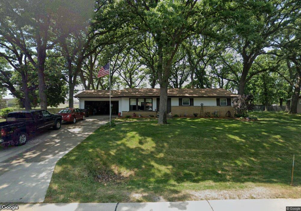
1504 Shumann Dr Union Grove, WI 53182
Estimated Value: $313,000 - $349,000
3
Beds
2
Baths
1,276
Sq Ft
$258/Sq Ft
Est. Value
About This Home
This home is located at 1504 Shumann Dr, Union Grove, WI 53182 and is currently estimated at $329,364, approximately $258 per square foot. 1504 Shumann Dr is a home located in Racine County with nearby schools including Union Grove Elementary School, Union Grove High School, and Union Grove Christian School.
Ownership History
Date
Name
Owned For
Owner Type
Purchase Details
Closed on
Nov 5, 2021
Sold by
Taylor Michael Patrick and Taylor Cynthia Renee
Bought by
Taylor Michael Patrick and Taylor Cynthia Renee
Current Estimated Value
Purchase Details
Closed on
Feb 28, 2018
Sold by
France Terry L and France Jennifer T
Bought by
Taylor Michael Patrick and Taylor Cynthia Renee
Home Financials for this Owner
Home Financials are based on the most recent Mortgage that was taken out on this home.
Original Mortgage
$155,150
Interest Rate
4.04%
Mortgage Type
New Conventional
Create a Home Valuation Report for This Property
The Home Valuation Report is an in-depth analysis detailing your home's value as well as a comparison with similar homes in the area
Home Values in the Area
Average Home Value in this Area
Purchase History
| Date | Buyer | Sale Price | Title Company |
|---|---|---|---|
| Taylor Michael Patrick | -- | None Listed On Document | |
| Taylor Michael Patrick | $173,000 | Landmark Title Of Racine Inc |
Source: Public Records
Mortgage History
| Date | Status | Borrower | Loan Amount |
|---|---|---|---|
| Previous Owner | Taylor Michael Patrick | $155,150 |
Source: Public Records
Tax History Compared to Growth
Tax History
| Year | Tax Paid | Tax Assessment Tax Assessment Total Assessment is a certain percentage of the fair market value that is determined by local assessors to be the total taxable value of land and additions on the property. | Land | Improvement |
|---|---|---|---|---|
| 2024 | $3,282 | $208,800 | $48,500 | $160,300 |
| 2023 | $3,250 | $208,800 | $48,500 | $160,300 |
| 2022 | $3,420 | $208,800 | $48,500 | $160,300 |
| 2021 | $3,200 | $208,800 | $48,500 | $160,300 |
| 2020 | $3,839 | $196,000 | $36,400 | $159,600 |
| 2019 | $3,927 | $196,000 | $36,400 | $159,600 |
| 2018 | $3,332 | $174,900 | $36,400 | $138,500 |
| 2017 | $3,172 | $156,400 | $37,700 | $118,700 |
| 2016 | $3,169 | $156,400 | $37,700 | $118,700 |
| 2015 | $3,381 | $156,400 | $37,700 | $118,700 |
| 2014 | $3,324 | $156,400 | $37,700 | $118,700 |
| 2013 | $3,470 | $156,400 | $37,700 | $118,700 |
Source: Public Records
Map
Nearby Homes
- 406 Oakhurst Ave
- 1311 Highview Ave
- 163 11th Ave
- Lt0 Durand Ave
- 1041 Bluebird Ln
- 290 Pheasant Run
- 1362 Vine St
- 1344 Vine St
- 1027 Main St
- 1030 Main St
- 1020 Main St
- 102 Walnut Ridge Dr Unit 20
- 927 State St
- 1221 W Kiddle Ln
- 91 York St
- 85 York St
- 1072 5th Ave
- 305 York St
- 319 York St Unit Lt64
- 145 Victoria Cir
- 1502 Shumann Dr
- 1506 Shumann Dr
- 1505 Shumann Dr
- 1503 Shumann Dr
- 1507 Shumann Dr
- 1610 Shumann Dr
- 1500 Shumann Dr
- 1611 Shumann Dr
- 1501 Shumann Dr
- 1632 Shumann Dr
- 436 High Groves Ct
- 18617 Durand Ave
- 1654 Shumann Dr
- 501 14th Ave
- 434 High Groves Ct
- 18609 Durand Ave
- 439 High Groves Ct
- 420 14th Ave
- 1676 Shumann Dr
- 507 14th Ave