1504 Westwood Dr Sidney, OH 45365
Estimated Value: $300,372 - $393,000
4
Beds
3
Baths
2,232
Sq Ft
$160/Sq Ft
Est. Value
About This Home
This home is located at 1504 Westwood Dr, Sidney, OH 45365 and is currently estimated at $356,843, approximately $159 per square foot. 1504 Westwood Dr is a home located in Shelby County with nearby schools including Sidney High School, Holy Angels Catholic School, and Lehman Catholic High School.
Ownership History
Date
Name
Owned For
Owner Type
Purchase Details
Closed on
Aug 13, 2012
Sold by
Stilwell Steven B and Stilwell Sally S
Bought by
Nielson Eric and Nielson Rebecca L
Current Estimated Value
Home Financials for this Owner
Home Financials are based on the most recent Mortgage that was taken out on this home.
Original Mortgage
$161,500
Outstanding Balance
$111,088
Interest Rate
3.52%
Mortgage Type
New Conventional
Estimated Equity
$245,755
Purchase Details
Closed on
Jul 20, 1999
Sold by
Moore Aunalee
Bought by
Chilcote Philip K
Home Financials for this Owner
Home Financials are based on the most recent Mortgage that was taken out on this home.
Original Mortgage
$127,900
Interest Rate
5.99%
Mortgage Type
New Conventional
Purchase Details
Closed on
Nov 8, 1993
Bought by
Moore Aunalee
Create a Home Valuation Report for This Property
The Home Valuation Report is an in-depth analysis detailing your home's value as well as a comparison with similar homes in the area
Home Values in the Area
Average Home Value in this Area
Purchase History
| Date | Buyer | Sale Price | Title Company |
|---|---|---|---|
| Nielson Eric | $170,000 | Stewart Title Agency | |
| Chilcote Philip K | $159,900 | -- | |
| Moore Aunalee | -- | -- |
Source: Public Records
Mortgage History
| Date | Status | Borrower | Loan Amount |
|---|---|---|---|
| Open | Nielson Eric | $161,500 | |
| Previous Owner | Chilcote Philip K | $127,900 |
Source: Public Records
Tax History Compared to Growth
Tax History
| Year | Tax Paid | Tax Assessment Tax Assessment Total Assessment is a certain percentage of the fair market value that is determined by local assessors to be the total taxable value of land and additions on the property. | Land | Improvement |
|---|---|---|---|---|
| 2024 | $2,627 | $75,060 | $17,490 | $57,570 |
| 2023 | $2,627 | $75,060 | $17,490 | $57,570 |
| 2022 | $2,680 | $67,270 | $14,990 | $52,280 |
| 2021 | $2,861 | $67,270 | $14,990 | $52,280 |
| 2020 | $2,861 | $67,270 | $14,990 | $52,280 |
| 2019 | $2,409 | $56,220 | $12,500 | $43,720 |
| 2018 | $2,377 | $56,220 | $12,500 | $43,720 |
| 2017 | $2,390 | $56,220 | $12,500 | $43,720 |
| 2016 | $2,224 | $56,500 | $12,500 | $44,000 |
| 2015 | $2,231 | $56,500 | $12,500 | $44,000 |
| 2014 | $2,231 | $56,500 | $12,500 | $44,000 |
| 2013 | $2,345 | $54,890 | $12,500 | $42,390 |
Source: Public Records
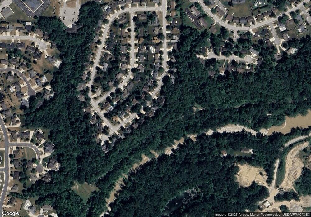
Map
Nearby Homes
- 1680 Wildwood Ct
- 1559 Timberidge Dr
- 1144 Hawthorne Dr
- 1014 Spruce Ave
- 812 Chestnut Ave
- 747 Chestnut Ave
- 649 Fair Rd
- 608 Foraker Ave
- 603 S Highland Ave
- 507 Charles Ave
- 610 Fair Rd
- 2417 Cole Ct
- 2423 Cole Ct
- 1786 Creekside Ct
- 1780 Creekside Ct
- 1756 Creekside Ct
- 1768 Creekside Ct
- 1774 Creekside Ct
- 1762 Creekside Ct
- 0 Sharp Unit 1033548
- 1452 Westwood Dr
- 1514 Westwood Dr
- 1505 Westwood Dr
- 1517 Westwood Dr
- 1526 Westwood Dr
- 1455 Westwood Dr
- 1529 Westwood Dr
- 0 Huron Ct Unit 6115 331268
- 0 Huron Ct
- 1538 Westwood Dr
- 1441 Westwood Dr
- 1541 Westwood Dr
- 1670 Wildwood Ct
- 1434 Westwood Dr
- 1429 Westwood Dr
- 1550 Westwood Dr
- 1660 Wildwood Ct
- 1690 Wildwood Ct
- 1417 Westwood Dr
- 1562 Westwood Dr