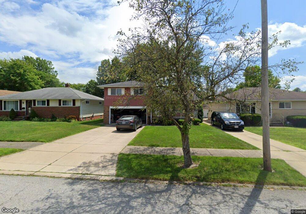
15042 Lisa Dr Maple Heights, OH 44137
Estimated Value: $182,000 - $208,000
3
Beds
2
Baths
1,572
Sq Ft
$123/Sq Ft
Est. Value
About This Home
This home is located at 15042 Lisa Dr, Maple Heights, OH 44137 and is currently estimated at $193,371, approximately $123 per square foot. 15042 Lisa Dr is a home located in Cuyahoga County with nearby schools including Abraham Lincoln Elementary School, Rockside/ J.F. Kennedy School, and Barack Obama School.
Ownership History
Date
Name
Owned For
Owner Type
Purchase Details
Closed on
Aug 1, 1989
Sold by
Hitch Ronald A
Bought by
Acino Salvatore
Current Estimated Value
Purchase Details
Closed on
Mar 11, 1982
Sold by
Sullivan Carl M
Bought by
Hitch Ronald A
Purchase Details
Closed on
Aug 7, 1978
Sold by
Hornyak Lois
Bought by
Sullivan Carl M
Purchase Details
Closed on
Jan 1, 1975
Bought by
Hornyak Lois
Create a Home Valuation Report for This Property
The Home Valuation Report is an in-depth analysis detailing your home's value as well as a comparison with similar homes in the area
Home Values in the Area
Average Home Value in this Area
Purchase History
| Date | Buyer | Sale Price | Title Company |
|---|---|---|---|
| Acino Salvatore | $81,500 | -- | |
| Hitch Ronald A | $66,000 | -- | |
| Sullivan Carl M | $62,000 | -- | |
| Hornyak Lois | -- | -- |
Source: Public Records
Tax History
| Year | Tax Paid | Tax Assessment Tax Assessment Total Assessment is a certain percentage of the fair market value that is determined by local assessors to be the total taxable value of land and additions on the property. | Land | Improvement |
|---|---|---|---|---|
| 2024 | $3,955 | $55,650 | $8,785 | $46,865 |
| 2023 | $2,666 | $35,460 | $7,490 | $27,970 |
| 2022 | $2,694 | $35,455 | $7,490 | $27,965 |
| 2021 | $2,881 | $35,460 | $7,490 | $27,970 |
| 2020 | $2,448 | $29,050 | $6,130 | $22,930 |
| 2019 | $2,433 | $83,000 | $17,500 | $65,500 |
| 2018 | $2,244 | $29,050 | $6,130 | $22,930 |
| 2017 | $2,215 | $26,710 | $4,340 | $22,370 |
| 2016 | $2,137 | $26,710 | $4,340 | $22,370 |
| 2015 | $2,188 | $26,710 | $4,340 | $22,370 |
| 2014 | $2,188 | $28,710 | $4,660 | $24,050 |
Source: Public Records
Map
Nearby Homes
- 14808 James Ave
- 15305 Steinway Blvd
- 14956 Carol Dr
- 6089 Dunham Rd
- 14320 Janice Dr
- 14357 Turney Rd
- 15405 Turney Rd
- 14012 Wheeler Rd
- SL15 Rocky Top Ct
- 13810 Martin Dr
- 15701 Walvern Blvd
- 16111 #A8 Maple Park Dr
- 15 Rockytop Ct
- 15522 Turney Rd
- 13741 Grove Dr
- 13804 Rockside Rd
- 14214 Tabor Ave
- 14619 Tokay Ave
- 14404 Tokay Ave
- 15712 Mendota Ave
- 15010 Lisa Dr
- 15054 Lisa Dr
- 14962 Lisa Dr
- 15066 Lisa Dr
- 15053 Rochelle Dr
- 15045 Rochelle Dr
- 15067 Rochelle Dr
- 14938 Lisa Dr
- 15009 Rochelle Dr
- 15081 Rochelle Dr
- 15082 Lisa Dr
- 15043 Lisa Dr
- 15011 Lisa Dr
- 15055 Lisa Dr
- 14965 Rochelle Dr
- 14963 Lisa Dr
- 15095 Rochelle Dr
- 15067 Lisa Dr
- 14920 Lisa Dr
- 14939 Lisa Dr
Your Personal Tour Guide
Ask me questions while you tour the home.