Estimated Value: $226,868 - $646,000
Studio
1
Bath
2,744
Sq Ft
$148/Sq Ft
Est. Value
About This Home
This home is located at 15044 Burcham Rd, Logan, OH 43138 and is currently estimated at $405,967, approximately $147 per square foot. 15044 Burcham Rd is a home located in Hocking County with nearby schools including Union Furnace Elementary School, Logan Christian School, and St. John the Evangelist School.
Ownership History
Date
Name
Owned For
Owner Type
Purchase Details
Closed on
Mar 11, 2003
Bought by
Kost Michael L and Rebecca J 15044 B
Current Estimated Value
Create a Home Valuation Report for This Property
The Home Valuation Report is an in-depth analysis detailing your home's value as well as a comparison with similar homes in the area
Home Values in the Area
Average Home Value in this Area
Purchase History
| Date | Buyer | Sale Price | Title Company |
|---|---|---|---|
| Kost Michael L | $125,000 | -- |
Source: Public Records
Tax History
| Year | Tax Paid | Tax Assessment Tax Assessment Total Assessment is a certain percentage of the fair market value that is determined by local assessors to be the total taxable value of land and additions on the property. | Land | Improvement |
|---|---|---|---|---|
| 2024 | $2,033 | $47,170 | $13,810 | $33,360 |
| 2023 | $1,772 | $47,170 | $13,810 | $33,360 |
| 2022 | $1,775 | $47,170 | $13,810 | $33,360 |
| 2021 | $1,844 | $45,990 | $10,050 | $35,940 |
| 2020 | $1,835 | $45,990 | $10,050 | $35,940 |
| 2019 | $1,836 | $45,990 | $10,050 | $35,940 |
| 2018 | $1,736 | $44,470 | $8,530 | $35,940 |
| 2017 | $1,703 | $44,470 | $8,530 | $35,940 |
| 2016 | $1,690 | $44,470 | $8,530 | $35,940 |
| 2015 | $1,726 | $43,650 | $9,050 | $34,600 |
| 2014 | $1,726 | $43,650 | $9,050 | $34,600 |
| 2013 | $1,733 | $43,650 | $9,050 | $34,600 |
Source: Public Records
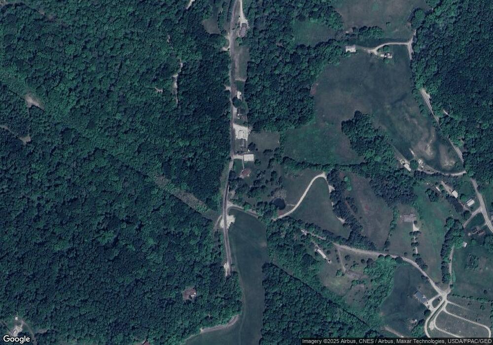
Map
Nearby Homes
- 0 Calico Ridge Rd Unit 226005949
- 15817 Nickel Plate Rd
- 0 Lilac Ln Unit Lot 73
- 32366 Lilac Ln
- 15532 Ohio 93
- 849 Mohican Ave
- 846 Elizabeth Ave
- 743 Summit Dr
- 31440 Deerfield Dr
- 15050 Old McArthur Rd
- 15155 Sauerkraut Rd
- 16740 Skinner Rd
- 226 W Front St
- State Route 328
- 31108 Mays Rd
- 31044 Mays Rd
- 600 E 2nd St
- 235 W Main St
- 1300 Dannie Dr
- 385 W Main St
- 15123 Burcham Rd
- 33041 Oliver Rd
- 33022 Oliver Rd
- 14822 Burcham Rd
- 33194 Oliver Rd
- 14839 Nickel Plate Rd
- 15171 Burcham Rd
- 14801 Burcham Rd
- 14728 Burcham Rd
- 33280 Rodman Rd
- 14823 Nickel Plate Rd
- 14739 Burcham Rd
- 15040 Nickel Plate Rd
- 14763 Nickel Plate Rd
- 15359 Burcham Rd
- 14606 Burcham Rd
- 14735 Nickel Plate Rd
- 14884 Nickel Plate Rd
- 14805 Burcham Rd
- 14729 Nickel Plate Rd
Your Personal Tour Guide
Ask me questions while you tour the home.