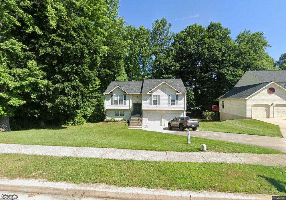
1505 Chapel Rd Havre de Grace, MD 21078
Estimated Value: $311,592 - $354,000
Studio
1
Bath
1,207
Sq Ft
$281/Sq Ft
Est. Value
About This Home
This home is located at 1505 Chapel Rd, Havre de Grace, MD 21078 and is currently estimated at $338,648, approximately $280 per square foot. 1505 Chapel Rd is a home located in Harford County with nearby schools including Meadowvale Elementary School, Havre de Grace Middle School, and Havre de Grace High School.
Ownership History
Date
Name
Owned For
Owner Type
Purchase Details
Closed on
Nov 23, 1992
Sold by
Equity Homes Inc
Bought by
Zellman Michael Lee and Hamilton Beth
Current Estimated Value
Home Financials for this Owner
Home Financials are based on the most recent Mortgage that was taken out on this home.
Original Mortgage
$83,450
Interest Rate
8.32%
Purchase Details
Closed on
Dec 3, 1991
Sold by
Grace Harbour Limited Partnership
Bought by
Equity Homes Inc
Create a Home Valuation Report for This Property
The Home Valuation Report is an in-depth analysis detailing your home's value as well as a comparison with similar homes in the area
Home Values in the Area
Average Home Value in this Area
Purchase History
| Date | Buyer | Sale Price | Title Company |
|---|---|---|---|
| Zellman Michael Lee | $98,500 | -- | |
| Equity Homes Inc | $18,000 | -- |
Source: Public Records
Mortgage History
| Date | Status | Borrower | Loan Amount |
|---|---|---|---|
| Closed | Zellman Michael Lee | $83,450 |
Source: Public Records
Tax History
| Year | Tax Paid | Tax Assessment Tax Assessment Total Assessment is a certain percentage of the fair market value that is determined by local assessors to be the total taxable value of land and additions on the property. | Land | Improvement |
|---|---|---|---|---|
| 2025 | $2,265 | $251,767 | $0 | $0 |
| 2024 | $2,131 | $237,600 | $90,300 | $147,300 |
| 2023 | $2,131 | $230,567 | $0 | $0 |
| 2022 | $2,436 | $223,533 | $0 | $0 |
| 2020 | $244 | $213,333 | $0 | $0 |
| 2019 | $2,114 | $210,167 | $0 | $0 |
| 2018 | $2,063 | $207,000 | $94,000 | $113,000 |
| 2017 | $2,063 | $207,000 | $0 | $0 |
| 2016 | -- | $207,000 | $0 | $0 |
| 2015 | $2,158 | $209,000 | $0 | $0 |
| 2014 | $2,158 | $209,000 | $0 | $0 |
Source: Public Records
Map
Nearby Homes
- 225 Heather Way
- 102 Tidewater Dr
- 1805 Rankokus Dr
- 513 Lighthouse Ct
- 538 Whimsical Dr Unit 2416
- 539 Whimsical Dr
- 321 Friar Rock Cir
- 302 Friar Rock Cir
- 300 Friar Rock Cir
- 110 Joehill Dr
- 221 War Admiral Way
- 202 Man o War Place
- TBB-AUGUSTA Whimsical Dr
- TBB-TOLCHESTER II Whimsical Dr
- TBB-PATTON Whimsical Dr
- 500 Halma Ct
- TBB-SOMERSET II Whimsical Dr
- 1302 Ontario St
- 2030 Lori Ln
- 311 Sunrise Ct
Your Personal Tour Guide
Ask me questions while you tour the home.