1505 Coronet Dr Dalton, GA 30720
Estimated Value: $19,199,248
--
Bed
--
Bath
219,744
Sq Ft
$87/Sq Ft
Est. Value
About This Home
This home is located at 1505 Coronet Dr, Dalton, GA 30720 and is currently estimated at $19,199,248, approximately $87 per square foot. 1505 Coronet Dr is a home located in Whitfield County with nearby schools including City Park Elementary School, Dalton Middle School, and Dalton High School.
Ownership History
Date
Name
Owned For
Owner Type
Purchase Details
Closed on
May 12, 2022
Sold by
Coronet 1505 Llc
Bought by
Olp Dalton Ga Llc
Current Estimated Value
Purchase Details
Closed on
Sep 1, 1995
Bought by
Victor Carpet Mills Inc
Create a Home Valuation Report for This Property
The Home Valuation Report is an in-depth analysis detailing your home's value as well as a comparison with similar homes in the area
Home Values in the Area
Average Home Value in this Area
Purchase History
| Date | Buyer | Sale Price | Title Company |
|---|---|---|---|
| Olp Dalton Ga Llc | $17,000,000 | None Listed On Document | |
| Victor Carpet Mills Inc | $310,000 | -- |
Source: Public Records
Tax History Compared to Growth
Tax History
| Year | Tax Paid | Tax Assessment Tax Assessment Total Assessment is a certain percentage of the fair market value that is determined by local assessors to be the total taxable value of land and additions on the property. | Land | Improvement |
|---|---|---|---|---|
| 2024 | $172,547 | $5,393,769 | $213,700 | $5,180,069 |
| 2023 | $129,814 | $3,769,019 | $127,400 | $3,641,619 |
| 2022 | $55,950 | $1,624,458 | $127,400 | $1,497,058 |
| 2021 | $56,035 | $1,624,458 | $127,400 | $1,497,058 |
| 2020 | $58,204 | $1,624,458 | $127,400 | $1,497,058 |
| 2019 | $60,011 | $1,624,458 | $127,400 | $1,497,058 |
| 2018 | $60,916 | $1,624,458 | $127,400 | $1,497,058 |
| 2017 | $61,625 | $1,707,358 | $115,570 | $1,591,788 |
| 2016 | $62,021 | $1,707,358 | $115,570 | $1,591,788 |
| 2014 | $56,349 | $1,707,358 | $115,570 | $1,591,788 |
| 2013 | -- | $1,707,357 | $115,570 | $1,591,787 |
Source: Public Records
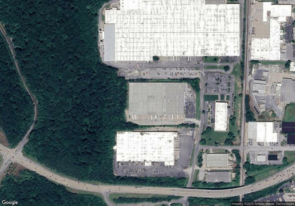
Map
Nearby Homes
- 1600 Puryear Dr NW
- 1614 Waring Rd NW
- 1695 N Summit Dr
- 0 N Park Dr
- 0 Smith Industrial Blvd
- 1699 Pin Oak Dr Unit 133
- 1699 Burnt Oak Dr
- 1699 Burnt Oak Dr Unit 195
- 1696 Red Oak Dr Unit 184
- 1696 Red Oak Dr
- 1696 Red Oak Dr Unit 181
- 413 Gillum Dr
- 1702 Chestnut Oak Dr
- 1702 Chestnut Oak Dr Unit 83
- 1706 Chestnut Oak Dr Unit 90
- 1709 Willow Oak Ln Unit 53
- 1713 Brighton Way
- 1730 Brighton Way
- 1899 Middle Summit Dr Unit 98
- 1899 N Summit Dr Unit 66
- 1409 Coronet Dr
- 1408 Coronet Dr
- 0 Rosen Dr
- 0 North Bypass
- 212 Rosen Dr
- 216 Rosen Dr
- 1415 Cleveland Hwy
- 1525 Waring Rd NW
- 230 Rosen Dr
- 1407 Cleveland Hwy
- 1403 Cleveland Hwy
- 00 Freeport Rd NW
- 1401 Cleveland Hwy
- 1401 Cleveland Hwy
- 1315 Cleveland Hwy
- 1315 Cleveland Hwy
- 1582 Waring Rd NW
- 1529 Waring Rd NW
- TRACT 1 Cleveland Hwy
- 1414 Cleveland Hwy