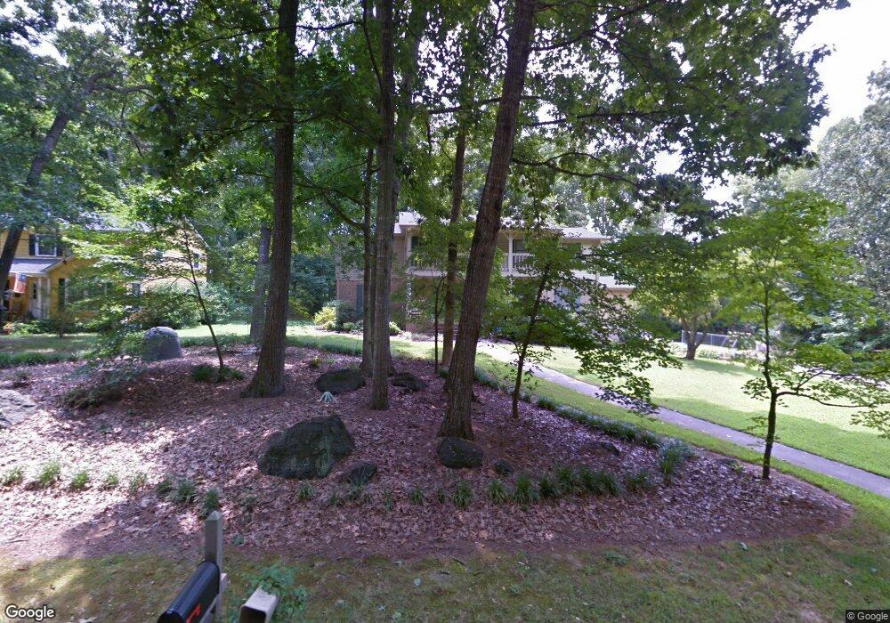
1505 Derbyshire Rd Kannapolis, NC 28081
Estimated Value: $490,000 - $546,000
4
Beds
3
Baths
3,363
Sq Ft
$154/Sq Ft
Est. Value
About This Home
This home is located at 1505 Derbyshire Rd, Kannapolis, NC 28081 and is currently estimated at $517,478, approximately $153 per square foot. 1505 Derbyshire Rd is a home located in Cabarrus County with nearby schools including Shady Brook Elementary School, Kannapolis Middle, and A.L. Brown High School.
Ownership History
Date
Name
Owned For
Owner Type
Purchase Details
Closed on
Jan 17, 2001
Sold by
Bluto Rentals Llc
Bought by
Barrier Frank B and Barrier Jaymie S
Current Estimated Value
Purchase Details
Closed on
May 12, 1999
Sold by
Moss Nannette B
Bought by
Barrier Frank Brandon and Barrier Jaymie Shue
Home Financials for this Owner
Home Financials are based on the most recent Mortgage that was taken out on this home.
Original Mortgage
$160,000
Interest Rate
6.98%
Create a Home Valuation Report for This Property
The Home Valuation Report is an in-depth analysis detailing your home's value as well as a comparison with similar homes in the area
Home Values in the Area
Average Home Value in this Area
Purchase History
| Date | Buyer | Sale Price | Title Company |
|---|---|---|---|
| Barrier Frank B | -- | -- | |
| Barrier Frank Brandon | $200,500 | -- |
Source: Public Records
Mortgage History
| Date | Status | Borrower | Loan Amount |
|---|---|---|---|
| Previous Owner | Barrier Frank Brandon | $160,000 |
Source: Public Records
Tax History Compared to Growth
Tax History
| Year | Tax Paid | Tax Assessment Tax Assessment Total Assessment is a certain percentage of the fair market value that is determined by local assessors to be the total taxable value of land and additions on the property. | Land | Improvement |
|---|---|---|---|---|
| 2025 | $5,128 | $451,590 | $81,900 | $369,690 |
| 2024 | $5,128 | $451,590 | $81,900 | $369,690 |
| 2023 | $3,793 | $276,870 | $44,200 | $232,670 |
| 2022 | $3,793 | $276,870 | $44,200 | $232,670 |
| 2021 | $3,793 | $276,870 | $44,200 | $232,670 |
| 2020 | $3,793 | $276,870 | $44,200 | $232,670 |
| 2019 | $3,371 | $246,030 | $32,500 | $213,530 |
| 2018 | $3,321 | $246,030 | $32,500 | $213,530 |
| 2017 | $3,272 | $246,030 | $32,500 | $213,530 |
| 2016 | $3,272 | $244,040 | $41,600 | $202,440 |
| 2015 | $3,075 | $244,040 | $41,600 | $202,440 |
| 2014 | $3,075 | $244,040 | $41,600 | $202,440 |
Source: Public Records
Map
Nearby Homes
- 1208 Berkshire Dr
- 1200 Berkshire Dr
- 1209 Derbyshire Rd
- 1110 Rogers Lake Rd
- 1620 Longbow Dr
- 1408 Nottingham Rd
- 915 Sprucewood St
- 1010 Sprucewood St
- 3833 Crossbane St
- 1003 Robinhood Ln
- 1441 Sherwood Dr
- 4150 Longmore Ln
- 00 Sapp Rd
- 1828 Independence Square
- 1229 Brecken Ct
- 1418 Oakwood Ave
- 804 Evergreen Ave
- 1410 Oakwood Ave
- 4812 Laymore Ln
- 809 Walker St
- 1503 Derbyshire Rd
- 1229 Moss Acres Ct
- 1229 Moss Acres Ct
- 1229 Moss Acres Ct Unit 5
- 1228 Moss Acres Ct
- 1225 Moss Acres Ct
- 1504 Derbyshire Rd
- 1411 Derbyshire Rd
- 1221 Moss Acres Ct
- 1217 Moss Acres Ct
- 1220 Moss Acres Ct
- 1211 Wiltshire Dr
- 1409 Derbyshire Rd
- 1218 Wiltshire Dr
- 1217 Wiltshire Dr
- 1213 Moss Acres Ct
- 1316 Rogers Lake Rd
- 1215 Wiltshire Dr
- 1209 Moss Acres Ct
- 1312 Rogers Lake Rd