1505 Double Bridges Rd Elberton, GA 30635
Estimated Value: $241,000 - $350,053
--
Bed
1
Bath
1,472
Sq Ft
$202/Sq Ft
Est. Value
About This Home
This home is located at 1505 Double Bridges Rd, Elberton, GA 30635 and is currently estimated at $297,763, approximately $202 per square foot. 1505 Double Bridges Rd is a home located in Elbert County with nearby schools including Elbert County Primary School, Elbert County Elementary School, and Elbert County Middle School.
Ownership History
Date
Name
Owned For
Owner Type
Purchase Details
Closed on
Feb 6, 2015
Sold by
Eavenson Horace L
Bought by
Mercer John M
Current Estimated Value
Home Financials for this Owner
Home Financials are based on the most recent Mortgage that was taken out on this home.
Original Mortgage
$60,000
Interest Rate
3.81%
Purchase Details
Closed on
Jan 1, 1955
Create a Home Valuation Report for This Property
The Home Valuation Report is an in-depth analysis detailing your home's value as well as a comparison with similar homes in the area
Home Values in the Area
Average Home Value in this Area
Purchase History
| Date | Buyer | Sale Price | Title Company |
|---|---|---|---|
| Mercer John M | -- | -- | |
| Mercer John M | $106,000 | -- | |
| -- | $3,300 | -- |
Source: Public Records
Mortgage History
| Date | Status | Borrower | Loan Amount |
|---|---|---|---|
| Closed | Mercer John M | $60,000 |
Source: Public Records
Tax History Compared to Growth
Tax History
| Year | Tax Paid | Tax Assessment Tax Assessment Total Assessment is a certain percentage of the fair market value that is determined by local assessors to be the total taxable value of land and additions on the property. | Land | Improvement |
|---|---|---|---|---|
| 2024 | $2,829 | $117,982 | $60,030 | $57,952 |
| 2023 | $1,743 | $117,982 | $60,030 | $57,952 |
| 2022 | $1,246 | $74,931 | $36,134 | $38,797 |
| 2021 | $1,241 | $74,931 | $36,134 | $38,797 |
| 2020 | $1,072 | $63,028 | $36,134 | $26,894 |
| 2019 | $1,105 | $63,028 | $36,134 | $26,894 |
| 2018 | $1,130 | $63,028 | $36,134 | $26,894 |
| 2017 | $1,130 | $54,711 | $30,082 | $24,629 |
| 2016 | $875 | $54,711 | $30,082 | $24,629 |
| 2015 | -- | $54,710 | $30,082 | $24,629 |
| 2014 | -- | $54,710 | $30,082 | $24,629 |
| 2013 | -- | $54,254 | $29,625 | $24,629 |
Source: Public Records
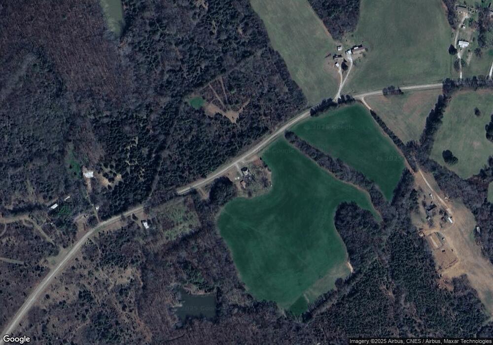
Map
Nearby Homes
- 0 Paul Motes Rd Unit 10631596
- 1160 Plantation Rd
- 2154 Far-A-way Rd
- 0 Far-A-way Rd
- 0 Far-A-way Rd Unit 1026251
- 1136 Flagstone Rd
- 2023 Stephens Rd
- 2109 Brewers Mill Rd
- 3113 Press Mann Rd
- 0 Anderson Hwy Unit 24629664
- 0 Anderson Hwy Unit 10536298
- 0 Harmony Rd Unit 18771344
- 0 Allen Logan Rd Unit 22671131
- 2946 Rock Branch Rd
- 2126 Amberly Rd
- 1859 William Smith Rd
- 0 Henry Moon Dr Unit 10452056
- 1 Powerhouse Dr
- 1912 Ruckersville
- 6523 Elberton Hwy
- 1536 Double Bridges Rd
- 1462 Double Bridges Rd
- 1541 Double Bridges Rd
- 1594 Double Bridges Rd
- 00000 Double Bridges Rd
- 1588 Double Bridges Rd
- 1576 Double Bridges Rd
- 1596 Double Bridges Rd
- 1391 Double Bridges Rd
- 2374 Raymond Anderson Rd
- 1366 Double Bridges Rd
- 1568 Double Bridges Rd
- 1333 Plantation Rd
- 1309 Plantation Rd
- 1384 Plantation Rd
- 1405 Plantation Rd
- 0 Country Lane Dr Unit 7206357
- 0 Country Lane Dr Unit 8810087
- 2507 Country Lane Dr
- 1288 Plantation Rd