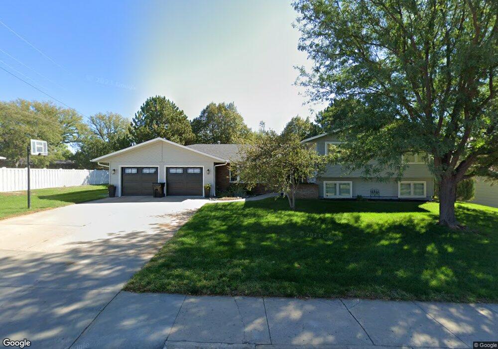
1505 E 5th St Mc Cook, NE 69001
Estimated Value: $368,000 - $457,000
5
Beds
4
Baths
2,228
Sq Ft
$184/Sq Ft
Est. Value
About This Home
This home is located at 1505 E 5th St, Mc Cook, NE 69001 and is currently estimated at $411,061, approximately $184 per square foot. 1505 E 5th St is a home located in Red Willow County with nearby schools including McCook Elementary School, Central Elementary School, and McCook Junior High School.
Ownership History
Date
Name
Owned For
Owner Type
Purchase Details
Closed on
Dec 20, 2023
Sold by
Paulsen Inc
Bought by
Siegfried Adam T and Siegfried Lindsey K
Current Estimated Value
Purchase Details
Closed on
Oct 8, 2019
Sold by
Graff P Mark and Graff Linda L
Bought by
Siegfried Adam T and Siegfried Lindsey K
Home Financials for this Owner
Home Financials are based on the most recent Mortgage that was taken out on this home.
Original Mortgage
$332,231
Interest Rate
3.4%
Mortgage Type
New Conventional
Purchase Details
Closed on
Jul 17, 2008
Sold by
Farrell Daniel C and Farrell Kathleen V
Bought by
Graff P Mark and Graff Linda L
Home Financials for this Owner
Home Financials are based on the most recent Mortgage that was taken out on this home.
Original Mortgage
$245,000
Interest Rate
6.09%
Mortgage Type
Future Advance Clause Open End Mortgage
Create a Home Valuation Report for This Property
The Home Valuation Report is an in-depth analysis detailing your home's value as well as a comparison with similar homes in the area
Home Values in the Area
Average Home Value in this Area
Purchase History
| Date | Buyer | Sale Price | Title Company |
|---|---|---|---|
| Siegfried Adam T | $336,000 | None Listed On Document | |
| Siegfried Adam T | $365,000 | Mccook Abstract Company | |
| Graff P Mark | $285,000 | -- |
Source: Public Records
Mortgage History
| Date | Status | Borrower | Loan Amount |
|---|---|---|---|
| Previous Owner | Siegfried Adam T | $332,231 | |
| Previous Owner | Graff P Mark | $245,000 |
Source: Public Records
Tax History
| Year | Tax Paid | Tax Assessment Tax Assessment Total Assessment is a certain percentage of the fair market value that is determined by local assessors to be the total taxable value of land and additions on the property. | Land | Improvement |
|---|---|---|---|---|
| 2025 | $5,513 | $425,045 | $24,772 | $400,273 |
| 2024 | $5,513 | $420,271 | $24,772 | $395,499 |
| 2023 | $6,495 | $394,484 | $24,772 | $369,712 |
| 2022 | $6,355 | $363,592 | $21,255 | $342,337 |
| 2021 | $5,976 | $328,006 | $21,255 | $306,751 |
| 2020 | $4,885 | $268,345 | $14,221 | $254,124 |
| 2019 | $4,850 | $268,345 | $14,221 | $254,124 |
| 2018 | $4,787 | $268,345 | $14,221 | $254,124 |
| 2017 | $4,641 | $268,345 | $14,221 | $254,124 |
| 2016 | $4,157 | $241,117 | $14,221 | $226,896 |
| 2015 | $4,047 | $241,117 | $14,221 | $226,896 |
| 2014 | $4,076 | $231,378 | $14,221 | $217,157 |
Source: Public Records
Map
Nearby Homes
- 1503 E 5th St
- 101 Seminole Dr
- 1406 Centennial Dr
- 1408 Centennial Dr
- 1501 E 5th St
- 103 S Cherokee Rd
- 1 Parkview Dr
- 1404 Centennial Dr
- 105 S Cherokee Rd
- 111 Seminole Dr
- 1410 Centennial Dr
- 2 Parkview Dr
- 112 Seminole Dr
- 107 S Cherokee Rd
- 1409 Centennial Dr
- 108 S Cherokee Rd
- 201 Seminole Dr
- 1412 Centennial Dr
- 106 S Cherokee Rd
- 110 S Cherokee Rd
Your Personal Tour Guide
Ask me questions while you tour the home.