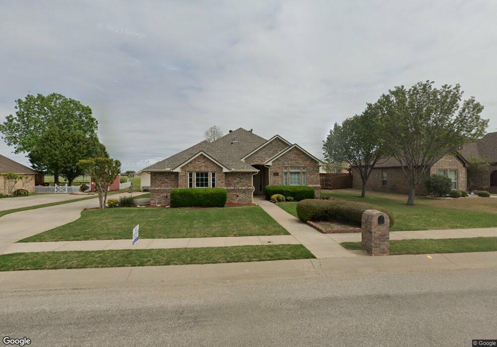
1505 Hickory Dr Pilot Point, TX 76258
Estimated Value: $322,804 - $344,000
3
Beds
2
Baths
1,540
Sq Ft
$217/Sq Ft
Est. Value
About This Home
This home is located at 1505 Hickory Dr, Pilot Point, TX 76258 and is currently estimated at $334,201, approximately $217 per square foot. 1505 Hickory Dr is a home located in Denton County with nearby schools including Pilot Point Early Childhood Center, Pilot Point Elementary School, and Pilot Point Middle School.
Ownership History
Date
Name
Owned For
Owner Type
Purchase Details
Closed on
Aug 4, 2004
Sold by
Palladian Quality Homes Llc
Bought by
Davis Cecil M and Davis Jo E
Current Estimated Value
Home Financials for this Owner
Home Financials are based on the most recent Mortgage that was taken out on this home.
Original Mortgage
$60,000
Outstanding Balance
$30,265
Interest Rate
6.26%
Mortgage Type
Purchase Money Mortgage
Estimated Equity
$303,936
Create a Home Valuation Report for This Property
The Home Valuation Report is an in-depth analysis detailing your home's value as well as a comparison with similar homes in the area
Home Values in the Area
Average Home Value in this Area
Purchase History
| Date | Buyer | Sale Price | Title Company |
|---|---|---|---|
| Davis Cecil M | -- | -- |
Source: Public Records
Mortgage History
| Date | Status | Borrower | Loan Amount |
|---|---|---|---|
| Open | Davis Cecil M | $60,000 |
Source: Public Records
Tax History
| Year | Tax Paid | Tax Assessment Tax Assessment Total Assessment is a certain percentage of the fair market value that is determined by local assessors to be the total taxable value of land and additions on the property. | Land | Improvement |
|---|---|---|---|---|
| 2025 | $1,156 | $328,279 | $95,379 | $232,900 |
| 2024 | $5,515 | $306,354 | $0 | $0 |
| 2023 | $1,156 | $278,504 | $95,379 | $254,604 |
| 2022 | $5,206 | $253,185 | $84,158 | $200,311 |
| 2021 | $4,749 | $230,168 | $61,154 | $169,014 |
| 2020 | $4,577 | $220,303 | $61,154 | $159,149 |
| 2019 | $4,464 | $208,394 | $61,154 | $163,907 |
| 2018 | $4,110 | $189,449 | $61,154 | $144,090 |
| 2017 | $3,747 | $172,226 | $48,811 | $134,565 |
| 2016 | $2,481 | $156,569 | $39,274 | $117,295 |
| 2015 | $2,583 | $148,394 | $39,274 | $109,120 |
| 2013 | -- | $138,990 | $39,274 | $99,716 |
Source: Public Records
Map
Nearby Homes
- 1403 Hickory Dr
- 604 Cedar Dr
- 1301 N Saint Charles Ave
- 792 E Northside Dr
- 561 Randys Way
- 729 Amelia Ct
- 723 Primrose Ln
- 710 Primrose Ln
- 822 Amelia Ct
- 812 Primrose Ln
- 710 Sweet Pea Dr
- 718 Sweet Pea Dr
- 0000 N Washington St
- 744 Sweet Pea Dr
- 750 Sweet Pea Dr
- 721 Orchid Way
- 717 Sweet Pea Dr
- 729 Orchid Way
- 737 Orchid Way
- 743 Orchid Way
Your Personal Tour Guide
Ask me questions while you tour the home.