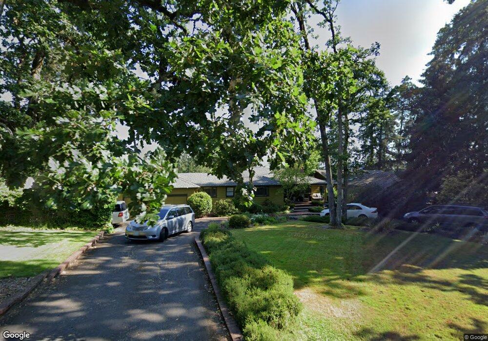
1505 Mclean Blvd Eugene, OR 97405
Crest Drive NeighborhoodEstimated Value: $595,893 - $769,000
3
Beds
2
Baths
2,452
Sq Ft
$268/Sq Ft
Est. Value
About This Home
This home is located at 1505 Mclean Blvd, Eugene, OR 97405 and is currently estimated at $657,973, approximately $268 per square foot. 1505 Mclean Blvd is a home located in Lane County with nearby schools including Adams Elementary School, Arts And Technology Academy At Jefferson, and Churchill High School.
Ownership History
Date
Name
Owned For
Owner Type
Purchase Details
Closed on
Dec 18, 2009
Sold by
Daggett Duane E
Bought by
Patterson Jason and Patterson Krista
Current Estimated Value
Home Financials for this Owner
Home Financials are based on the most recent Mortgage that was taken out on this home.
Original Mortgage
$288,150
Outstanding Balance
$173,236
Interest Rate
3.5%
Mortgage Type
New Conventional
Estimated Equity
$484,737
Purchase Details
Closed on
May 28, 2008
Sold by
Daggett Duane E and Daggett Duane
Bought by
Daggett Duane E and Duane E Daggett Trust
Create a Home Valuation Report for This Property
The Home Valuation Report is an in-depth analysis detailing your home's value as well as a comparison with similar homes in the area
Home Values in the Area
Average Home Value in this Area
Purchase History
| Date | Buyer | Sale Price | Title Company |
|---|---|---|---|
| Patterson Jason | $339,000 | Evergreen Land Title Company | |
| Daggett Duane E | -- | None Available |
Source: Public Records
Mortgage History
| Date | Status | Borrower | Loan Amount |
|---|---|---|---|
| Open | Patterson Jason | $288,150 |
Source: Public Records
Tax History
| Year | Tax Paid | Tax Assessment Tax Assessment Total Assessment is a certain percentage of the fair market value that is determined by local assessors to be the total taxable value of land and additions on the property. | Land | Improvement |
|---|---|---|---|---|
| 2025 | $6,128 | $314,507 | -- | -- |
| 2024 | $6,052 | $305,347 | -- | -- |
| 2023 | $6,052 | $296,454 | $0 | $0 |
| 2022 | $5,669 | $287,820 | $0 | $0 |
| 2021 | $5,325 | $279,437 | $0 | $0 |
| 2020 | $5,344 | $271,299 | $0 | $0 |
| 2019 | $5,161 | $263,398 | $0 | $0 |
| 2018 | $4,858 | $248,279 | $0 | $0 |
| 2017 | $4,634 | $248,279 | $0 | $0 |
| 2016 | $4,525 | $241,048 | $0 | $0 |
| 2015 | $4,395 | $234,027 | $0 | $0 |
| 2014 | $4,307 | $227,211 | $0 | $0 |
Source: Public Records
Map
Nearby Homes
- 0 Mclean Blvd Unit 24671448
- 0 Mclean Blvd Unit 697374759
- 1783 Graham Dr
- 3160 Whitten Dr
- 1955 W 28th Ave
- 2673 Garfield St
- 2850 Garfield St
- 951 W 27th Ave
- 865 W 28th Ave
- 1 Storey Blvd
- 2 Storey Blvd
- 3023 Ashley Loop
- 3093 Soloman Loop
- 2030 W 34th Ave
- 2225 W 28th Ave
- 2037 Morning View Dr
- 2525 Friendly St
- 0 Hidden Meadows
- 605 Fulvue Dr
- 2315 W 28th Ave
- 1503 Mclean Blvd
- 1501 Mclean Blvd Unit 1
- 1520 Mclean Blvd
- 3005 Whitbeck Blvd
- 3001 Neslo Ln
- 1519 Braeman Village
- 3119 Braeman Village
- 0 Braeman Village Unit 21033104
- 0 Braeman Village Unit 12584151
- 0 Braeman Village Unit 8-10 12469446
- 0 Braeman Village Unit 1-4 12226677
- 0 Braeman Village Unit 5-7 12001384
- 0 Braeman Village
- 3117 Braeman Village
- 3115 Braeman Village
- 3208 Whitbeck Blvd
- 1521 Braeman Village
- 1495 Mclean Blvd
- 3113 Braeman Village
- 1590 Mclean Blvd
Your Personal Tour Guide
Ask me questions while you tour the home.