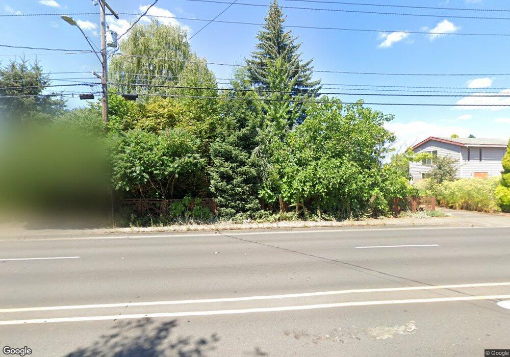
1505 NE Cornell Rd Hillsboro, OR 97124
Northwest Hillsboro NeighborhoodEstimated Value: $492,000 - $593,000
3
Beds
2
Baths
2,167
Sq Ft
$246/Sq Ft
Est. Value
About This Home
This home is located at 1505 NE Cornell Rd, Hillsboro, OR 97124 and is currently estimated at $533,269, approximately $246 per square foot. 1505 NE Cornell Rd is a home located in Washington County with nearby schools including Mooberry Elementary School, J.W. Poynter Middle School, and Liberty High School.
Ownership History
Date
Name
Owned For
Owner Type
Purchase Details
Closed on
Nov 25, 2019
Sold by
Partin Daniel E and Wence Lisa A
Bought by
Partin Daniel E and Wence Lisa A
Current Estimated Value
Purchase Details
Closed on
Nov 20, 2002
Sold by
Partin Daniel E
Bought by
Partin Daniel E and Wence Lisa A
Home Financials for this Owner
Home Financials are based on the most recent Mortgage that was taken out on this home.
Original Mortgage
$148,000
Interest Rate
5.89%
Purchase Details
Closed on
Jul 14, 1998
Sold by
Simmons Michael and Simmons Sherrie L
Bought by
Partin Daniel E
Home Financials for this Owner
Home Financials are based on the most recent Mortgage that was taken out on this home.
Original Mortgage
$151,900
Interest Rate
7.01%
Create a Home Valuation Report for This Property
The Home Valuation Report is an in-depth analysis detailing your home's value as well as a comparison with similar homes in the area
Home Values in the Area
Average Home Value in this Area
Purchase History
| Date | Buyer | Sale Price | Title Company |
|---|---|---|---|
| Partin Daniel E | -- | None Available | |
| Partin Daniel E | -- | First American | |
| Partin Daniel E | $159,900 | Ticor Title Insurance |
Source: Public Records
Mortgage History
| Date | Status | Borrower | Loan Amount |
|---|---|---|---|
| Closed | Partin Daniel E | $148,000 | |
| Closed | Partin Daniel E | $151,900 |
Source: Public Records
Tax History Compared to Growth
Tax History
| Year | Tax Paid | Tax Assessment Tax Assessment Total Assessment is a certain percentage of the fair market value that is determined by local assessors to be the total taxable value of land and additions on the property. | Land | Improvement |
|---|---|---|---|---|
| 2025 | $3,217 | $196,830 | -- | -- |
| 2024 | $3,126 | $191,100 | -- | -- |
| 2023 | $3,126 | $185,540 | $0 | $0 |
| 2022 | $3,041 | $185,540 | $0 | $0 |
| 2021 | $2,980 | $174,900 | $0 | $0 |
| 2020 | $2,916 | $169,810 | $0 | $0 |
| 2019 | $2,832 | $164,870 | $0 | $0 |
| 2018 | $2,711 | $160,070 | $0 | $0 |
| 2017 | $2,613 | $155,410 | $0 | $0 |
| 2016 | $2,541 | $150,890 | $0 | $0 |
| 2015 | $2,439 | $146,500 | $0 | $0 |
| 2014 | $2,425 | $142,240 | $0 | $0 |
Source: Public Records
Map
Nearby Homes
- 1269 NE Grant St
- 1303 NE Cornell Rd
- 1822 NE Barberry Dr
- 461 NE 16th Ave
- 1740 NE Darby St
- 1184 NE Turner Dr
- 1043 NE Sturgess Ave
- 1442 NE 14th Ave
- 1455 NE Jessica Loop
- 2080 NE Darby St
- 1450 NE Sunrise Ln
- 2411 NE Hyde St
- 2570 NE Grant St
- 319 NE Hyde Cir
- 1112 E Main St
- 960 E Main St
- 624 NE Edison St
- 2136 NE 13th Ave
- 1670 NE Jackson School Rd
- 553 NE Buena Vista St
- 1483 NE Cornell Rd
- 1550 NE Oleander Ln
- 1580 NE Oleander Ln
- 1484 NE Oleander Ln
- 1405 NE Queens Ln
- 1408 NE Birchaire Ln
- 1455 NE Cornell Rd
- 1462 NE Oleander Ln
- 1504 NE Cornell Rd
- 1530 NE Cornell Rd
- 1366 NE Birchaire (Blt 1999) Ln
- 1366 NE Birchaire Blt 1999 Ln
- 1490 NE Cornell Rd
- 1366 NE Birchaire Ln
- 1379 NE Queens Ln
- 1470 NE Cornell Rd
- 1435 NE Cornell Rd
- 1549 NE Oleander Ln
- 1577 NE Oleander Ln
- 1442 NE Oleander Ln