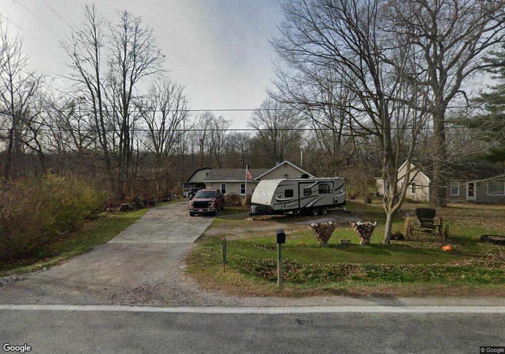
1505 Richman Rd Kimball, MI 48074
Estimated Value: $164,889 - $202,000
3
Beds
1
Bath
1,208
Sq Ft
$147/Sq Ft
Est. Value
About This Home
This home is located at 1505 Richman Rd, Kimball, MI 48074 and is currently estimated at $177,972, approximately $147 per square foot. 1505 Richman Rd is a home located in St. Clair County with nearby schools including Kimball Elementary School, Central Middle School, and Port Huron High School.
Ownership History
Date
Name
Owned For
Owner Type
Purchase Details
Closed on
Jul 13, 2009
Sold by
Grasley Norman W
Bought by
Clark Sarah and Grasley Norman W
Current Estimated Value
Purchase Details
Closed on
Jul 24, 2007
Sold by
Bank Of The New York
Bought by
Grasley Norman W
Home Financials for this Owner
Home Financials are based on the most recent Mortgage that was taken out on this home.
Original Mortgage
$42,550
Interest Rate
6.79%
Mortgage Type
New Conventional
Purchase Details
Closed on
May 4, 2006
Sold by
Willard Karen M and Willard Leonard J
Bought by
Bank Of Newyork
Create a Home Valuation Report for This Property
The Home Valuation Report is an in-depth analysis detailing your home's value as well as a comparison with similar homes in the area
Home Values in the Area
Average Home Value in this Area
Purchase History
| Date | Buyer | Sale Price | Title Company |
|---|---|---|---|
| Clark Sarah | -- | None Available | |
| Grasley Norman W | $44,500 | None Available | |
| Bank Of Newyork | $76,500 | None Available |
Source: Public Records
Mortgage History
| Date | Status | Borrower | Loan Amount |
|---|---|---|---|
| Previous Owner | Grasley Norman W | $42,550 |
Source: Public Records
Tax History Compared to Growth
Tax History
| Year | Tax Paid | Tax Assessment Tax Assessment Total Assessment is a certain percentage of the fair market value that is determined by local assessors to be the total taxable value of land and additions on the property. | Land | Improvement |
|---|---|---|---|---|
| 2025 | $1,091 | $59,700 | $0 | $0 |
| 2024 | $618 | $56,000 | $0 | $0 |
| 2023 | $566 | $52,600 | $0 | $0 |
| 2022 | $975 | $46,300 | $0 | $0 |
| 2021 | $880 | $39,800 | $0 | $0 |
| 2020 | $880 | $40,500 | $40,500 | $0 |
| 2019 | $863 | $37,600 | $0 | $0 |
| 2018 | $843 | $37,900 | $0 | $0 |
| 2017 | $916 | $36,600 | $0 | $0 |
| 2016 | $511 | $36,600 | $0 | $0 |
| 2015 | -- | $36,500 | $36,500 | $0 |
| 2014 | -- | $46,700 | $46,700 | $0 |
| 2013 | -- | $39,300 | $0 | $0 |
Source: Public Records
Map
Nearby Homes
- 1533 Richman Rd
- 1688 Sturdevant Rd
- 1900 Burns Rd
- 1371 Sturdevant Rd
- 1261 Sturdevant Rd
- 6417 Dove Rd
- VL Lambs Rd
- 0 Sparling Rd Unit 2210034403
- 6928 Smiths Creek Rd
- 1671 Ditty Rd
- 7710 Sparling Rd
- 8067 Lambs Rd
- 0 Sparling Unit 20230091288
- 00 Griswold Rd
- 355 Henry St
- 8237 Lambs Rd
- I-69 vac Taylor Dr
- 2019 Edward Ln E
- 1876 Morningstar Ave
- 6928 Lapeer Rd
- 1517 Richman Rd
- 1525 Richman Rd
- 1502 Richman Rd
- 1490 Richman Rd
- 1512 Richman Rd
- 1522 Richman Rd
- 1470 Richman Rd
- 1541 Richman Rd
- 6975 Dove Rd
- 1532 Richman Rd
- 1549 Richman Rd
- 6955 Dove Rd
- 1557 Richman Rd
- 1450 Richman Rd
- 1565 Richman Rd
- 1581 Richman Rd
- 1440 Richman Rd
- 1589 Richman Rd
- 1597 Richman Rd
- 1605 Richman Rd