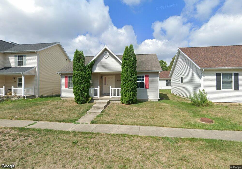
1505 S Smith Rd Urbana, IL 61802
East Urbana NeighborhoodEstimated Value: $197,000 - $217,000
--
Bed
2
Baths
1,081
Sq Ft
$193/Sq Ft
Est. Value
About This Home
This home is located at 1505 S Smith Rd, Urbana, IL 61802 and is currently estimated at $208,948, approximately $193 per square foot. 1505 S Smith Rd is a home located in Champaign County with nearby schools including Dr. Preston L. Williams Jr. Elementary School, Urbana Middle School, and Urbana High School.
Ownership History
Date
Name
Owned For
Owner Type
Purchase Details
Closed on
May 13, 2020
Sold by
Amuwo Shaffedeen A and Amuwo Linda M
Bought by
Amuwo Shaffedeen A and Amuwo Linda M
Current Estimated Value
Purchase Details
Closed on
Jan 2, 2006
Sold by
Amuwo Shaffdeen A and Amuwo Quamdeen A
Bought by
Amuwo Shaffdeen A and Amuwo Linda
Home Financials for this Owner
Home Financials are based on the most recent Mortgage that was taken out on this home.
Original Mortgage
$106,400
Interest Rate
6%
Mortgage Type
New Conventional
Create a Home Valuation Report for This Property
The Home Valuation Report is an in-depth analysis detailing your home's value as well as a comparison with similar homes in the area
Home Values in the Area
Average Home Value in this Area
Purchase History
| Date | Buyer | Sale Price | Title Company |
|---|---|---|---|
| Amuwo Shaffedeen A | -- | None Available | |
| Amuwo Shaffdeen A | -- | None Available |
Source: Public Records
Mortgage History
| Date | Status | Borrower | Loan Amount |
|---|---|---|---|
| Closed | Amuwo Shaffdeen A | $106,400 |
Source: Public Records
Tax History Compared to Growth
Tax History
| Year | Tax Paid | Tax Assessment Tax Assessment Total Assessment is a certain percentage of the fair market value that is determined by local assessors to be the total taxable value of land and additions on the property. | Land | Improvement |
|---|---|---|---|---|
| 2024 | $5,347 | $55,100 | $8,420 | $46,680 |
| 2023 | $5,347 | $50,270 | $7,680 | $42,590 |
| 2022 | $4,361 | $46,290 | $7,070 | $39,220 |
| 2021 | $4,009 | $43,140 | $6,590 | $36,550 |
| 2020 | $4,506 | $41,890 | $6,400 | $35,490 |
| 2019 | $4,378 | $41,890 | $6,400 | $35,490 |
| 2018 | $3,739 | $42,190 | $6,450 | $35,740 |
| 2017 | $3,868 | $42,190 | $6,450 | $35,740 |
| 2016 | $3,847 | $42,190 | $6,450 | $35,740 |
| 2015 | $3,889 | $42,190 | $6,450 | $35,740 |
| 2014 | $4,473 | $42,190 | $6,450 | $35,740 |
| 2013 | $3,786 | $42,190 | $6,450 | $35,740 |
Source: Public Records
Map
Nearby Homes
- 1412 Greenridge Dr
- 1501 S Abercorn St
- 1316 S Smith Rd
- 1314 S Smith Rd
- 1312 S Smith Rd
- 1310 S Smith Rd
- 1734 S Stone Creek Blvd
- 1317 Montgomery St
- 2105 E Pennsylvania Ave
- 2207 E Country Squire Dr
- 1303 Montgomery St
- 2006 E Michigan Ave
- 2424 E Washington St
- 704 S Scottswood Dr
- 1007 Rainbow View
- 1104 Lanore Dr
- 903 Rainbow View
- 2709 E Castlerock Dr
- 1926 S Prairie Winds Dr
- 2802 River Birch Ln
- 1503 S Smith Rd
- 1507 S Smith Rd
- 1507 S Smith Rd Unit 1
- 1509 S Smith Rd
- 1501 S Smith Rd
- 1506 Greenridge Dr
- 1511 S Smith Rd
- 1508 Greenridge Dr
- 1504 Greenridge Dr
- 1421 S Smith Rd
- 1506 S Smith Rd
- 1510 Greenridge Dr
- 1601 S Smith Rd
- 1504 S Smith Rd
- 1508 S Smith Rd
- 1502 S Smith Rd
- 1510 S Smith Rd
- 1502 Greenridge Dr
- 1419 S Smith Rd
- 1512 S Smith Rd