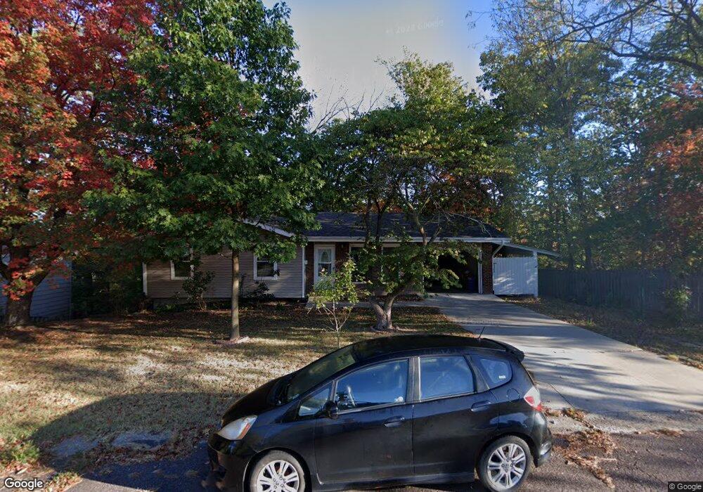
1505 Saint Andrew St Columbia, MO 65203
Westwinds Park NeighborhoodEstimated Value: $258,000 - $305,000
3
Beds
2
Baths
1,695
Sq Ft
$164/Sq Ft
Est. Value
About This Home
This home is located at 1505 Saint Andrew St, Columbia, MO 65203 and is currently estimated at $278,689, approximately $164 per square foot. 1505 Saint Andrew St is a home located in Boone County with nearby schools including Russell Boulevard Elementary School, West Middle School, and David H. Hickman High School.
Ownership History
Date
Name
Owned For
Owner Type
Purchase Details
Closed on
Dec 13, 2021
Sold by
Neds Tim
Bought by
Flakne Mark
Current Estimated Value
Purchase Details
Closed on
Oct 12, 2006
Sold by
Park Chung U
Bought by
Neds Tim
Create a Home Valuation Report for This Property
The Home Valuation Report is an in-depth analysis detailing your home's value as well as a comparison with similar homes in the area
Home Values in the Area
Average Home Value in this Area
Purchase History
| Date | Buyer | Sale Price | Title Company |
|---|---|---|---|
| Flakne Mark | -- | Boone Central Title Company | |
| Neds Tim | -- | None Available |
Source: Public Records
Tax History Compared to Growth
Tax History
| Year | Tax Paid | Tax Assessment Tax Assessment Total Assessment is a certain percentage of the fair market value that is determined by local assessors to be the total taxable value of land and additions on the property. | Land | Improvement |
|---|---|---|---|---|
| 2025 | $1,598 | $27,132 | $2,812 | $24,320 |
| 2024 | $1,598 | $23,693 | $2,812 | $20,881 |
| 2023 | $1,585 | $23,693 | $2,812 | $20,881 |
| 2022 | $1,467 | $21,945 | $2,812 | $19,133 |
| 2021 | $1,469 | $21,945 | $2,812 | $19,133 |
| 2020 | $1,396 | $19,596 | $2,812 | $16,784 |
| 2019 | $1,396 | $19,596 | $2,812 | $16,784 |
| 2018 | $1,302 | $0 | $0 | $0 |
| 2017 | $1,286 | $18,145 | $2,812 | $15,333 |
| 2016 | $1,320 | $18,145 | $2,812 | $15,333 |
| 2015 | $1,218 | $18,145 | $2,812 | $15,333 |
| 2014 | $1,225 | $18,145 | $2,812 | $15,333 |
Source: Public Records
Map
Nearby Homes
- 1424 Bradford Dr
- 1402 W Rollins Rd
- 1102 Westwinds Dr
- 1414 Shannon Place
- 839 Marylee Ct
- 906 West Blvd S
- 1010 Yale
- 1402 Coachlamp Ct
- 912 W Rollins Rd
- 1108 W Stewart Rd
- 1201 Fieldcrest
- 1105 Vegas Dr
- 2306 Woodridge Rd
- 1109 Lakeshore Dr
- 1008 Lakeshore Dr
- 404 S Greenwood Ave
- 1307 Garden Ct
- 504 S Glenwood Ave
- 2008 S Deerborn Cir
- 504 Loch Ln
- 1509 Saint Andrew St
- 1502 Saint Andrew St
- 1506 Saint Andrew St
- 1413 Saint Andrew St
- 1414 Saint Andrew St
- 1515 Saint Andrew St
- 1508 Saint Andrew St
- 1517 Saint Andrew St
- 1411 Saint Andrew St
- 1412 Saint Andrew St
- 1512 Saint Andrew St
- 1513 Saint Christopher St
- 1509 Saint Christopher St
- 1515 Saint Christopher St
- 1515 S St Christopher
- 1505 Saint Christopher St
- 1505 S St Christopher
- 1408 Saint Andrew St
- 1519 Saint Christopher St
- 1407 Saint Andrew St