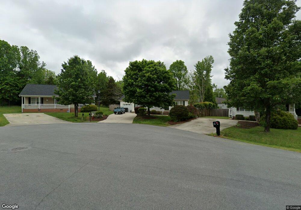
1505 Southtree Ln High Point, NC 27263
Greater High Point NeighborhoodEstimated Value: $213,000 - $259,000
3
Beds
2
Baths
1,176
Sq Ft
$202/Sq Ft
Est. Value
About This Home
This home is located at 1505 Southtree Ln, High Point, NC 27263 and is currently estimated at $237,680, approximately $202 per square foot. 1505 Southtree Ln is a home located in Guilford County with nearby schools including Allen Jay Elementary School, Southern Guilford Middle, and Southern Guilford High School.
Ownership History
Date
Name
Owned For
Owner Type
Purchase Details
Closed on
Feb 2, 2000
Sold by
Southpark Llc
Bought by
Foster Dallas Quinn and Foster Elizabeth Ann
Current Estimated Value
Home Financials for this Owner
Home Financials are based on the most recent Mortgage that was taken out on this home.
Original Mortgage
$112,300
Outstanding Balance
$36,744
Interest Rate
8.02%
Estimated Equity
$200,936
Create a Home Valuation Report for This Property
The Home Valuation Report is an in-depth analysis detailing your home's value as well as a comparison with similar homes in the area
Home Values in the Area
Average Home Value in this Area
Purchase History
| Date | Buyer | Sale Price | Title Company |
|---|---|---|---|
| Foster Dallas Quinn | $116,000 | -- |
Source: Public Records
Mortgage History
| Date | Status | Borrower | Loan Amount |
|---|---|---|---|
| Open | Foster Dallas Quinn | $112,300 |
Source: Public Records
Tax History
| Year | Tax Paid | Tax Assessment Tax Assessment Total Assessment is a certain percentage of the fair market value that is determined by local assessors to be the total taxable value of land and additions on the property. | Land | Improvement |
|---|---|---|---|---|
| 2025 | $2,147 | $155,800 | $34,500 | $121,300 |
| 2024 | $2,147 | $155,800 | $34,500 | $121,300 |
| 2023 | $2,147 | $155,800 | $34,500 | $121,300 |
| 2022 | $2,100 | $155,800 | $34,500 | $121,300 |
| 2021 | $1,474 | $107,000 | $17,000 | $90,000 |
| 2020 | $1,474 | $107,000 | $17,000 | $90,000 |
| 2019 | $1,474 | $107,000 | $0 | $0 |
| 2018 | $1,467 | $107,000 | $0 | $0 |
| 2017 | $1,467 | $107,000 | $0 | $0 |
| 2016 | $1,603 | $114,300 | $0 | $0 |
| 2015 | $1,612 | $114,300 | $0 | $0 |
| 2014 | $1,639 | $114,300 | $0 | $0 |
Source: Public Records
Map
Nearby Homes
- 3630 Southpark Dr
- 611 Liberty Rd
- 000 Liberty Rd
- 126 Apollo Cir
- 1535 E Fairfield Rd
- 919 Belmont Dr
- 116 Liberty Place
- 914 Nance Ave
- 717 Belmont Dr
- 1105 E Springfield Rd
- 510 Aldridge Rd
- 424 Aldridge Rd
- 600 E Fairfield Rd
- 10812, 10822, 10828 N Main St
- 715 Baker Rd
- 10844 N Main St
- 921 Norton St
- 1606 Chelsea Square
- 4020 Knollwood Dr
- 1638 Kersey Valley Rd
- 1509 Southtree Ln
- 1503 Southtree Ln
- 1502 Hughes Ct
- 1511 Southtree Ln
- 1504 Hughes Ct
- 1501 Southtree Ln
- 1500 Hughes Ct
- 1508 Hughes Ct
- 1504 Southtree Ln
- 1500 Southtree Ln
- 1502 Southtree Ln
- 1506 Southtree Ln
- 3629 Akers Ct
- 3634 Southpark Dr
- 1501 Hughes Ct
- 3627 Akers Ct
- 3625 Akers Ct
- 3636 Southpark Dr
- 1508 Southtree Ln
- 3623 Akers Ct
Your Personal Tour Guide
Ask me questions while you tour the home.