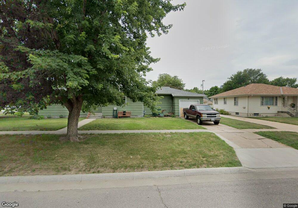
1505 W 6th St Hastings, NE 68901
Estimated Value: $129,000 - $154,000
2
Beds
2
Baths
1,300
Sq Ft
$108/Sq Ft
Est. Value
About This Home
This home is located at 1505 W 6th St, Hastings, NE 68901 and is currently estimated at $140,748, approximately $108 per square foot. 1505 W 6th St is a home located in Adams County with nearby schools including Hastings Senior High School, St. Michael's Preschool & Elementary School, and St. Cecilia High School.
Ownership History
Date
Name
Owned For
Owner Type
Purchase Details
Closed on
Jul 14, 2023
Sold by
B R Rentals Llc
Bought by
Demuth-Hinrichs Llc
Current Estimated Value
Purchase Details
Closed on
Nov 27, 2007
Sold by
Heil Richard G and Heil Claudia J
Bought by
Hinrichs Brent B and Hinrichs Rogene L
Home Financials for this Owner
Home Financials are based on the most recent Mortgage that was taken out on this home.
Original Mortgage
$60,272
Interest Rate
6.43%
Mortgage Type
Future Advance Clause Open End Mortgage
Create a Home Valuation Report for This Property
The Home Valuation Report is an in-depth analysis detailing your home's value as well as a comparison with similar homes in the area
Home Values in the Area
Average Home Value in this Area
Purchase History
| Date | Buyer | Sale Price | Title Company |
|---|---|---|---|
| Demuth-Hinrichs Llc | $310,000 | Adams Land Title | |
| Hinrichs Brent B | $60,000 | None Available |
Source: Public Records
Mortgage History
| Date | Status | Borrower | Loan Amount |
|---|---|---|---|
| Previous Owner | Hinrichs Brent B | $60,272 |
Source: Public Records
Tax History Compared to Growth
Tax History
| Year | Tax Paid | Tax Assessment Tax Assessment Total Assessment is a certain percentage of the fair market value that is determined by local assessors to be the total taxable value of land and additions on the property. | Land | Improvement |
|---|---|---|---|---|
| 2024 | $1,509 | $96,983 | $20,059 | $76,924 |
| 2023 | $2,179 | $105,597 | $20,059 | $85,538 |
| 2022 | $1,947 | $86,423 | $20,059 | $66,364 |
| 2021 | $1,700 | $77,514 | $16,066 | $61,448 |
| 2020 | $1,608 | $74,588 | $16,066 | $58,522 |
| 2019 | $1,532 | $71,801 | $16,066 | $55,735 |
| 2018 | $1,370 | $63,880 | $8,145 | $55,735 |
| 2017 | $1,369 | $63,880 | $0 | $0 |
| 2016 | $1,271 | $59,280 | $8,145 | $51,135 |
| 2011 | -- | $0 | $0 | $0 |
Source: Public Records
Map
Nearby Homes
- 714 N Baltimore Ave
- 1615 W 7th St
- 619 N Briggs Ave
- 313 Jefferson Ave
- 514 Oswego Ave
- 1733 W 5th St
- 618 N Saunders Ave
- 1801 W 7th St
- 1619 Boyce St
- 310 N Saunders Ave
- 1734 W 2nd St
- 1114-1116 W 6th St
- 727 N Williams Ave
- 904 N Washington Ave
- 1911 W 5th St
- 1011 W 4th St
- 1814 Boyce St
- 1001 N Webster Ave
- 1918 W 3rd St
- 1108 N Baltimore Ave