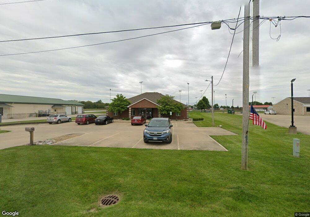
1505 W Main St Mount Zion, IL 62549
Estimated Value: $430,847
--
Bed
--
Bath
--
Sq Ft
0.52
Acres
About This Home
This home is located at 1505 W Main St, Mount Zion, IL 62549 and is currently estimated at $430,847. 1505 W Main St is a home located in Macon County with nearby schools including McGaughey Elementary School, Mt. Zion Elementary School, and Mt. Zion Intermediate School.
Ownership History
Date
Name
Owned For
Owner Type
Purchase Details
Closed on
Jul 23, 2020
Sold by
Hughey John Kevin and Hughey Camda M
Bought by
Vision Of Rhs & P Llc
Current Estimated Value
Home Financials for this Owner
Home Financials are based on the most recent Mortgage that was taken out on this home.
Original Mortgage
$295,000
Interest Rate
3%
Mortgage Type
New Conventional
Create a Home Valuation Report for This Property
The Home Valuation Report is an in-depth analysis detailing your home's value as well as a comparison with similar homes in the area
Home Values in the Area
Average Home Value in this Area
Purchase History
| Date | Buyer | Sale Price | Title Company |
|---|---|---|---|
| Vision Of Rhs & P Llc | $295,000 | None Available |
Source: Public Records
Mortgage History
| Date | Status | Borrower | Loan Amount |
|---|---|---|---|
| Closed | Vision Of Rhs & P Llc | $295,000 |
Source: Public Records
Tax History Compared to Growth
Tax History
| Year | Tax Paid | Tax Assessment Tax Assessment Total Assessment is a certain percentage of the fair market value that is determined by local assessors to be the total taxable value of land and additions on the property. | Land | Improvement |
|---|---|---|---|---|
| 2024 | $9,593 | $122,901 | $16,805 | $106,096 |
| 2023 | $9,334 | $114,306 | $15,630 | $98,676 |
| 2022 | $8,972 | $108,418 | $14,825 | $93,593 |
| 2021 | $8,762 | $101,569 | $13,888 | $87,681 |
| 2020 | $8,471 | $99,344 | $13,584 | $85,760 |
| 2019 | $8,471 | $99,344 | $13,584 | $85,760 |
| 2018 | $8,235 | $96,807 | $13,237 | $83,570 |
| 2017 | $8,139 | $94,947 | $12,983 | $81,964 |
| 2016 | $8,073 | $93,295 | $12,757 | $80,538 |
| 2015 | $7,816 | $92,372 | $12,631 | $79,741 |
| 2014 | $7,535 | $92,372 | $12,631 | $79,741 |
| 2013 | $7,622 | $92,372 | $12,631 | $79,741 |
Source: Public Records
Map
Nearby Homes
- 265 Carrington Ave
- 1030 Country Manor
- 695 Country Ct
- 50 Sundance Dr
- 1610 Robin Ct
- 524 Elm St
- 1820 Buckhead Ln
- 860 W Wildwood Dr
- 125 W Walnut St
- 1935 Buckhead Ct
- 9 Blakeridge Place
- 355 S Henderson St
- 2125 Buckhead Ave
- 2110 Buckhead Ln
- 1700 Brentwood Dr
- 1625 Ridgewood Ct
- 2130 Buckhead Ave
- 2035 Buckhead Blvd
- 2020 Buckhead Ln
- 2030 Buckhead Ln
- 1325 W Main St
- 190 Lexington Cir
- 1315 W Main St
- 180 Lexington Cir
- 195 Lexington Cir
- 170 Lexington Cir
- 1245 W Main St
- 160 Lexington Cir
- 185 Lexington Cir
- 1235 W Main St
- 800 Westside Dr
- 150 Lexington Cir
- 820 Westside Dr
- 810 Westside Dr
- 1225 W Main St
- 140 Lexington Cir
- 830 Westside Dr
- 140 Kensington Ct
- 170 Covington Ave
- 840 Westside Dr