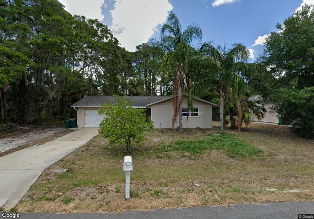
15050 Buswell Ave Port Charlotte, FL 33953
Northwest Port Charlotte NeighborhoodEstimated Value: $208,098 - $251,000
3
Beds
2
Baths
1,118
Sq Ft
$207/Sq Ft
Est. Value
About This Home
This home is located at 15050 Buswell Ave, Port Charlotte, FL 33953 and is currently estimated at $231,275, approximately $206 per square foot. 15050 Buswell Ave is a home located in Charlotte County with nearby schools including Liberty Elementary School, Murdock Middle School, and Port Charlotte High School.
Ownership History
Date
Name
Owned For
Owner Type
Purchase Details
Closed on
Oct 4, 2024
Sold by
Ollerenshaw Ronald S and Ollerenshaw Karen A
Bought by
Ollerenshaw Ronald S and Ollerenshaw Karen A
Current Estimated Value
Purchase Details
Closed on
Jun 25, 1999
Sold by
Posteraro Gene L and Posteraro Sue L
Bought by
Ollerenshaw Ronald and Ollerenshaw Karen A
Home Financials for this Owner
Home Financials are based on the most recent Mortgage that was taken out on this home.
Original Mortgage
$50,000
Interest Rate
7.13%
Create a Home Valuation Report for This Property
The Home Valuation Report is an in-depth analysis detailing your home's value as well as a comparison with similar homes in the area
Home Values in the Area
Average Home Value in this Area
Purchase History
| Date | Buyer | Sale Price | Title Company |
|---|---|---|---|
| Ollerenshaw Ronald S | $100 | None Listed On Document | |
| Ollerenshaw Ronald | $63,000 | -- |
Source: Public Records
Mortgage History
| Date | Status | Borrower | Loan Amount |
|---|---|---|---|
| Previous Owner | Ollerenshaw Ronald | $50,000 |
Source: Public Records
Tax History Compared to Growth
Tax History
| Year | Tax Paid | Tax Assessment Tax Assessment Total Assessment is a certain percentage of the fair market value that is determined by local assessors to be the total taxable value of land and additions on the property. | Land | Improvement |
|---|---|---|---|---|
| 2024 | $1,425 | $54,160 | -- | -- |
| 2023 | $1,425 | $52,583 | $0 | $0 |
| 2022 | $1,346 | $51,051 | $0 | $0 |
| 2021 | $1,338 | $49,564 | $0 | $0 |
| 2020 | $1,276 | $48,880 | $0 | $0 |
| 2019 | $1,193 | $47,781 | $0 | $0 |
| 2018 | $1,103 | $46,890 | $0 | $0 |
| 2017 | $1,081 | $45,926 | $0 | $0 |
| 2016 | $1,060 | $44,981 | $0 | $0 |
| 2015 | $1,036 | $44,668 | $0 | $0 |
| 2014 | $898 | $44,313 | $0 | $0 |
Source: Public Records
Map
Nearby Homes
- 15074 Faulkner Ave
- 15035 Buswell Ave
- 1072 Cabot St
- 15106 Gulistan Ave
- 15098 Gulistan Ave
- 15152 Gulistan Ave
- 15082 Community Ave
- 730 Lomond Dr
- 1105 Cabot St
- 1234 Lotus St
- 15248 Malcolm Ave
- 14458 Bulger Ave
- 1112 Cornelius Blvd
- 15160 Buswell Ave
- 15090 Rebecca Ave
- 15247 Faulkner Ave
- 15105 Faulkner Ave
- 618 Lomond Dr
- 14435 Grenoble Ave
- 1166 Chagrin Ln
- 15042 Buswell Ave
- 15058 Buswell Ave
- 15034 Buswell Ave
- 15059 Buswell Ave
- 15043 Buswell Ave
- 15035 Community Ave
- 15067 Buswell Ave
- 15027 Community Ave
- 15075 Community Ave
- 15027 Buswell Ave
- 15050 Chamberlain Blvd
- 15050 Community Ave
- 15058 Chamberlain Blvd
- 15042 Community Ave
- 15042 Chamberlain Blvd
- 15018 Buswell Ave
- 15034 Community Ave
- 15066 Chamberlain Blvd
- 15034 Chamberlain Blvd
- 15083 Community Ave Unit y Ave.