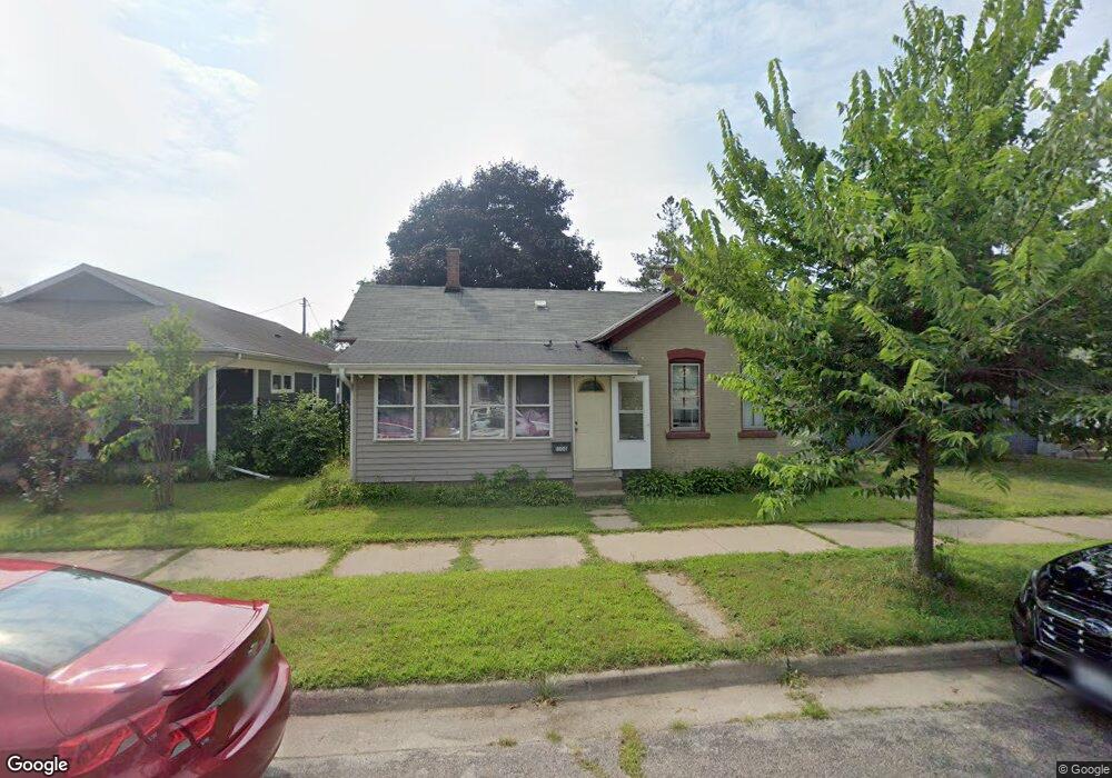
1506 10th St S La Crosse, WI 54601
Powell Poage Hamilton NeighborhoodEstimated Value: $158,000 - $174,000
2
Beds
1
Bath
1,008
Sq Ft
$167/Sq Ft
Est. Value
About This Home
This home is located at 1506 10th St S, La Crosse, WI 54601 and is currently estimated at $167,960, approximately $166 per square foot. 1506 10th St S is a home located in La Crosse County with nearby schools including Spence Elementary School, Lincoln Middle School, and Central High School.
Ownership History
Date
Name
Owned For
Owner Type
Purchase Details
Closed on
Sep 29, 2021
Sold by
Wachuta Clement R and Wachuta Mary Grace
Bought by
Nice Home Usa Llc
Current Estimated Value
Purchase Details
Closed on
Sep 17, 2020
Sold by
Nice Home Usa Llc
Bought by
Wachuta Clement R and Wachuta Mary Grace
Purchase Details
Closed on
Jan 11, 2016
Sold by
Wachuta Clement R and Rojo Wachuta Mary Grace Bernadette
Bought by
Nice Home Usa Llc
Purchase Details
Closed on
Sep 11, 2014
Sold by
Weber Lloyd W and Weber Anna
Bought by
Wachuta Clement R and Wachuta Mary Grace Bernadette Rojo
Home Financials for this Owner
Home Financials are based on the most recent Mortgage that was taken out on this home.
Original Mortgage
$29,250
Interest Rate
4.11%
Mortgage Type
New Conventional
Create a Home Valuation Report for This Property
The Home Valuation Report is an in-depth analysis detailing your home's value as well as a comparison with similar homes in the area
Home Values in the Area
Average Home Value in this Area
Purchase History
| Date | Buyer | Sale Price | Title Company |
|---|---|---|---|
| Nice Home Usa Llc | -- | New Castle Title | |
| Wachuta Clement R | -- | New Castle Title | |
| Nice Home Usa Llc | -- | -- | |
| Wachuta Clement R | -- | -- |
Source: Public Records
Mortgage History
| Date | Status | Borrower | Loan Amount |
|---|---|---|---|
| Previous Owner | Wachuta Clement R | $29,250 |
Source: Public Records
Tax History Compared to Growth
Tax History
| Year | Tax Paid | Tax Assessment Tax Assessment Total Assessment is a certain percentage of the fair market value that is determined by local assessors to be the total taxable value of land and additions on the property. | Land | Improvement |
|---|---|---|---|---|
| 2023 | $2,235 | $111,700 | $14,100 | $97,600 |
| 2022 | $2,122 | $111,700 | $14,100 | $97,600 |
| 2021 | $2,031 | $80,800 | $14,100 | $66,700 |
| 2020 | $1,998 | $80,800 | $14,100 | $66,700 |
| 2019 | $1,994 | $80,800 | $14,100 | $66,700 |
| 2018 | $1,625 | $55,100 | $12,900 | $42,200 |
| 2017 | $1,527 | $55,100 | $12,900 | $42,200 |
| 2016 | $1,603 | $55,100 | $12,900 | $42,200 |
| 2015 | $1,525 | $55,100 | $12,900 | $42,200 |
| 2014 | $1,540 | $55,800 | $12,900 | $42,900 |
| 2013 | $1,837 | $55,800 | $12,900 | $42,900 |
Source: Public Records
Map
Nearby Homes
- 938 Hood St
- 1608 West Ave S
- 1124 West Ave S
- 1229 Hintgen Ct
- 1202 West Ave S
- 1406 6th St S
- 1027 6th St S
- 1322 5th Ave S
- 1308 5th Ave S
- 1521 Denton St
- 1321 4th St S
- 1315 4th St S
- 511 Mississippi St
- 1506 Barlow St
- 1612 Green Bay St
- 1920 Fanell Dr
- 1123 3rd St S
- 1213 Townsend St
- 1653 Redfield St
- 1625 Barlow St