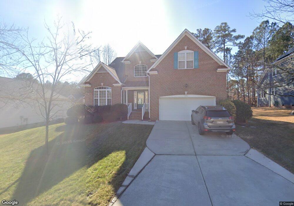
1506 Carrickfergus Ct Durham, NC 27713
South Durham NeighborhoodEstimated Value: $664,000 - $726,000
3
Beds
4
Baths
3,200
Sq Ft
$214/Sq Ft
Est. Value
About This Home
This home is located at 1506 Carrickfergus Ct, Durham, NC 27713 and is currently estimated at $685,996, approximately $214 per square foot. 1506 Carrickfergus Ct is a home located in Durham County with nearby schools including Lowe's Grove Middle, Hillside High School, and Kestrel Heights School.
Ownership History
Date
Name
Owned For
Owner Type
Purchase Details
Closed on
Feb 25, 2015
Sold by
D R Horton Inc
Bought by
Eubanks Mark
Current Estimated Value
Home Financials for this Owner
Home Financials are based on the most recent Mortgage that was taken out on this home.
Original Mortgage
$282,800
Outstanding Balance
$218,105
Interest Rate
3.87%
Mortgage Type
New Conventional
Estimated Equity
$467,891
Create a Home Valuation Report for This Property
The Home Valuation Report is an in-depth analysis detailing your home's value as well as a comparison with similar homes in the area
Home Values in the Area
Average Home Value in this Area
Purchase History
| Date | Buyer | Sale Price | Title Company |
|---|---|---|---|
| Eubanks Mark | -- | None Available |
Source: Public Records
Mortgage History
| Date | Status | Borrower | Loan Amount |
|---|---|---|---|
| Open | Eubanks Mark | $282,800 |
Source: Public Records
Tax History
| Year | Tax Paid | Tax Assessment Tax Assessment Total Assessment is a certain percentage of the fair market value that is determined by local assessors to be the total taxable value of land and additions on the property. | Land | Improvement |
|---|---|---|---|---|
| 2025 | $6,119 | $617,268 | $147,375 | $469,893 |
| 2024 | $5,100 | $365,609 | $81,937 | $283,672 |
| 2023 | $4,789 | $365,609 | $81,937 | $283,672 |
| 2022 | $4,679 | $365,609 | $81,937 | $283,672 |
| 2021 | $4,657 | $365,609 | $81,937 | $283,672 |
| 2020 | $4,548 | $365,609 | $81,937 | $283,672 |
| 2019 | $4,548 | $365,609 | $81,937 | $283,672 |
| 2018 | $5,042 | $371,718 | $70,000 | $301,718 |
| 2017 | $5,005 | $371,718 | $70,000 | $301,718 |
| 2016 | $4,836 | $371,718 | $70,000 | $301,718 |
| 2015 | $4,721 | $341,037 | $63,200 | $277,837 |
| 2014 | $4,721 | $341,037 | $63,200 | $277,837 |
Source: Public Records
Map
Nearby Homes
- 1425 Cherob Ln
- 1448 Cherob Ln
- 7 Monteith Ct
- 204 S Bend Dr
- 8115 Massey Chapel Rd
- 208 Education Ave
- 7502 Hedfield Way
- 1010 Sturbridge Dr
- 903 Limerick Ln
- 1009 Chancellors Ridge Dr
- 1021 Pondfield Way
- 5409 Grandhaven Dr
- 7907 Massey Chapel Rd
- 4517 Grandale Dr
- 4 Green Springs Ct
- 1604 Timber Wolf Dr
- 7 Scenic Ct
- 5308 Mccormick Rd
- 7 Guilder Cove
- 43 Redbud Ct
- 1504 Carrickfergus Ct
- 1508 Carrickfergus Ct
- 1008 Martry Rd
- 1502 Carrickfergus Ct
- 1005 Martry Rd
- 1007 Martry Rd
- 1503 Carrickfergus Ct
- 1009 Martry Rd
- 1505 Carrickfergus Ct
- 1003 Martry Rd
- 110 Castlebar Ln
- 1001 Martry Rd
- 1101 Martry Rd
- 1415 Carrickfergus Ct
- 108 Castlebar Ln
- 909 Martry Rd
- 106 Castle Bar Ln
- 106 Castlebar Ln
- 102 Castlebar Ln
- 104 Castlebar Ln
Your Personal Tour Guide
Ask me questions while you tour the home.