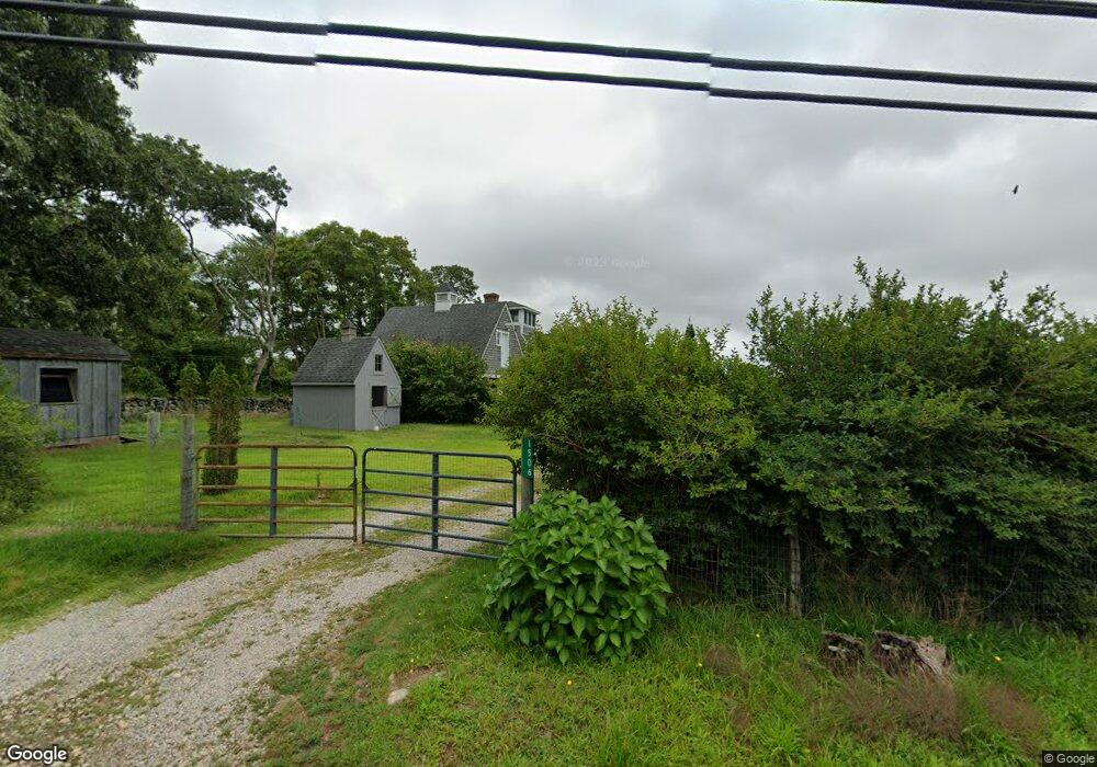
1506 Drift Rd Westport, MA 02790
Westport Point NeighborhoodEstimated Value: $668,000 - $1,363,200
2
Beds
2
Baths
3,215
Sq Ft
$336/Sq Ft
Est. Value
About This Home
This home is located at 1506 Drift Rd, Westport, MA 02790 and is currently estimated at $1,081,050, approximately $336 per square foot. 1506 Drift Rd is a home located in Bristol County with nearby schools including Alice A. Macomber Primary School, Westport Elementary School, and Westport Middle-High School.
Ownership History
Date
Name
Owned For
Owner Type
Purchase Details
Closed on
Dec 15, 2017
Sold by
Virginia Merlier Ret
Bought by
Quillen Barton H and Quillen Elizabeth L
Current Estimated Value
Purchase Details
Closed on
Oct 18, 2016
Sold by
Merlier Virginia
Bought by
Virginia Merlier Ret
Purchase Details
Closed on
Jan 9, 1992
Sold by
Gracia Dora R
Bought by
Spencer Stanley B
Home Financials for this Owner
Home Financials are based on the most recent Mortgage that was taken out on this home.
Original Mortgage
$160,000
Interest Rate
8.64%
Mortgage Type
Purchase Money Mortgage
Purchase Details
Closed on
Aug 17, 1989
Sold by
Moore Theodore J
Bought by
Spencer Stanley B
Home Financials for this Owner
Home Financials are based on the most recent Mortgage that was taken out on this home.
Original Mortgage
$140,600
Interest Rate
9.93%
Mortgage Type
Purchase Money Mortgage
Create a Home Valuation Report for This Property
The Home Valuation Report is an in-depth analysis detailing your home's value as well as a comparison with similar homes in the area
Home Values in the Area
Average Home Value in this Area
Purchase History
| Date | Buyer | Sale Price | Title Company |
|---|---|---|---|
| Quillen Barton H | $355,000 | -- | |
| Virginia Merlier Ret | -- | -- | |
| Spencer Stanley B | $200,000 | -- | |
| Spencer Stanley B | $187,500 | -- |
Source: Public Records
Mortgage History
| Date | Status | Borrower | Loan Amount |
|---|---|---|---|
| Previous Owner | Spencer Stanley B | $270,000 | |
| Previous Owner | Spencer Stanley B | $160,000 | |
| Previous Owner | Spencer Stanley B | $140,600 |
Source: Public Records
Tax History Compared to Growth
Tax History
| Year | Tax Paid | Tax Assessment Tax Assessment Total Assessment is a certain percentage of the fair market value that is determined by local assessors to be the total taxable value of land and additions on the property. | Land | Improvement |
|---|---|---|---|---|
| 2025 | $6,166 | $827,600 | $427,300 | $400,300 |
| 2024 | $6,097 | $788,700 | $395,900 | $392,800 |
| 2023 | $5,628 | $689,700 | $326,800 | $362,900 |
| 2022 | $5,188 | $635,500 | $326,800 | $308,700 |
| 2021 | $5,188 | $601,900 | $297,100 | $304,800 |
| 2020 | $4,974 | $590,000 | $285,200 | $304,800 |
| 2019 | $476 | $596,200 | $285,200 | $311,000 |
| 2018 | $3,913 | $478,900 | $215,500 | $263,400 |
| 2017 | $3,958 | $496,600 | $233,200 | $263,400 |
| 2016 | $3,999 | $505,600 | $253,200 | $252,400 |
| 2015 | $4,056 | $511,500 | $235,500 | $276,000 |
Source: Public Records
Map
Nearby Homes
- 99 Sylvia Ln
- 1702J Drift Rd
- 1702 Drift Rd
- 1580 Main Rd
- 1346 Main Rd Unit B
- 1881 Main Rd
- 225 Hixbridge Rd
- 920 Drift Rd
- 332 Division Rd
- 0 Reed Rd (Ss)
- 101 Adamsville Rd
- 837 Main Road & Lot 2
- 837 Main Rd
- 2 Slades Farm Ln
- Lot 2 Horseneck Rd
- 8 Village Way
- 7 Village Way
- 15 Village Way
- 17 Quail Trail
- Lot 2E Horseneck Rd
- 1507 Drift Rd
- 1500 Drift Rd
- 1524 Drift Rd
- 1523 Drift Rd
- 1530 Drift Rd
- 1489 Drift Rd
- 1480 Drift Rd
- 1520 Drift Rd (Lot 41a Parcel 47)
- 1535 Drift Rd
- 1540 Drift Rd
- 1476A Drift Rd
- 1476 Drift Rd
- 1476D Drift Rd Unit Winter
- 1476D Drift Rd Unit Weekly
- 1476G Drift Rd
- 1476 Drift Rd
- 1476 Drift Rd
- 1476 Drift Rd Unit F
- 1476 Drift Rd Unit B
- 1476 Drift Rd