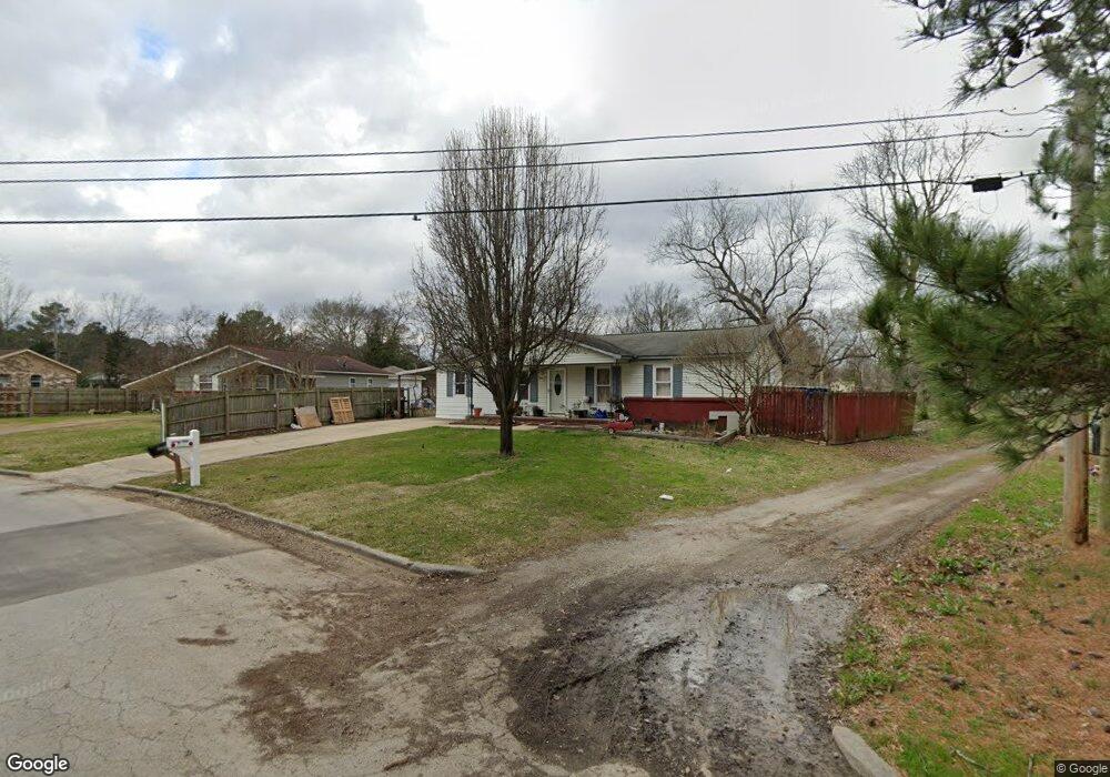
1506 Phillips Ct SW Decatur, AL 35601
Estimated Value: $96,282 - $145,000
--
Bed
--
Bath
1,210
Sq Ft
$104/Sq Ft
Est. Value
About This Home
This home is located at 1506 Phillips Ct SW, Decatur, AL 35601 and is currently estimated at $125,571, approximately $103 per square foot. 1506 Phillips Ct SW is a home located in Morgan County with nearby schools including Banks-Caddell Elementary School, Brookhaven Middle School, and Austin High School.
Ownership History
Date
Name
Owned For
Owner Type
Purchase Details
Closed on
Sep 18, 2007
Sold by
Freeman Jerry Wayne and Bahena Patricia Ann
Bought by
Bahena Valentin
Current Estimated Value
Home Financials for this Owner
Home Financials are based on the most recent Mortgage that was taken out on this home.
Original Mortgage
$61,200
Outstanding Balance
$38,588
Interest Rate
6.49%
Mortgage Type
New Conventional
Estimated Equity
$86,983
Create a Home Valuation Report for This Property
The Home Valuation Report is an in-depth analysis detailing your home's value as well as a comparison with similar homes in the area
Home Values in the Area
Average Home Value in this Area
Purchase History
| Date | Buyer | Sale Price | Title Company |
|---|---|---|---|
| Bahena Valentin | -- | None Available |
Source: Public Records
Mortgage History
| Date | Status | Borrower | Loan Amount |
|---|---|---|---|
| Open | Bahena Valentin | $61,200 |
Source: Public Records
Tax History Compared to Growth
Tax History
| Year | Tax Paid | Tax Assessment Tax Assessment Total Assessment is a certain percentage of the fair market value that is determined by local assessors to be the total taxable value of land and additions on the property. | Land | Improvement |
|---|---|---|---|---|
| 2024 | $786 | $8,680 | $1,870 | $6,810 |
| 2023 | $786 | $16,040 | $3,740 | $12,300 |
| 2022 | $727 | $16,040 | $3,740 | $12,300 |
| 2021 | $680 | $15,000 | $3,740 | $11,260 |
| 2020 | $680 | $15,000 | $3,740 | $11,260 |
| 2019 | $680 | $15,000 | $0 | $0 |
| 2015 | $587 | $12,960 | $0 | $0 |
| 2014 | $587 | $12,960 | $0 | $0 |
| 2013 | -- | $12,280 | $0 | $0 |
Source: Public Records
Map
Nearby Homes
- 1519 Phillips Ave SW
- 120 Beard St SW
- 116 Daniel St SW
- 1606 3rd Ave SW
- 405 Beard St SW
- 1403 7th Ave SE
- 216 Austinville Rd SW
- 504 Betty St SW
- 420 Autumnwood Dr SW
- 430 Autumnwood Dr SW
- 1210 9th Ave SE
- 1007 Honeysuckle Ln SW
- 1703 10th Ave SE
- 456 Autumnwood Dr SW
- 428 Carridale St SW
- 434 Carridale St SW
- 1910 Ewell St SW
- 1019 9th Ave SE
- 819 3rd Ave SE
- 1006 Royal Dr SE
- 1508 Phillips Ct SW
- 1417 Phillips Ave SW
- 1510 Phillips Ct SW
- 1415 Phillips Ave SW
- 1505 Phillips Ct SW
- 1413 Phillips Ave SW
- 1512 Phillips Ct SW
- 1501 Phillips Ct SW
- 1411 Phillips Ave SW
- 1515 Phillips Ct SW
- 1502 Phillips Ave SW
- 1418 Phillips Ave SW
- 1416 Phillips Ave SW
- 1514 Phillips Ave SW
- 1409 Phillips Ave SW
- 1414 Phillips Ave SW
- 113 Beard St SW
- 1523 Phillips Ct SW
- 1412 Phillips Ave SW
- 1504 Phillips Ave SW