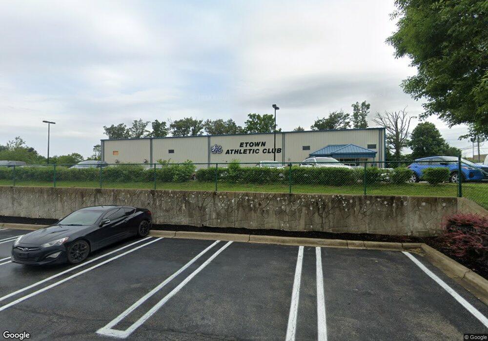
1506 Ring Rd Elizabethtown, KY 42701
Estimated Value: $2,410,185
--
Bed
--
Bath
29,765
Sq Ft
$81/Sq Ft
Est. Value
About This Home
This home is located at 1506 Ring Rd, Elizabethtown, KY 42701 and is currently estimated at $2,410,185, approximately $80 per square foot. 1506 Ring Rd is a home located in Hardin County with nearby schools including New Highland Elementary School, Bluegrass Middle School, and John Hardin High School.
Ownership History
Date
Name
Owned For
Owner Type
Purchase Details
Closed on
Apr 20, 2023
Sold by
Dentac Properties Llc
Bought by
Township Property Group Llc
Current Estimated Value
Purchase Details
Closed on
Feb 21, 2014
Sold by
Nata Restaurant Group Llc
Bought by
Bank Of The Bluegrass & Trust Company
Create a Home Valuation Report for This Property
The Home Valuation Report is an in-depth analysis detailing your home's value as well as a comparison with similar homes in the area
Home Values in the Area
Average Home Value in this Area
Purchase History
| Date | Buyer | Sale Price | Title Company |
|---|---|---|---|
| Township Property Group Llc | $2,030,000 | None Listed On Document | |
| Bank Of The Bluegrass & Trust Company | $1,400,000 | None Available |
Source: Public Records
Tax History Compared to Growth
Tax History
| Year | Tax Paid | Tax Assessment Tax Assessment Total Assessment is a certain percentage of the fair market value that is determined by local assessors to be the total taxable value of land and additions on the property. | Land | Improvement |
|---|---|---|---|---|
| 2024 | $20,828 | $2,030,000 | $500,000 | $1,530,000 |
| 2023 | $16,754 | $1,625,000 | $490,000 | $1,135,000 |
| 2022 | $14,723 | $1,400,000 | $490,000 | $910,000 |
| 2021 | $14,679 | $1,400,000 | $490,000 | $910,000 |
| 2020 | $14,767 | $1,400,000 | $490,000 | $910,000 |
| 2019 | $1,624 | $1,400,000 | $0 | $0 |
| 2018 | $14,380 | $1,400,000 | $0 | $0 |
| 2017 | $14,297 | $1,400,000 | $0 | $0 |
| 2016 | $0 | $1,400,000 | $0 | $0 |
| 2015 | $14,949 | $1,400,000 | $0 | $0 |
| 2012 | -- | $1,711,400 | $0 | $0 |
Source: Public Records
Map
Nearby Homes
- 209 Elegance Way
- 101 Gaston Cir
- 121 Highpoint Ct
- 505 Ashwood Ave
- 400 Ashwood Ave
- 605 Ashwood Ave
- 501 Tami Ct
- 108 Bonfire Ln
- 109 Bonfire Ln
- 1901 & 2001 Veterans Way
- 212B Oaklawn Dr
- 1411 Amanda Jo Dr
- 0 Veterans Way
- 211 Cottrell Ln
- 310 Cottrell Ln
- 107 Amy Ct
- 1312 Rocky Loop
- 105 Arlingwood Ct
- 304 Village Brook Dr
- 303 Village Brook Dr
- 324 Towne Dr
- 1850 Veterans Way
- 204 Ascension Way
- 109 Pikes Peak Place
- 229 Gaston Cir
- 404 Ashwood Ave
- 108 Ashwood Ave
- 308 Ashwood Ave
- 109 Cool Creek Ct
- 109 Rucksack Ct
- 116 Rucksack Ct
- 233 Gaston Cir
- 408 Ashwood Ave
- 101 Cool Creek Ct
- 420 Ashwood Ave
- 105 Rucksack Ct
- 416 Ashwood Ave
- 285 Gaston Cir
- 249 Gaston Cir
- 304 Ashwood Ave