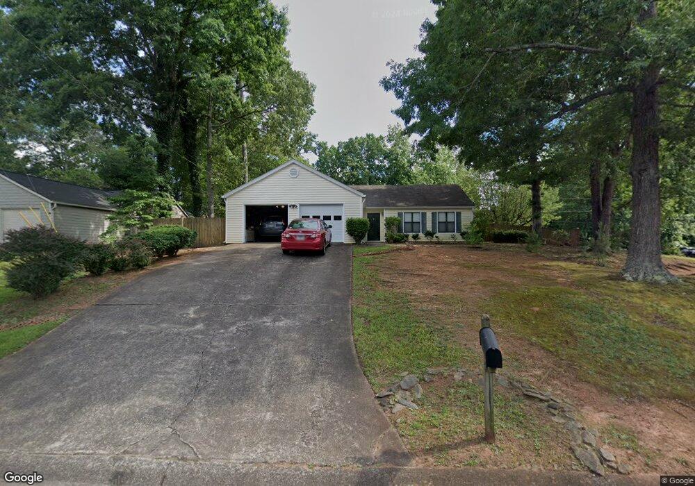
1506 River Rock Trace Unit 2 Woodstock, GA 30188
Union Hill NeighborhoodEstimated Value: $378,000 - $382,586
3
Beds
2
Baths
1,740
Sq Ft
$219/Sq Ft
Est. Value
About This Home
This home is located at 1506 River Rock Trace Unit 2, Woodstock, GA 30188 and is currently estimated at $380,293, approximately $218 per square foot. 1506 River Rock Trace Unit 2 is a home located in Cherokee County with nearby schools including Arnold Mill Elementary School, Mill Creek Middle School, and River Ridge High School.
Ownership History
Date
Name
Owned For
Owner Type
Purchase Details
Closed on
Jun 18, 1999
Sold by
Colburn Janice P
Bought by
Smith Leonard D and Smith Donna W
Current Estimated Value
Home Financials for this Owner
Home Financials are based on the most recent Mortgage that was taken out on this home.
Original Mortgage
$114,750
Outstanding Balance
$29,870
Interest Rate
7.13%
Mortgage Type
New Conventional
Estimated Equity
$350,423
Purchase Details
Closed on
Jun 15, 1995
Sold by
Cashell Michael Lisa
Bought by
Colburn Janice John
Create a Home Valuation Report for This Property
The Home Valuation Report is an in-depth analysis detailing your home's value as well as a comparison with similar homes in the area
Home Values in the Area
Average Home Value in this Area
Purchase History
| Date | Buyer | Sale Price | Title Company |
|---|---|---|---|
| Smith Leonard D | $116,500 | -- | |
| Colburn Janice John | $98,000 | -- |
Source: Public Records
Mortgage History
| Date | Status | Borrower | Loan Amount |
|---|---|---|---|
| Open | Smith Leonard D | $114,750 | |
| Closed | Colburn Janice John | $0 |
Source: Public Records
Tax History Compared to Growth
Tax History
| Year | Tax Paid | Tax Assessment Tax Assessment Total Assessment is a certain percentage of the fair market value that is determined by local assessors to be the total taxable value of land and additions on the property. | Land | Improvement |
|---|---|---|---|---|
| 2025 | $3,290 | $145,580 | $32,000 | $113,580 |
| 2024 | $3,057 | $133,940 | $30,400 | $103,540 |
| 2023 | $2,589 | $132,380 | $28,800 | $103,580 |
| 2022 | $2,875 | $123,660 | $23,600 | $100,060 |
| 2021 | $2,474 | $95,940 | $18,000 | $77,940 |
| 2020 | $2,213 | $84,592 | $14,000 | $70,592 |
| 2019 | $2,093 | $79,400 | $14,000 | $65,400 |
| 2018 | $1,906 | $70,960 | $14,000 | $56,960 |
| 2017 | $1,842 | $169,100 | $14,000 | $53,640 |
| 2016 | $1,696 | $151,700 | $12,400 | $48,280 |
| 2015 | $1,629 | $144,300 | $12,400 | $45,320 |
| 2014 | $1,478 | $131,200 | $11,600 | $40,880 |
Source: Public Records
Map
Nearby Homes
- 522 Watercress Dr
- 321 Burdock Trace
- 236 Persimmon Dr
- 624 Arnold Mill Rd
- 636 Arnold Mill Rd
- 632 Arnold Mill Rd
- 124 Riverside Ln
- 809 Araya Ct
- 414 Spring View Dr
- 202 Little River Way
- 114 Neetle Close Dr
- 116 Neetle Close Dr
- 154 Towey Trail
- 4006 N Arnold Mill Rd
- 4020 N Arnold Mill Rd
- 149 Stone Manor Ct
- 133 Finsbury Ln
- 436 Silver Brook Dr
- 202 Kigian Trail
- Dahlonega Elite Plan at Vista Ridge - The Meadows Collection
- 1508 River Rock Trace
- 1902 Grant Ln
- 1906 Grant Ln Unit 2
- 1510 River Rock Trace
- 1903 Grant Ln Unit 2
- 1900 Grant Ln
- 1901 Grant Ln
- 1507 River Rock Trace Unit 3
- 1905 Grant Ln Unit 2
- 833 Riverstone Ln Unit 2
- 831 Riverstone Ln
- 1512 River Rock Trace
- 1908 Grant Ln
- 1509 River Rock Trace Unit 3
- 829 Riverstone Ln
- 1502 River Rock Trace
- 835 Riverstone Ln
- 1907 Grant Ln
- 1005 Riverstone Ct
- 141 River Oaks Dr