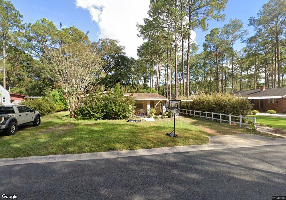
1506 Suwanee Dr Waycross, GA 31501
Estimated Value: $158,922 - $214,000
3
Beds
2
Baths
1,887
Sq Ft
$102/Sq Ft
Est. Value
About This Home
This home is located at 1506 Suwanee Dr, Waycross, GA 31501 and is currently estimated at $191,731, approximately $101 per square foot. 1506 Suwanee Dr is a home located in Ware County with nearby schools including Williams Heights Elementary School, Waycross Middle School, and Ware County High School.
Ownership History
Date
Name
Owned For
Owner Type
Purchase Details
Closed on
Oct 26, 2017
Sold by
Owens Robert E
Bought by
Owens Robert E and Owens Jordan A
Current Estimated Value
Purchase Details
Closed on
Mar 5, 2012
Sold by
Sutton Lonnie Harris
Bought by
Smith Billie Sue and Gattis Mary Frances
Purchase Details
Closed on
Mar 1, 2012
Sold by
Sutton William H
Bought by
Smith Billie Sue and Sutton Lonnie Harris
Purchase Details
Closed on
Sep 28, 1993
Bought by
Sutton Sutton W and Sutton Sue J
Purchase Details
Closed on
Jun 21, 1985
Purchase Details
Closed on
May 28, 1985
Create a Home Valuation Report for This Property
The Home Valuation Report is an in-depth analysis detailing your home's value as well as a comparison with similar homes in the area
Purchase History
| Date | Buyer | Sale Price | Title Company |
|---|---|---|---|
| Owens Robert E | -- | -- | |
| Owens Robert E | $92,000 | -- | |
| Smith Billie Sue | $10,000 | -- | |
| Smith Billie Sue | -- | -- | |
| Sutton Sutton W | $46,000 | -- | |
| -- | $33,900 | -- | |
| -- | $33,900 | -- |
Source: Public Records
Tax History
| Year | Tax Paid | Tax Assessment Tax Assessment Total Assessment is a certain percentage of the fair market value that is determined by local assessors to be the total taxable value of land and additions on the property. | Land | Improvement |
|---|---|---|---|---|
| 2025 | $2,076 | $60,827 | $5,040 | $55,787 |
| 2024 | $2,076 | $52,017 | $5,040 | $46,977 |
| 2023 | $2,009 | $50,415 | $2,659 | $47,756 |
| 2022 | $2,009 | $50,415 | $2,659 | $47,756 |
| 2021 | $1,692 | $39,138 | $2,659 | $36,479 |
| 2020 | $1,659 | $38,063 | $2,659 | $35,404 |
| 2019 | $1,350 | $30,536 | $2,659 | $27,877 |
| 2018 | $1,315 | $29,461 | $2,659 | $26,802 |
| 2017 | $97 | $29,461 | $2,659 | $26,802 |
Source: Public Records
Map
Nearby Homes
- 805 Baltimore Ave
- 713 Magnolia Dr
- 808 Euclid Ave
- 1205 Dean Dr
- 1100 Atlantic Ave
- 800 Euclid Ave
- 907 Euclid Ave
- 0 Saint Marys Dr Unit (TRACT 2 0.25 ACRES)
- 1009 Euclid Ave
- 1100 Euclid Ave
- 707 Euclid Ave
- 7438 Central Ave
- 1001 Coral Rd
- 1500 Saint Marys Dr
- 808 Satilla Blvd
- 1204 Richmond Ave
- 511 Richmond Ave
- 807 City Blvd
- 901 City Blvd
- 506 Magnolia Dr
- 1008 Suwanne Dr
- 1008 Suwanee Dr
- 902 Richmond Ave
- 1100 Suwanne Dr
- 810 Richmond Ave
- 1405 Suwanee Dr
- 1709 Suwanee Dr
- 1507 Suwanee Dr
- 1611 Suwanee Dr
- 1509 Suwanee Dr
- 00 Richmond Ave
- 00 Richmond Ave
- 901 Atlantic Ave
- 1101 Suwanne Dr
- 809 Atlantic Ave
- 903 Atlantic Ave
- 907 Richmond Ave
- 906 Richmond Ave
- 1101 Suwanne Dr
- 1108 Suwanne Dr