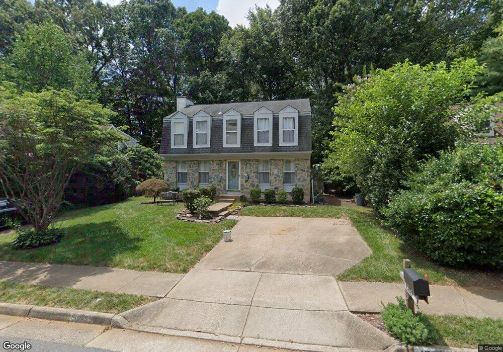
15065 Holleyside Dr Dumfries, VA 22025
Estimated Value: $516,000 - $548,000
3
Beds
3
Baths
1,536
Sq Ft
$346/Sq Ft
Est. Value
About This Home
This home is located at 15065 Holleyside Dr, Dumfries, VA 22025 and is currently estimated at $531,021, approximately $345 per square foot. 15065 Holleyside Dr is a home located in Prince William County with nearby schools including Montclair Elementary School, Herbert J. Saunders Middle School, and Forest Park High School.
Ownership History
Date
Name
Owned For
Owner Type
Purchase Details
Closed on
Apr 25, 1994
Sold by
Sec Vet Affr
Bought by
Douglas Robert A
Current Estimated Value
Home Financials for this Owner
Home Financials are based on the most recent Mortgage that was taken out on this home.
Original Mortgage
$147,600
Interest Rate
7.6%
Purchase Details
Closed on
Nov 10, 1993
Sold by
Mccrary R W
Bought by
Sec Vet Affr
Create a Home Valuation Report for This Property
The Home Valuation Report is an in-depth analysis detailing your home's value as well as a comparison with similar homes in the area
Home Values in the Area
Average Home Value in this Area
Purchase History
| Date | Buyer | Sale Price | Title Company |
|---|---|---|---|
| Douglas Robert A | $149,600 | -- | |
| Sec Vet Affr | $128,760 | -- |
Source: Public Records
Mortgage History
| Date | Status | Borrower | Loan Amount |
|---|---|---|---|
| Closed | Sec Vet Affr | $147,600 |
Source: Public Records
Tax History
| Year | Tax Paid | Tax Assessment Tax Assessment Total Assessment is a certain percentage of the fair market value that is determined by local assessors to be the total taxable value of land and additions on the property. | Land | Improvement |
|---|---|---|---|---|
| 2025 | $4,487 | $482,500 | $217,000 | $265,500 |
| 2024 | $4,487 | $451,200 | $202,600 | $248,600 |
| 2023 | $4,408 | $423,600 | $189,200 | $234,400 |
| 2022 | $4,604 | $405,400 | $180,000 | $225,400 |
| 2021 | $4,527 | $368,900 | $163,300 | $205,600 |
| 2020 | $5,382 | $347,200 | $153,900 | $193,300 |
| 2019 | $5,248 | $338,600 | $149,200 | $189,400 |
| 2018 | $3,909 | $323,700 | $143,400 | $180,300 |
| 2017 | $3,847 | $309,700 | $136,400 | $173,300 |
| 2016 | $3,757 | $305,200 | $133,600 | $171,600 |
| 2015 | $3,670 | $302,200 | $131,500 | $170,700 |
| 2014 | $3,670 | $291,700 | $126,300 | $165,400 |
Source: Public Records
Map
Nearby Homes
- 15076 Maple Glen Ct
- 4888 Sugar Maple Ln
- 15057 Mill Spring Dr
- 5094 Leatherback Rd
- 4566 Rincon Place
- 4482 Edsall Dr
- 15327 Inlet Place
- 15318 Inlet Place
- 15343 Inlet Place
- 4635 Holleyside Ct
- 15204 Chula Place
- 14756 Statler Dr
- 15045 Galapagos Place
- 4504 Blue Jay Ct
- 15086 Jarrell Place
- 4506 Evansdale Rd
- 15310 Iris Ln
- 15500 Laurel Ridge Rd
- 5431 Bantry Ct
- 15111 Knickerbocker Dr
- 15063 Holleyside Dr
- 15067 Holleyside Dr
- 15061 Holleyside Dr
- 15069 Holleyside Dr
- 15057 Holleyside Dr
- 15072 Holleyside Dr
- 15074 Holleyside Dr
- 15071 Holleyside Dr
- 15070 Holleyside Dr
- 15076 Holleyside Dr
- 15055 Holleyside Dr
- 15078 Holleyside Dr
- 15073 Holleyside Dr
- 15020 Wintercress Ct
- 15068 Holleyside Dr
- 15022 Wintercress Ct
- 15053 Holleyside Dr
- 15016 Oak Crest Ct
- 15018 Oak Crest Ct
- 15014 Oak Crest Ct
Your Personal Tour Guide
Ask me questions while you tour the home.