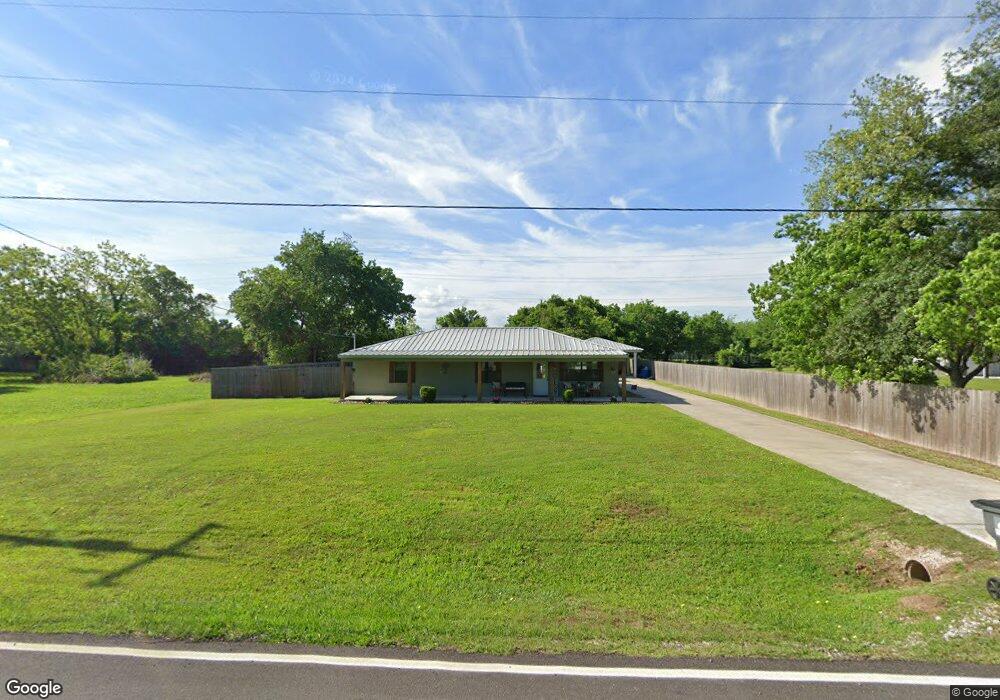
1507 Cr 797 Brazoria, TX 77422
Estimated Value: $181,340 - $211,000
2
Beds
2
Baths
1,224
Sq Ft
$163/Sq Ft
Est. Value
About This Home
This home is located at 1507 Cr 797, Brazoria, TX 77422 and is currently estimated at $199,835, approximately $163 per square foot. 1507 Cr 797 is a home located in Brazoria County.
Ownership History
Date
Name
Owned For
Owner Type
Purchase Details
Closed on
Jan 12, 2018
Sold by
Don Simpson Properties Kkc
Bought by
Doughty Kristy W and Price Carl Raymond
Current Estimated Value
Home Financials for this Owner
Home Financials are based on the most recent Mortgage that was taken out on this home.
Original Mortgage
$197,500
Outstanding Balance
$166,496
Interest Rate
3.9%
Mortgage Type
Purchase Money Mortgage
Estimated Equity
$33,339
Purchase Details
Closed on
Jun 7, 2016
Sold by
Jacobs Tina
Bought by
Don Simpson Properties Llc
Purchase Details
Closed on
Sep 5, 2008
Sold by
Hope Mary
Bought by
Simpson Donald L
Create a Home Valuation Report for This Property
The Home Valuation Report is an in-depth analysis detailing your home's value as well as a comparison with similar homes in the area
Home Values in the Area
Average Home Value in this Area
Purchase History
| Date | Buyer | Sale Price | Title Company |
|---|---|---|---|
| Doughty Kristy W | -- | None Available | |
| Don Simpson Properties Llc | -- | None Available | |
| Simpson Donald L | -- | American Title Company |
Source: Public Records
Mortgage History
| Date | Status | Borrower | Loan Amount |
|---|---|---|---|
| Open | Doughty Kristy W | $197,500 |
Source: Public Records
Tax History Compared to Growth
Tax History
| Year | Tax Paid | Tax Assessment Tax Assessment Total Assessment is a certain percentage of the fair market value that is determined by local assessors to be the total taxable value of land and additions on the property. | Land | Improvement |
|---|---|---|---|---|
| 2025 | $282 | $159,050 | $18,180 | $140,870 |
| 2023 | $282 | $145,167 | $13,640 | $142,570 |
| 2022 | $2,083 | $131,970 | $8,180 | $123,790 |
| 2021 | $2,132 | $127,180 | $6,820 | $120,360 |
| 2020 | $2,212 | $127,180 | $6,820 | $120,360 |
| 2019 | $2,053 | $112,130 | $5,940 | $106,190 |
| 2018 | $2,069 | $112,130 | $5,940 | $106,190 |
| 2017 | $1,997 | $107,150 | $5,940 | $101,210 |
| 2016 | $1,487 | $95,390 | $5,940 | $89,450 |
| 2015 | $908 | $72,730 | $4,950 | $67,780 |
| 2014 | $908 | $65,930 | $4,950 | $60,980 |
Source: Public Records
Map
Nearby Homes
- 2082 Fm 521 Rd
- 1970 Fm 521 Rd
- 1561 County Road 797
- 2560 Cr-769c
- 2541 Cr 769c
- 3006 Fm 521 Rd
- 229 Yaupon Dr
- 523 Lazy Ln
- 307 Avenue G
- 0 Pecan Dr
- 0 County Road 520 Unit 11272899
- 232 Magnolia St
- 1208 S Brooks St
- 34654 Fm 521 Rd
- 8922 Fm 521 Rd
- 133 Country Oaks St
- 409 Carlton St
- 1093 River Oaks Dr
- 230 E New York St
- 108 Country Oaks St
- 1507 County Road 797
- 1506 County Road 797
- 1510 Cr 797
- 1515 County Road 797
- 1510 County Road 797
- 1504 County Road 797
- 1512 County Road 797
- 2031 Fm 521 Rd
- 1516 Cr 797
- 1516 County Road 797
- 2112 Fm 521 Rd
- 1976 Fm 521 Rd
- 1518 County Road 797
- 2184 Fm 521 Rd
- 1562 County Road 797
- 1569 County Road 797
- 1570 County Road 797
- 1577 County Road 797
- 2062 County Road 315
- 2138 County Road 315