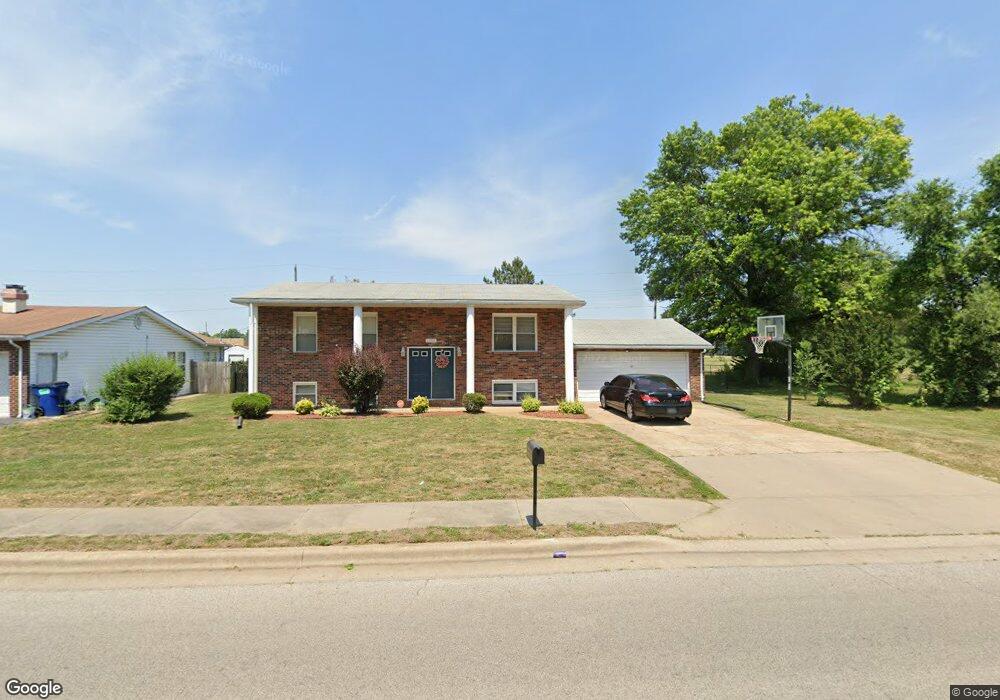
1507 Doris Ave East Saint Louis, IL 62206
Estimated Value: $100,000 - $160,848
--
Bed
--
Bath
1,040
Sq Ft
$124/Sq Ft
Est. Value
About This Home
This home is located at 1507 Doris Ave, East Saint Louis, IL 62206 and is currently estimated at $128,462, approximately $123 per square foot. 1507 Doris Ave is a home located in St. Clair County.
Ownership History
Date
Name
Owned For
Owner Type
Purchase Details
Closed on
Dec 28, 2007
Sold by
Hairston Bessie
Bought by
Hall Pari L
Current Estimated Value
Home Financials for this Owner
Home Financials are based on the most recent Mortgage that was taken out on this home.
Original Mortgage
$89,000
Outstanding Balance
$56,500
Interest Rate
6.27%
Mortgage Type
Purchase Money Mortgage
Estimated Equity
$71,962
Purchase Details
Closed on
Apr 29, 2004
Sold by
Veliz Miguel A and Veliz Cynthia A
Bought by
Hairston Bessie
Home Financials for this Owner
Home Financials are based on the most recent Mortgage that was taken out on this home.
Original Mortgage
$80,000
Interest Rate
3.37%
Mortgage Type
Purchase Money Mortgage
Create a Home Valuation Report for This Property
The Home Valuation Report is an in-depth analysis detailing your home's value as well as a comparison with similar homes in the area
Home Values in the Area
Average Home Value in this Area
Purchase History
| Date | Buyer | Sale Price | Title Company |
|---|---|---|---|
| Hall Pari L | $89,000 | Allegiant Title Company | |
| Hairston Bessie | $110,000 | Benedick Title Ins |
Source: Public Records
Mortgage History
| Date | Status | Borrower | Loan Amount |
|---|---|---|---|
| Open | Hall Pari L | $89,000 | |
| Previous Owner | Hairston Bessie | $80,000 |
Source: Public Records
Tax History Compared to Growth
Tax History
| Year | Tax Paid | Tax Assessment Tax Assessment Total Assessment is a certain percentage of the fair market value that is determined by local assessors to be the total taxable value of land and additions on the property. | Land | Improvement |
|---|---|---|---|---|
| 2024 | $2,307 | $18,128 | $462 | $17,666 |
| 2023 | $1,988 | $16,385 | $418 | $15,967 |
| 2022 | $2,077 | $14,360 | $366 | $13,994 |
| 2021 | $2,247 | $13,608 | $347 | $13,261 |
| 2020 | $2,439 | $13,293 | $364 | $12,929 |
| 2019 | $2,442 | $13,293 | $364 | $12,929 |
| 2018 | $2,395 | $13,487 | $369 | $13,118 |
| 2017 | $2,413 | $13,161 | $360 | $12,801 |
| 2016 | $2,426 | $10,930 | $359 | $10,571 |
| 2014 | $2,140 | $10,811 | $355 | $10,456 |
| 2013 | $2,938 | $10,141 | $333 | $9,808 |
Source: Public Records
Map
Nearby Homes
- 913 Joliet Dr Unit 1
- 1713 Loretta Ave
- 1128 Saint Benedict Dr
- 1326 Saint Zita Ln
- 1307 Saint Zita Ln
- 1106 Saint Boniface Dr
- 1132 St Stephen’s
- 1426 Richard Dr
- 1125 Saint Boniface Dr
- 825 Mildred Ave
- 1120 Saint Michael Dr
- 1103 Saint Helena Dr
- 815 Sparks Ave
- 821 Howell Ave
- 794 Mildred Ave
- 404 Range Ln
- 801 Preston Ln
- 779 Mildred Ave Unit Front and Rear house
- 804 Otto St
- 768 Leon St