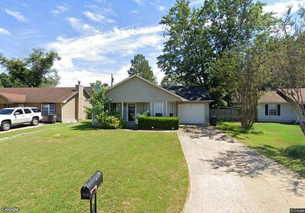
1507 Gail Ct Jacksonville, AR 72076
Estimated Value: $140,057 - $157,000
--
Bed
3
Baths
1,156
Sq Ft
$129/Sq Ft
Est. Value
About This Home
This home is located at 1507 Gail Ct, Jacksonville, AR 72076 and is currently estimated at $148,764, approximately $128 per square foot. 1507 Gail Ct is a home located in Pulaski County with nearby schools including Jacksonville Elementary School, Jacksonville Middle School, and Jacksonville High School.
Ownership History
Date
Name
Owned For
Owner Type
Purchase Details
Closed on
Mar 10, 2021
Sold by
Hat Properties Llc
Bought by
Sullivan Ashley and Norris Michael
Current Estimated Value
Home Financials for this Owner
Home Financials are based on the most recent Mortgage that was taken out on this home.
Original Mortgage
$115,371
Outstanding Balance
$103,187
Interest Rate
2.7%
Mortgage Type
FHA
Estimated Equity
$45,577
Purchase Details
Closed on
Sep 22, 2020
Sold by
Brown Courtney V and Brown Henri Etta
Bought by
Hat Properties Llc
Home Financials for this Owner
Home Financials are based on the most recent Mortgage that was taken out on this home.
Original Mortgage
$73,982
Interest Rate
2.9%
Mortgage Type
Construction
Purchase Details
Closed on
Nov 20, 1987
Bought by
Brown Courtney and Henri Etta
Create a Home Valuation Report for This Property
The Home Valuation Report is an in-depth analysis detailing your home's value as well as a comparison with similar homes in the area
Home Values in the Area
Average Home Value in this Area
Purchase History
| Date | Buyer | Sale Price | Title Company |
|---|---|---|---|
| Sullivan Ashley | $117,500 | Pulaski County Title | |
| Hat Properties Llc | $50,000 | Pulaski County Title | |
| Brown Courtney | $60,000 | -- |
Source: Public Records
Mortgage History
| Date | Status | Borrower | Loan Amount |
|---|---|---|---|
| Open | Sullivan Ashley | $115,371 | |
| Previous Owner | Hat Properties Llc | $73,982 |
Source: Public Records
Tax History Compared to Growth
Tax History
| Year | Tax Paid | Tax Assessment Tax Assessment Total Assessment is a certain percentage of the fair market value that is determined by local assessors to be the total taxable value of land and additions on the property. | Land | Improvement |
|---|---|---|---|---|
| 2025 | $1,264 | $20,587 | $1,200 | $19,387 |
| 2024 | $1,108 | $20,587 | $1,200 | $19,387 |
| 2023 | $1,108 | $20,587 | $1,200 | $19,387 |
| 2022 | $1,264 | $20,587 | $1,200 | $19,387 |
| 2021 | $834 | $13,580 | $1,400 | $12,180 |
| 2020 | $834 | $13,580 | $1,400 | $12,180 |
| 2019 | $834 | $13,580 | $1,400 | $12,180 |
| 2018 | $834 | $13,580 | $1,400 | $12,180 |
| 2017 | $834 | $13,580 | $1,400 | $12,180 |
| 2016 | $1,072 | $17,460 | $4,000 | $13,460 |
| 2015 | $939 | $17,460 | $4,000 | $13,460 |
| 2014 | $939 | $17,460 | $4,000 | $13,460 |
Source: Public Records
Map
Nearby Homes
- 26 Wright Cir
- 1235 Wright St
- 1401 Tamara Park
- 32 Ross Cir
- 600 Sorrells Dr
- 1110 Wright St
- 203 Northeastern Ave
- 203 Boston St
- 0 S J P Wright Loop Rd
- 720 Southeastern Ave
- 202 Spruce St
- 221 Pearl St
- 217 Heritage St
- 308 Bellevue A-B Cir
- 114 North Ave
- 1302 King St
- 205 Laurel St
- 419 Church St
- 134 Pike Ave
- 910 Ray Rd