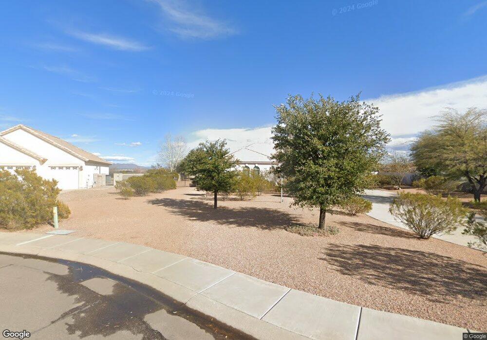
1507 S Mockingbird Loop Thatcher, AZ 85552
Estimated Value: $532,000 - $667,000
Studio
--
Bath
3,189
Sq Ft
$184/Sq Ft
Est. Value
About This Home
This home is located at 1507 S Mockingbird Loop, Thatcher, AZ 85552 and is currently estimated at $585,761, approximately $183 per square foot. 1507 S Mockingbird Loop is a home located in Graham County with nearby schools including Jack Daley Primary School, Thatcher Elementary School, and Thatcher Middle School.
Ownership History
Date
Name
Owned For
Owner Type
Purchase Details
Closed on
May 27, 2021
Sold by
Johnson Rebecca Rae
Bought by
Johnson Rebecca Rae and Hatahway Jamie Kays
Current Estimated Value
Purchase Details
Closed on
Mar 1, 2012
Sold by
Martin John W
Bought by
Johnson Thomas K and Johnson Rebecca Rae
Purchase Details
Closed on
Oct 17, 2008
Sold by
Mitchell James E
Bought by
Mitchell James E and James E Mitchell Trust
Purchase Details
Closed on
Sep 3, 2008
Sold by
Quail Ridge Construction Co Inc
Bought by
Mitchell James E
Create a Home Valuation Report for This Property
The Home Valuation Report is an in-depth analysis detailing your home's value as well as a comparison with similar homes in the area
Home Values in the Area
Average Home Value in this Area
Purchase History
| Date | Buyer | Sale Price | Title Company |
|---|---|---|---|
| Johnson Rebecca Rae | -- | None Available | |
| Johnson Thomas K | -- | Pioneer Title Agency | |
| Mitchell James E | -- | None Available | |
| Mitchell James E | $714,696 | Pioneer Title Agency | |
| Quail Ridge Construction Co Inc | -- | Pioneer Title Agency |
Source: Public Records
Tax History
| Year | Tax Paid | Tax Assessment Tax Assessment Total Assessment is a certain percentage of the fair market value that is determined by local assessors to be the total taxable value of land and additions on the property. | Land | Improvement |
|---|---|---|---|---|
| 2026 | $2,250 | -- | -- | -- |
| 2025 | $2,250 | $42,878 | $3,964 | $38,914 |
| 2024 | $2,215 | $43,490 | $3,964 | $39,526 |
| 2023 | $2,215 | $37,524 | $3,964 | $33,560 |
| 2022 | $2,171 | $31,535 | $3,964 | $27,571 |
| 2021 | $2,484 | $0 | $0 | $0 |
| 2020 | $3,146 | $0 | $0 | $0 |
| 2019 | $3,259 | $0 | $0 | $0 |
| 2018 | $3,146 | $0 | $0 | $0 |
| 2017 | $2,913 | $0 | $0 | $0 |
| 2016 | $2,921 | $0 | $0 | $0 |
| 2015 | $2,683 | $0 | $0 | $0 |
Source: Public Records
Map
Nearby Homes
- 1551 S Mockingbird Loop
- 1507 S Pheasant Ln
- 1472 S Roadrunner Ln
- 5052 S 20th Ave
- 849 S Lucille
- 2972 W Michaud Ln
- 0 S 20th Ave Unit no
- 1385 S Meadow Ln
- 3140 W 8th St
- 1601 W 14th Dr
- 1879 W Peppertree Dr Unit C12
- 487 S Dusty Trail
- 1630 W Cobblestone Dr
- 1292 W Relation St
- 2902 W Johnny Dr
- 2890 W Johnny Dr
- 2901 Eagle Dr
- 2890 Eagle Dr
- 2914 Eagle Dr
- 2926 Eagle Dr
- 2656 W Mockingbird Loop
- 1527 S Mockingbird Loop
- 1545 S Mockingbird Loop
- 2618 W Dove Ln
- 2630 W Dove Ln
- 2642 W Dove Ln
- 2656 W Dove Ln
- 2708 W Mockingbird Loop
- 2598 W Dove Ln
- 2720 W Mockingbird Loop
- 2625 W Relation St
- 2708 W Dove Ln
- 2641 W Dove Ln
- 2649 W Dove Ln
- 2631 W Dove Ln
- 2655 W Dove Ln
- 2625 W Dove Ln
- 2720 W Dove Ln
- 2597 W Dove Ln
- 2691 W Dove Ln
Your Personal Tour Guide
Ask me questions while you tour the home.