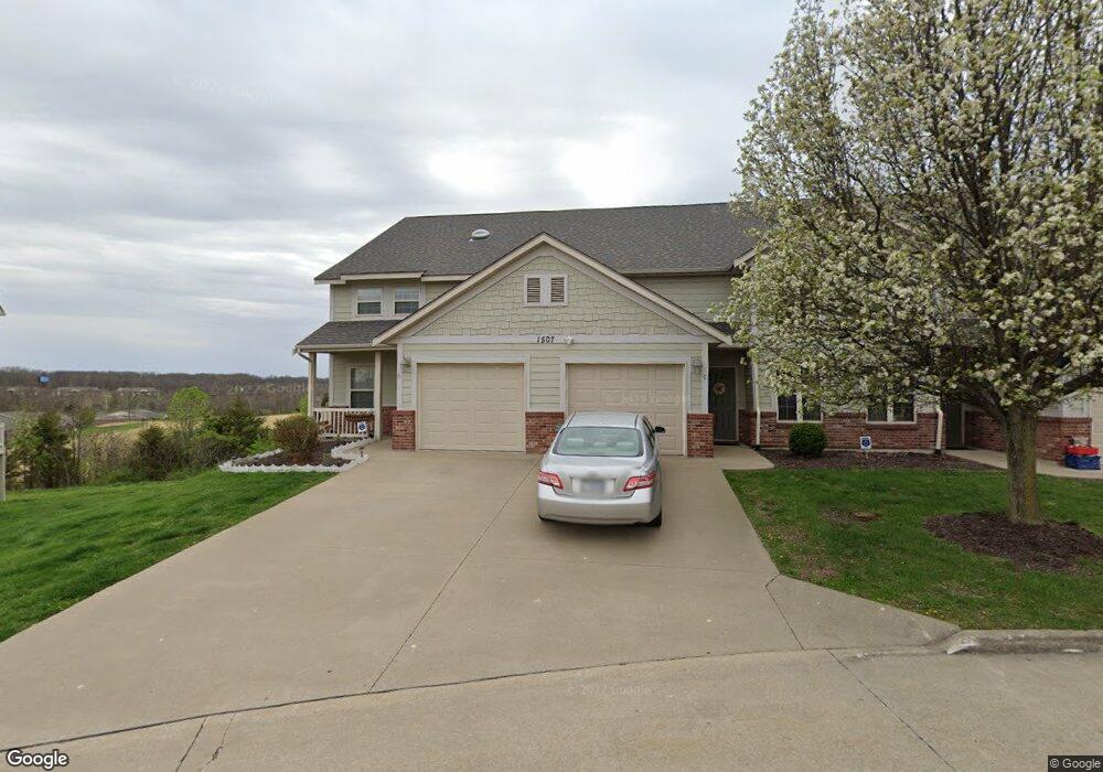
1507 Spiros Dr Unit D Columbia, MO 65202
Hominy Branch NeighborhoodEstimated Value: $215,000 - $228,000
4
Beds
3
Baths
2,100
Sq Ft
$106/Sq Ft
Est. Value
About This Home
This home is located at 1507 Spiros Dr Unit D, Columbia, MO 65202 and is currently estimated at $222,535, approximately $105 per square foot. 1507 Spiros Dr Unit D is a home located in Boone County with nearby schools including Eliot Battle Elementary School, John B. Lange Middle School, and Muriel W. Battle High School.
Ownership History
Date
Name
Owned For
Owner Type
Purchase Details
Closed on
Jul 20, 2020
Sold by
Harrison Bruce
Bought by
Vasquez Andre Diego
Current Estimated Value
Home Financials for this Owner
Home Financials are based on the most recent Mortgage that was taken out on this home.
Original Mortgage
$121,600
Outstanding Balance
$107,174
Interest Rate
2.9%
Mortgage Type
Credit Line Revolving
Estimated Equity
$115,361
Purchase Details
Closed on
Aug 17, 2018
Sold by
Grantwood Village Llc
Bought by
Harrison Bruce
Create a Home Valuation Report for This Property
The Home Valuation Report is an in-depth analysis detailing your home's value as well as a comparison with similar homes in the area
Home Values in the Area
Average Home Value in this Area
Purchase History
| Date | Buyer | Sale Price | Title Company |
|---|---|---|---|
| Vasquez Andre Diego | -- | None Available | |
| Harrison Bruce | -- | Boone Central Title Co |
Source: Public Records
Mortgage History
| Date | Status | Borrower | Loan Amount |
|---|---|---|---|
| Open | Vasquez Andre Diego | $121,600 |
Source: Public Records
Tax History Compared to Growth
Tax History
| Year | Tax Paid | Tax Assessment Tax Assessment Total Assessment is a certain percentage of the fair market value that is determined by local assessors to be the total taxable value of land and additions on the property. | Land | Improvement |
|---|---|---|---|---|
| 2025 | $1,912 | $29,203 | $1,140 | $28,063 |
| 2024 | $1,720 | $25,498 | $1,140 | $24,358 |
| 2023 | $1,706 | $25,498 | $1,140 | $24,358 |
| 2022 | $1,638 | $24,510 | $1,140 | $23,370 |
| 2021 | $1,641 | $24,510 | $1,140 | $23,370 |
| 2020 | $1,747 | $24,510 | $1,140 | $23,370 |
| 2019 | $1,747 | $24,510 | $1,140 | $23,370 |
| 2018 | $1,151 | $0 | $0 | $0 |
Source: Public Records
Map
Nearby Homes
- 4802 Lillian Dr
- 4801 Orchard Ln
- 1804 Kassem Dr
- 4412 Robert Ray Ct
- 4201 Clark Ln Unit 3
- 4201 Clark Ln Unit 16
- 4201 Clark Ln Unit 14
- 4201 Clark Ln Unit 11
- 4201 Clark Ln Unit 72
- 4201 Clark Ln Unit 15
- 5301 Gasconade Dr
- 4104 Lamp Ln
- 1877 Waterfront Dr N Unit H
- 1879 Waterfront Dr N Unit F
- 4601 Maple Leaf Dr
- 4903 Murrell Dr
- 4617-4619 Pierre St
- 1409 Hickam Dr Unit 1411
- 2616 Frazier Loop
- 2625 Frazier
- 1507 Spiros Dr
- 1507 Spiros Dr Unit A
- 1507 Spiros Dr Unit B
- 1507 Spiros Dr Unit A
- 1507 Spiros Dr Unit C
- 1507 Spiros Dr Unit D
- 1505 Spiros Dr
- 1505 Spiros Dr Unit D
- 1505 Spiros Dr Unit A
- 1505 Spiros Dr Unit B
- 1509 Spiros Dr Unit C
- 1509 Spiros Dr Unit C
- 1509 Spiros Dr Unit A
- 1509 Spiros Dr Unit B
- 1503 Spiros Dr
- 1503 Spiros Dr Unit C
- 1503 Spiros Dr Unit A
- 1503 Spiros Dr Unit D
- 1503 Spiros Dr Unit B
- 1511 Spiros Dr