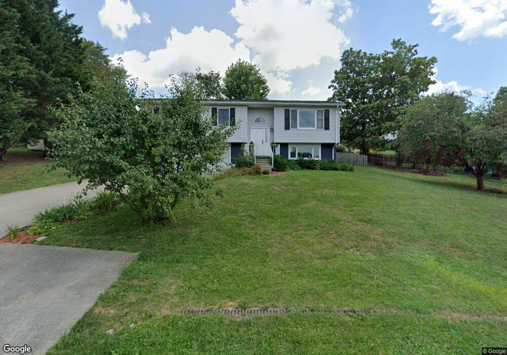
1507 Westbrook Dr Morgantown, WV 26508
Brookhaven NeighborhoodEstimated Value: $294,000 - $350,000
3
Beds
3
Baths
1,666
Sq Ft
$189/Sq Ft
Est. Value
About This Home
This home is located at 1507 Westbrook Dr, Morgantown, WV 26508 and is currently estimated at $314,691, approximately $188 per square foot. 1507 Westbrook Dr is a home located in Monongalia County with nearby schools including Brookhaven Elementary School, South Middle School, and Morgantown High School.
Ownership History
Date
Name
Owned For
Owner Type
Purchase Details
Closed on
Jul 8, 2021
Sold by
Mastrogiuseppe Agostino David
Bought by
Leslie Amanda
Current Estimated Value
Purchase Details
Closed on
Oct 23, 2018
Sold by
Sickles Zachary R and Sickles Ashley E
Bought by
Leslie Daniel T and Leslie Amanda K
Home Financials for this Owner
Home Financials are based on the most recent Mortgage that was taken out on this home.
Original Mortgage
$208,050
Interest Rate
4.7%
Mortgage Type
New Conventional
Purchase Details
Closed on
Nov 24, 2014
Sold by
Flanigan James L and Flanigan Robin Denise
Bought by
Brown Enterprises Llc
Create a Home Valuation Report for This Property
The Home Valuation Report is an in-depth analysis detailing your home's value as well as a comparison with similar homes in the area
Home Values in the Area
Average Home Value in this Area
Purchase History
| Date | Buyer | Sale Price | Title Company |
|---|---|---|---|
| Leslie Amanda | -- | -- | |
| Leslie Daniel T | $219,000 | None Available | |
| Brown Enterprises Llc | $105,000 | None Available |
Source: Public Records
Mortgage History
| Date | Status | Borrower | Loan Amount |
|---|---|---|---|
| Previous Owner | Leslie Daniel T | $208,050 |
Source: Public Records
Tax History Compared to Growth
Tax History
| Year | Tax Paid | Tax Assessment Tax Assessment Total Assessment is a certain percentage of the fair market value that is determined by local assessors to be the total taxable value of land and additions on the property. | Land | Improvement |
|---|---|---|---|---|
| 2024 | $1,333 | $119,840 | $36,680 | $83,160 |
| 2023 | $1,277 | $119,840 | $36,680 | $83,160 |
| 2022 | $1,222 | $119,240 | $36,680 | $82,560 |
| 2021 | $1,182 | $114,800 | $36,680 | $78,120 |
| 2020 | $1,188 | $114,800 | $36,680 | $78,120 |
| 2019 | $1,205 | $115,700 | $36,680 | $79,020 |
| 2018 | $1,209 | $115,700 | $36,680 | $79,020 |
| 2017 | $1,203 | $114,500 | $34,580 | $79,920 |
| 2016 | $1,182 | $111,780 | $31,860 | $79,920 |
| 2015 | $1,116 | $110,340 | $29,520 | $80,820 |
| 2014 | $995 | $103,200 | $27,180 | $76,020 |
Source: Public Records
Map
Nearby Homes
- 304 Salonika Dr
- B7-R Meadowland Dr
- B-5R Meadowland Dr
- N-2 Lemley St
- N-1 Lemley St
- 142 Vecchio Ln
- 205 Pixler Hill Rd
- Lot 6 Ices Ferry Estates
- 36 Dellslow Ln
- 000 Bowers Ln
- 3110 Sylvan Dr
- 116 Corkrean Way
- 118 Park Place Dr
- 374 Brookhaven Rd
- 9 Townsend Ln
- Lot 8 Brookdale Dr
- Lot 6 Brookdale Dr
- 210 Josephine Dr
- Lot 17 Brookdale Dr
- 207 Josephine Dr
- 1507 Westbrook Dr
- 1412 Brockton Dr
- 1505 Westbrook Dr
- 1414 Brockton Dr
- 1508 Westbrook Dr
- 1510 Westbrook Dr
- 1410 Brockton Dr
- 1416 Brockton Dr
- 1511 Westbrook Dr
- 1506 Westbrook Dr
- 1512 Westbrook Dr
- 1417 Brockton Dr
- 1415 Brockton Dr
- 1513 Westbrook Dr
- 1513 Westbrook Dr
- 1419 Brockton Dr
- 1413 Brockton Dr
- 1364 Brookhaven Rd
- 1514 Westbrook Dr
- 1408 Brockton Dr