1507 Wildcat Dr Murphy, NC 28906
Estimated Value: $430,000 - $471,000
2
Beds
3
Baths
2,428
Sq Ft
$183/Sq Ft
Est. Value
About This Home
This home is located at 1507 Wildcat Dr, Murphy, NC 28906 and is currently estimated at $444,284, approximately $182 per square foot. 1507 Wildcat Dr is a home located in Cherokee County with nearby schools including Murphy Elementary School, Murphy Middle School, and Murphy High School.
Ownership History
Date
Name
Owned For
Owner Type
Purchase Details
Closed on
Feb 25, 2022
Sold by
Nihat Akpinar
Bought by
Cook Suzanne
Current Estimated Value
Home Financials for this Owner
Home Financials are based on the most recent Mortgage that was taken out on this home.
Original Mortgage
$288,000
Outstanding Balance
$267,879
Interest Rate
3.69%
Mortgage Type
New Conventional
Estimated Equity
$176,405
Purchase Details
Closed on
Jun 1, 2001
Bought by
Akpinar Nihat
Create a Home Valuation Report for This Property
The Home Valuation Report is an in-depth analysis detailing your home's value as well as a comparison with similar homes in the area
Home Values in the Area
Average Home Value in this Area
Purchase History
| Date | Buyer | Sale Price | Title Company |
|---|---|---|---|
| Cook Suzanne | $360,000 | Cowan & Cowan Pa | |
| Akpinar Nihat | $34,000 | -- |
Source: Public Records
Mortgage History
| Date | Status | Borrower | Loan Amount |
|---|---|---|---|
| Open | Cook Suzanne | $288,000 |
Source: Public Records
Tax History
| Year | Tax Paid | Tax Assessment Tax Assessment Total Assessment is a certain percentage of the fair market value that is determined by local assessors to be the total taxable value of land and additions on the property. | Land | Improvement |
|---|---|---|---|---|
| 2025 | $1,720 | $253,900 | $0 | $0 |
| 2024 | $17 | $253,900 | $0 | $0 |
| 2023 | $1,710 | $253,900 | $0 | $0 |
| 2022 | $1,710 | $253,900 | $0 | $0 |
| 2021 | $1,393 | $246,840 | $45,000 | $201,840 |
| 2020 | $1,294 | $246,840 | $0 | $0 |
| 2019 | $1,202 | $202,020 | $0 | $0 |
| 2018 | $1,202 | $202,020 | $0 | $0 |
| 2017 | $1,234 | $207,760 | $0 | $0 |
| 2016 | $1,234 | $207,760 | $0 | $0 |
| 2015 | $1,234 | $207,760 | $45,720 | $162,040 |
| 2012 | -- | $207,760 | $45,720 | $162,040 |
Source: Public Records
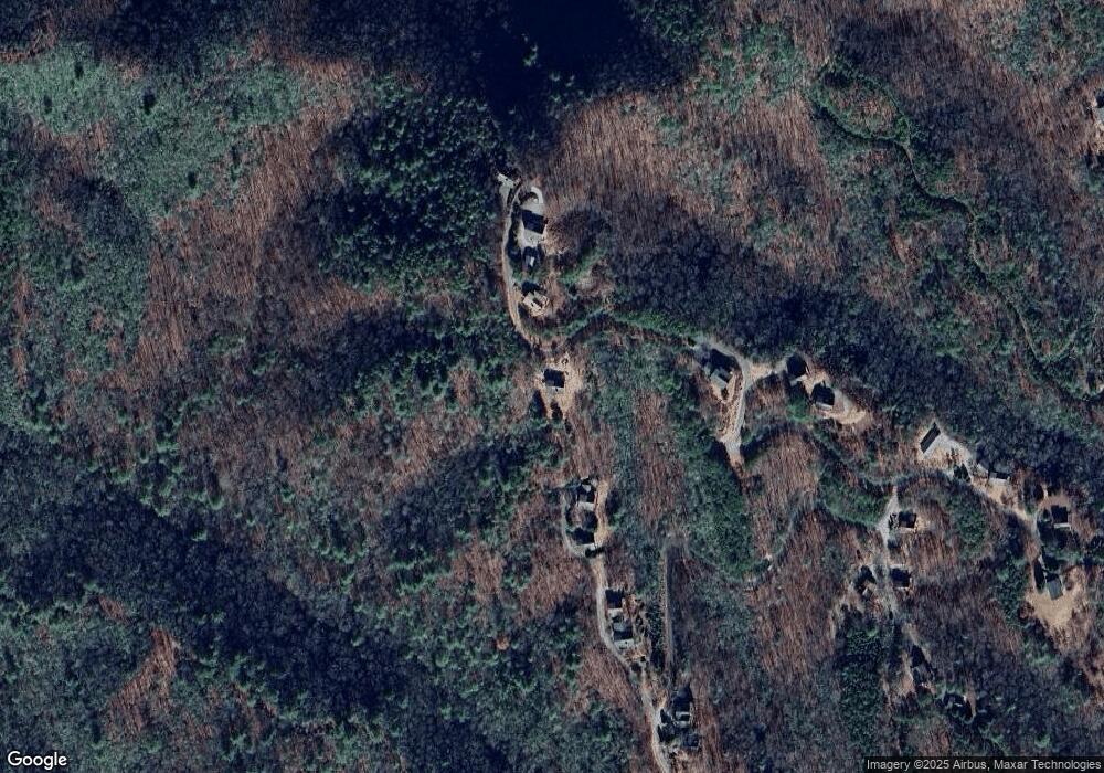
Map
Nearby Homes
- 293 Alto Vista Rd
- 293 Alto Vista Rd
- 39 Red Bud Ln
- Lot 12 Kaitlan Ln
- 95 Laurel Cove Terrace
- Lot 54 Somerset Ridge Dr
- 96 Holiday Dr
- 0 Stonebrook Dr
- 0 Trillium Trail
- 000 Trillium Trail
- Lot 40 Eagles Landing
- LT 35 Crested Eagle Ln
- Lot 10 Holly Hill Ridge
- Lot 14 Patriot Ridge
- 0 Patriot Ridge
- 12-4 Cardinal Rd
- 159 Patriot Ridge
- 16 Beal Cir
- 0 Skyview Acres Dr Unit 153407
- 0 Skyview Acres Dr Unit 417622
- 1508 Wildcat Dr
- 134 Longview Dr
- 1600 Wildcat Dr
- 96 Longview Dr
- 1367 Wildcat Dr
- 1367 Wildcat Dr Unit 82
- 1543 Wildcat Dr
- 80 Longview Dr
- n/a Longview Dr
- 137 Longview Dr
- #137 Longview Dr
- 1324 Wildcat Dr
- 36 Longview Dr
- 1244 Wildcat Dr
- 127 Alto Vista Rd
- 00 Alto Vista Rd
- Lot 131 Alto Vista Rd
- L-125 Alto Vista Rd
- 0 Alto Vista Rd
- 223 Alto Vista Rd
Your Personal Tour Guide
Ask me questions while you tour the home.