15071 Hyatt Rd Mount Vernon, OH 43050
Estimated Value: $364,000 - $567,972
3
Beds
3
Baths
2,426
Sq Ft
$186/Sq Ft
Est. Value
About This Home
This home is located at 15071 Hyatt Rd, Mount Vernon, OH 43050 and is currently estimated at $450,993, approximately $185 per square foot. 15071 Hyatt Rd is a home located in Knox County with nearby schools including Fredericktown Elementary School, Fredericktown Middle School, and Fredericktown High School.
Ownership History
Date
Name
Owned For
Owner Type
Purchase Details
Closed on
Mar 3, 2018
Sold by
Hershberger Jonas A and Hershberger Mary R
Bought by
Gingerich Samuel and Gingerich Rachel J
Current Estimated Value
Purchase Details
Closed on
Jan 31, 2017
Sold by
Bruner Land
Bought by
Bergman Mark
Home Financials for this Owner
Home Financials are based on the most recent Mortgage that was taken out on this home.
Original Mortgage
$53,400
Interest Rate
4.19%
Purchase Details
Closed on
Apr 29, 2005
Sold by
Vance Samuel R and Vance Belynda J
Bought by
Vance Samuel R and Vance Belynda J
Purchase Details
Closed on
Nov 3, 2003
Sold by
Bartlett Frank T and Bartlett Elinor
Bought by
Vance Samuel R and Vance Belynda
Create a Home Valuation Report for This Property
The Home Valuation Report is an in-depth analysis detailing your home's value as well as a comparison with similar homes in the area
Home Values in the Area
Average Home Value in this Area
Purchase History
| Date | Buyer | Sale Price | Title Company |
|---|---|---|---|
| Gingerich Samuel | -- | -- | |
| Bergman Mark | -- | -- | |
| Vance Samuel R | -- | None Available | |
| Vance Samuel R | -- | None Available | |
| Vance Samuel R | -- | -- |
Source: Public Records
Mortgage History
| Date | Status | Borrower | Loan Amount |
|---|---|---|---|
| Previous Owner | Bergman Mark | $53,400 | |
| Previous Owner | Bergman Mark | -- |
Source: Public Records
Tax History Compared to Growth
Tax History
| Year | Tax Paid | Tax Assessment Tax Assessment Total Assessment is a certain percentage of the fair market value that is determined by local assessors to be the total taxable value of land and additions on the property. | Land | Improvement |
|---|---|---|---|---|
| 2024 | $5,677 | $150,880 | $22,160 | $128,720 |
| 2023 | $5,677 | $150,880 | $22,160 | $128,720 |
| 2022 | $4,878 | $116,060 | $17,050 | $99,010 |
| 2021 | $4,913 | $116,060 | $17,050 | $99,010 |
| 2020 | $4,835 | $116,060 | $17,050 | $99,010 |
| 2019 | $4,397 | $101,260 | $17,110 | $84,150 |
| 2018 | $4,396 | $101,260 | $17,110 | $84,150 |
| 2017 | $4,324 | $101,260 | $17,110 | $84,150 |
| 2016 | $3,998 | $93,750 | $15,840 | $77,910 |
| 2015 | $4,001 | $93,750 | $15,840 | $77,910 |
| 2014 | $4,009 | $93,750 | $15,840 | $77,910 |
| 2013 | $4,259 | $94,040 | $14,890 | $79,150 |
Source: Public Records
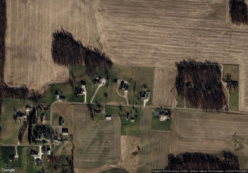
Map
Nearby Homes
- 0 Crooked St
- 0 Crooked Street Land Split 2
- 14021 Old Mansfield Rd
- 15745 Lower Fredericktown Amity Rd
- 14914 N Liberty Rd
- 14133 Beckley Rd
- 0 N Liberty Rd
- 13219 Old Mansfield Rd
- 14499 Wooster Rd
- 13999 Wooster Rd
- 14835 Indian Hills Rd
- 0 Indian Hills Rd
- 13919 Upper Fredericktown Rd
- 14702 Wooster Rd
- 13683 Upper Fredericktown Rd
- 33 Longitude Dr
- 12567 Upper Fredericktown Rd
- 1737 Vernonview Dr
- 200 Mansfield Rd
- 107 Northridge Dr
- 15143 Hyatt Rd
- 14999 Hyatt Rd
- 15100 Hyatt Rd
- 15020 Hyatt Rd
- 14977 Hyatt Rd
- 15204 Hyatt Rd
- 14917 Hyatt Rd
- 15261 Hyatt Rd
- 14902 Hyatt Rd
- 15323 Hyatt Rd
- 14901 Hyatt Rd
- 14895 Hyatt Rd
- 15375 Hyatt Rd
- 14880 Hyatt Rd
- 14823 Hyatt Rd
- 14822 Hyatt Rd
- 14731 Hyatt Rd
- 14710 Hyatt Rd
- 14681 Hyatt Rd
- 15324 Old Mansfield Rd