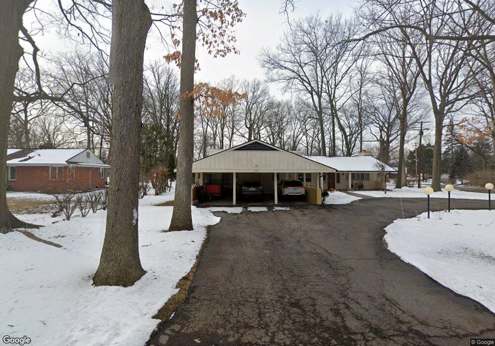
1508 Arrow Ln Flint, MI 48507
Circle Neighborhood NeighborhoodEstimated Value: $173,000 - $254,000
2
Beds
3
Baths
2,700
Sq Ft
$80/Sq Ft
Est. Value
About This Home
This home is located at 1508 Arrow Ln, Flint, MI 48507 and is currently estimated at $214,946, approximately $79 per square foot. 1508 Arrow Ln is a home located in Genesee County with nearby schools including Freeman Elementary School, Flint Southwestern Classical Academy, and International Academy of Flint (K-12).
Ownership History
Date
Name
Owned For
Owner Type
Purchase Details
Closed on
Jul 31, 2009
Sold by
Wagner Thomas A and Patricia M Harris Trust
Bought by
Brewton Robert E and Brewton Sharon A
Current Estimated Value
Purchase Details
Closed on
Apr 17, 2008
Sold by
Harris Patricia M and Harris Robert E
Bought by
Harris Patricia M and Patricia M Harris Trust
Create a Home Valuation Report for This Property
The Home Valuation Report is an in-depth analysis detailing your home's value as well as a comparison with similar homes in the area
Home Values in the Area
Average Home Value in this Area
Purchase History
| Date | Buyer | Sale Price | Title Company |
|---|---|---|---|
| Brewton Robert E | $88,900 | First American Title Ins Co | |
| Harris Patricia M | -- | None Available |
Source: Public Records
Tax History Compared to Growth
Tax History
| Year | Tax Paid | Tax Assessment Tax Assessment Total Assessment is a certain percentage of the fair market value that is determined by local assessors to be the total taxable value of land and additions on the property. | Land | Improvement |
|---|---|---|---|---|
| 2025 | $2,746 | $100,400 | $0 | $0 |
| 2024 | $2,427 | $97,900 | $0 | $0 |
| 2023 | $2,348 | $83,500 | $0 | $0 |
| 2022 | $0 | $68,800 | $0 | $0 |
| 2021 | $2,482 | $66,300 | $0 | $0 |
| 2020 | $2,176 | $61,600 | $0 | $0 |
| 2019 | $2,081 | $52,900 | $0 | $0 |
| 2018 | $2,215 | $49,900 | $0 | $0 |
| 2017 | $2,139 | $0 | $0 | $0 |
| 2016 | $2,122 | $0 | $0 | $0 |
| 2015 | -- | $0 | $0 | $0 |
| 2014 | -- | $0 | $0 | $0 |
| 2012 | -- | $46,400 | $0 | $0 |
Source: Public Records
Map
Nearby Homes
- 2618 Pinetree Dr
- 3115 Circle Dr
- 2910 Shawnee Ave
- 2221 Howard Ave
- 2224 Crocker Ave
- 3505 Comanche Ave
- 2029 Aitken Ave
- 2121 Dwight Ave
- 3614 Comanche Ave
- 1110 Pingree Ave
- 454 E Atherton Rd
- 213 E Lakeview Ave
- 1601 Wayne St
- 2010 Crocker Ave
- 1937 Chelan St
- 1917 Whittlesey St
- 2050 Ferris Ave
- 630 Buckingham Ave
- 133 E Oakley St
- 621 Burroughs Ave
- 1510 Arrow Ln
- 2721 Indian Bow Trail
- 2712 Indian Bow Trail
- 2911 Circle Dr
- 1505 Arrow Ln
- 2702 Hillcrest Ave
- 2821 Circle Dr
- 2722 Hillcrest Ave
- 2620 Indian Bow Trail
- 2621 Indian Bow Trail
- 2802 Hillcrest Ave
- 1521 Arrow Ln
- 2801 Circle Dr
- 2921 Circle Dr
- 2616 Hillcrest Ave
- 2818 Hillcrest Ave
- 2612 Indian Bow Trail
- 2613 Indian Bow Trail
- 2902 Circle Dr
- 2822 Circle Dr
