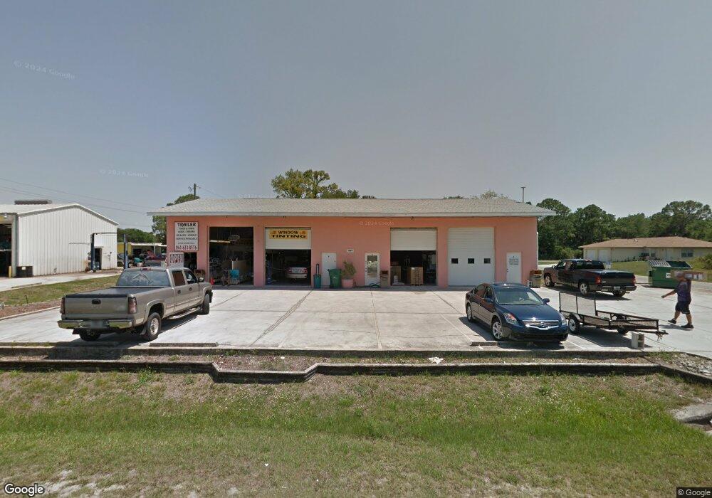
15081 Dania Ave Port Charlotte, FL 33953
Northwest Port Charlotte NeighborhoodEstimated Value: $513,464
--
Bed
3
Baths
3,080
Sq Ft
$167/Sq Ft
Est. Value
About This Home
This home is located at 15081 Dania Ave, Port Charlotte, FL 33953 and is currently estimated at $513,464, approximately $166 per square foot. 15081 Dania Ave is a home located in Charlotte County with nearby schools including Liberty Elementary School, Murdock Middle School, and Port Charlotte High School.
Ownership History
Date
Name
Owned For
Owner Type
Purchase Details
Closed on
Jul 31, 2023
Sold by
Sharkeys Air Inc
Bought by
Luv U Tires Llc
Current Estimated Value
Home Financials for this Owner
Home Financials are based on the most recent Mortgage that was taken out on this home.
Original Mortgage
$300,000
Outstanding Balance
$293,010
Interest Rate
6.69%
Mortgage Type
Seller Take Back
Estimated Equity
$220,454
Purchase Details
Closed on
Jul 6, 2010
Sold by
Holt Joanne C
Bought by
Sharkeys Air Inc
Create a Home Valuation Report for This Property
The Home Valuation Report is an in-depth analysis detailing your home's value as well as a comparison with similar homes in the area
Home Values in the Area
Average Home Value in this Area
Purchase History
| Date | Buyer | Sale Price | Title Company |
|---|---|---|---|
| Luv U Tires Llc | $600,000 | None Listed On Document | |
| Sharkeys Air Inc | $105,000 | Attorney |
Source: Public Records
Mortgage History
| Date | Status | Borrower | Loan Amount |
|---|---|---|---|
| Open | Luv U Tires Llc | $300,000 |
Source: Public Records
Tax History Compared to Growth
Tax History
| Year | Tax Paid | Tax Assessment Tax Assessment Total Assessment is a certain percentage of the fair market value that is determined by local assessors to be the total taxable value of land and additions on the property. | Land | Improvement |
|---|---|---|---|---|
| 2024 | $5,511 | $378,675 | $78,549 | $300,126 |
| 2023 | $5,511 | $190,946 | $0 | $0 |
| 2022 | $4,791 | $209,241 | $43,541 | $165,700 |
| 2021 | $4,502 | $171,342 | $31,350 | $139,992 |
| 2020 | $2,392 | $143,483 | $22,641 | $120,842 |
| 2019 | $3,871 | $130,418 | $19,098 | $111,320 |
| 2018 | $3,554 | $119,112 | $19,098 | $100,014 |
| 2017 | $3,557 | $119,168 | $19,098 | $100,070 |
| 2016 | $3,552 | $118,191 | $0 | $0 |
| 2015 | $1,979 | $116,358 | $0 | $0 |
| 2014 | $1,990 | $116,416 | $0 | $0 |
Source: Public Records
Map
Nearby Homes
- 113 Lomond Dr
- 14465 Dahlgren Ave
- 15163 Dahlgren Ave
- 15084 Mcgraw Ave
- 15172 Mcgraw Ave
- 284 La Playa Ln
- 365 La Playa Ln
- 200 Eppinger Dr
- 203 Tamiami Trail
- 260 Lomond Dr
- 14374 Marlin Ave
- 172 Berthoud St
- 327 Arbor St
- 14350 Marlin Ave
- 298 Biltmore St
- 0 Shady Ave Unit MFRA4666567
- 0 Shady Ave Unit MFRS5130713
- 00 Shady Ave
- 2781 Shady Ave
- 0 Burdette Terrace Unit MFRN6139653
- 90 Lomond Dr
- 59 Tamiami Trail
- 15061 Dania Ave
- 71 Tamiami Trail
- 89 Lomond Dr
- 15070 Dania Ave
- 106 Lomond Dr
- 15051 Dania Ave
- 87 Tamiami Trail
- 105 Lomond Dr
- 74 Cornelius Blvd
- 15041 Dania Ave
- 82 Cornelius Blvd
- 15026 Dania Ave
- 15038 Cresent Ave
- 15025 Dania Ave
- 121 Lomond Dr
- 121 Lomond Dr
- 123 Lomond Dr
- 121 Lomond Dr