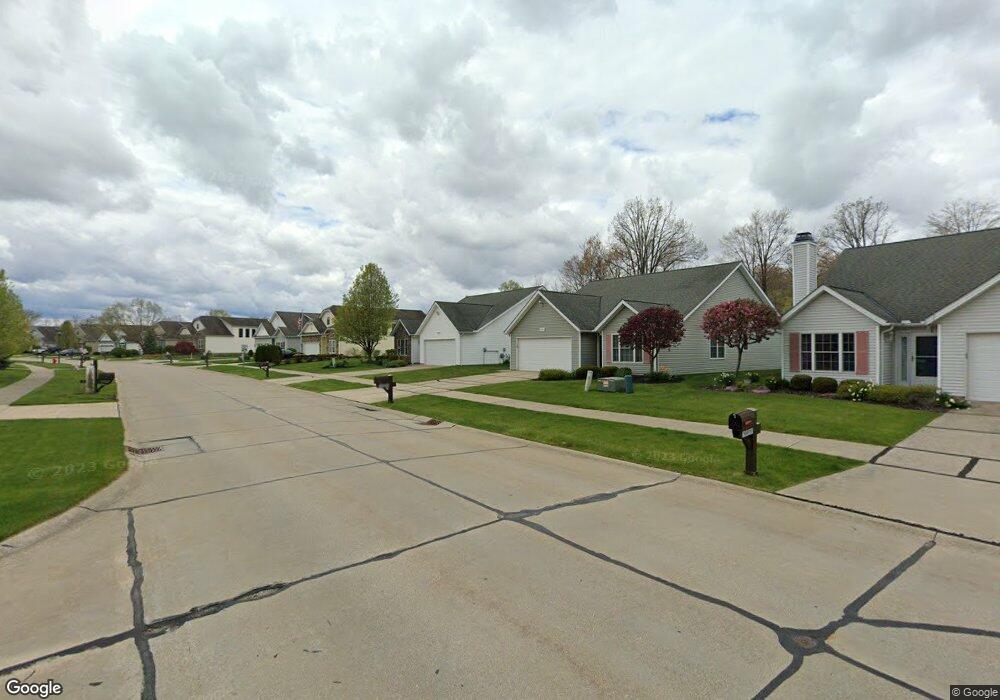
15082 Woodsong Dr Unit 19 Middlefield, OH 44062
Estimated Value: $237,000 - $281,000
3
Beds
2
Baths
1,915
Sq Ft
$138/Sq Ft
Est. Value
About This Home
This home is located at 15082 Woodsong Dr Unit 19, Middlefield, OH 44062 and is currently estimated at $264,236, approximately $137 per square foot. 15082 Woodsong Dr Unit 19 is a home located in Geauga County with nearby schools including Jordak Elementary School, Cardinal Middle School, and Cardinal High School.
Ownership History
Date
Name
Owned For
Owner Type
Purchase Details
Closed on
May 12, 2004
Sold by
High Pointe Of Geauga Development Corp
Bought by
Farrar Linda Marie and The Farrar Family Trust
Current Estimated Value
Home Financials for this Owner
Home Financials are based on the most recent Mortgage that was taken out on this home.
Original Mortgage
$120,000
Outstanding Balance
$60,032
Interest Rate
6.46%
Mortgage Type
Unknown
Estimated Equity
$204,204
Create a Home Valuation Report for This Property
The Home Valuation Report is an in-depth analysis detailing your home's value as well as a comparison with similar homes in the area
Home Values in the Area
Average Home Value in this Area
Purchase History
| Date | Buyer | Sale Price | Title Company |
|---|---|---|---|
| Farrar Linda Marie | $174,900 | -- |
Source: Public Records
Mortgage History
| Date | Status | Borrower | Loan Amount |
|---|---|---|---|
| Open | Farrar Linda Marie | $120,000 |
Source: Public Records
Tax History Compared to Growth
Tax History
| Year | Tax Paid | Tax Assessment Tax Assessment Total Assessment is a certain percentage of the fair market value that is determined by local assessors to be the total taxable value of land and additions on the property. | Land | Improvement |
|---|---|---|---|---|
| 2024 | $2,539 | $75,880 | $8,750 | $67,130 |
| 2023 | $2,539 | $75,880 | $8,750 | $67,130 |
| 2022 | $2,248 | $57,090 | $8,750 | $48,340 |
| 2021 | $2,253 | $57,090 | $8,750 | $48,340 |
| 2020 | $2,326 | $57,090 | $8,750 | $48,340 |
| 2019 | $252 | $57,090 | $8,750 | $48,340 |
| 2018 | $2,516 | $57,090 | $8,750 | $48,340 |
| 2017 | $2,517 | $57,090 | $8,750 | $48,340 |
| 2016 | $2,221 | $57,580 | $14,880 | $42,700 |
| 2015 | $1,983 | $57,580 | $14,880 | $42,700 |
| 2014 | $1,983 | $57,580 | $14,880 | $42,700 |
| 2013 | $1,959 | $57,580 | $14,880 | $42,700 |
Source: Public Records
Map
Nearby Homes
- V/L High Pointe Cir
- 15410 High Pointe Cir
- 15111 Timber Ridge Dr
- 15243 Woodsong Dr
- S/L 189 Oak Hill Dr
- 16008 Button St
- 14607 Erwin Dr
- 14706 Steeplechase Dr
- 16298 Weathervane Dr
- 0 Old State Rd Unit 5157703
- 14685 Hubbard Rd
- 14753 Madison Rd
- 14452 Burton Windsor Rd
- 14752 Evergreen Dr
- 15990 Old State Rd
- 13689 Old State Rd
- 14028 Goodwin St
- 14778 S Cheshire St
- 16310 Madison Rd
- VL Garden St
- 15080 Woodsong Dr Unit 18
- 15106 Woodsong Dr Unit 11
- 15078 Woodsong Dr Unit 17
- 15388 Knox Cir
- 15371 Penny Ln Unit 58
- 15108 Woodsong Dr Unit 10
- 12 (S L ) Knox Cir
- 12 Knox Cir
- 15112 Sawgrass Ln
- 15373 Penny Ln Unit 59
- 149 Woodsong Dr
- 15076 Woodsong Dr Unit 16
- 15375 Penny Ln Unit 60
- 15115 Woodsong Dr
- 15384 Knox Cir
- 13 (S L ) Knox Cir
- 13 Knox Cir
- 15377 Penny Ln
- 15110 Woodsong Dr Unit 9
- 15380 High Pointe Cir Unit 15