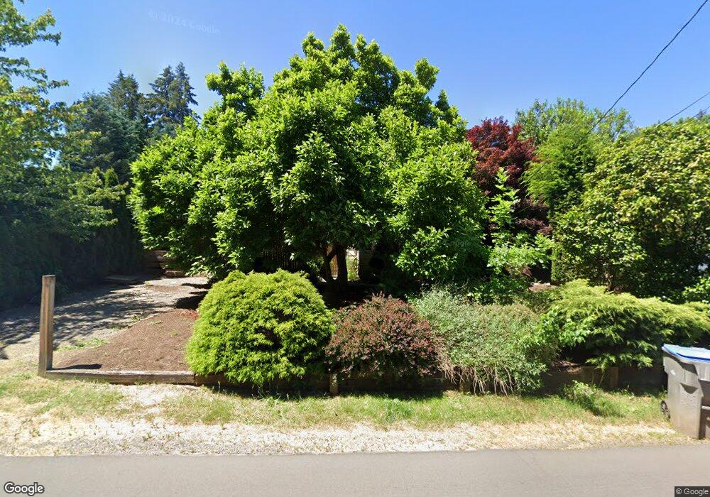
15083 SW 79th Ave Portland, OR 97224
Durham Road NeighborhoodEstimated Value: $742,000 - $807,000
3
Beds
3
Baths
2,780
Sq Ft
$280/Sq Ft
Est. Value
About This Home
This home is located at 15083 SW 79th Ave, Portland, OR 97224 and is currently estimated at $777,715, approximately $279 per square foot. 15083 SW 79th Ave is a home located in Washington County with nearby schools including Durham Elementary School, Twality Middle School, and Tigard High School.
Ownership History
Date
Name
Owned For
Owner Type
Purchase Details
Closed on
Mar 30, 2006
Sold by
Meusch Jon S and Meusch Sharon A
Bought by
Potter Terry and Potter Norma
Current Estimated Value
Home Financials for this Owner
Home Financials are based on the most recent Mortgage that was taken out on this home.
Original Mortgage
$156,275
Outstanding Balance
$94,342
Interest Rate
7.25%
Mortgage Type
Fannie Mae Freddie Mac
Estimated Equity
$683,373
Create a Home Valuation Report for This Property
The Home Valuation Report is an in-depth analysis detailing your home's value as well as a comparison with similar homes in the area
Home Values in the Area
Average Home Value in this Area
Purchase History
| Date | Buyer | Sale Price | Title Company |
|---|---|---|---|
| Potter Terry | $167,250 | Stewart |
Source: Public Records
Mortgage History
| Date | Status | Borrower | Loan Amount |
|---|---|---|---|
| Open | Potter Terry | $156,275 |
Source: Public Records
Tax History Compared to Growth
Tax History
| Year | Tax Paid | Tax Assessment Tax Assessment Total Assessment is a certain percentage of the fair market value that is determined by local assessors to be the total taxable value of land and additions on the property. | Land | Improvement |
|---|---|---|---|---|
| 2025 | $7,442 | $436,500 | -- | -- |
| 2024 | $7,242 | $423,790 | -- | -- |
| 2023 | $7,242 | $411,450 | $0 | $0 |
| 2022 | $7,034 | $411,450 | $0 | $0 |
| 2021 | $6,858 | $387,840 | $0 | $0 |
| 2020 | $6,652 | $376,550 | $0 | $0 |
| 2019 | $6,364 | $365,590 | $0 | $0 |
| 2018 | $6,106 | $354,950 | $0 | $0 |
| 2017 | $5,885 | $344,620 | $0 | $0 |
| 2016 | $5,620 | $334,590 | $0 | $0 |
| 2015 | $5,402 | $324,850 | $0 | $0 |
| 2014 | $5,242 | $315,390 | $0 | $0 |
Source: Public Records
Map
Nearby Homes
- 14994 SW Belvoir Ct
- 14964 SW Belvoir Ct
- 7744 SW Cornutt St
- 7988 SW Leiser Ln
- 14670 SW 78th Ave
- 7913 SW Leiser Ln
- 14611 SW 78th Ave
- 8420 SW Norfolk Ct
- 14544 SW 78th Ave
- 7585 SW Onnaf Ct
- 15080 SW 88th Ave
- 7946 SW Churchill Way
- 8596 SW Schmidt Loop
- 8801 SW Scheckla Dr
- 8580 SW Inez St
- 8755 SW Pinebrook St
- 7945 SW Fanno Creek Dr Unit 3
- 14134 SW Fanno Creek Place
- 15974 SW 76th Ave
- 8539 SW Avon St
- 15065 SW 79th Ave
- 15091 SW 79th Ave
- 15055 SW 79th Ave
- 15045 SW 79th Ave
- 15050 SW 79th Ave
- 8015 Barnum St
- 7895 SW Gentle Woods Dr
- 8026 SW Barnum St
- 8026 Barnum St
- 8031 SW Barnum St
- 15185 SW 79th Ave
- 15022 SW Corbin St
- 7855 SW Gentle Woods Dr
- 14994 SW Belvoir Ct Unit Lot 3
- 14955 SW 79th Ave
- 14984 SW Belvoir Ct Unit Lot 4
- 7890 SW Gentle Woods Dr
- 15157 SW 80th Ave
- 7815 SW Gentle Woods Dr
- 15080 SW 79th Ave