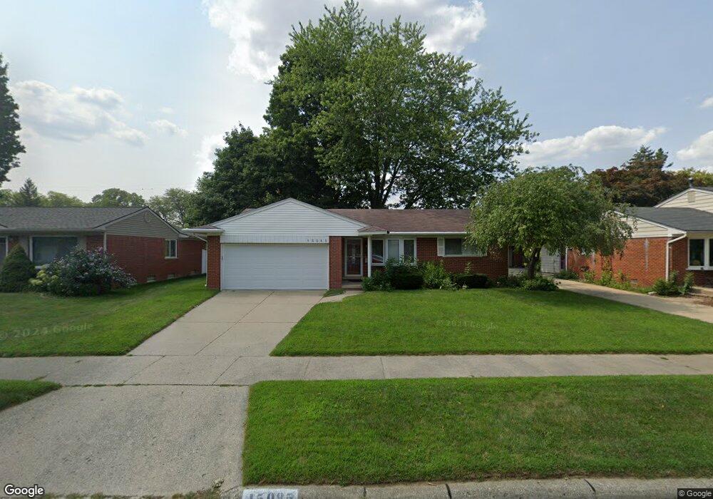
15085 Nola St Unit Bldg-Unit Livonia, MI 48154
Estimated Value: $277,000 - $312,000
--
Bed
2
Baths
1,046
Sq Ft
$281/Sq Ft
Est. Value
About This Home
This home is located at 15085 Nola St Unit Bldg-Unit, Livonia, MI 48154 and is currently estimated at $294,265, approximately $281 per square foot. 15085 Nola St Unit Bldg-Unit is a home located in Wayne County with nearby schools including Randolph Elementary School, Johnson Upper Elementary School, and Frost Middle School.
Ownership History
Date
Name
Owned For
Owner Type
Purchase Details
Closed on
Jun 20, 2018
Sold by
The Audrey H Harkins Living Trust
Bought by
Peterson Luveinia
Current Estimated Value
Home Financials for this Owner
Home Financials are based on the most recent Mortgage that was taken out on this home.
Original Mortgage
$166,920
Outstanding Balance
$145,160
Interest Rate
4.75%
Mortgage Type
FHA
Estimated Equity
$149,105
Purchase Details
Closed on
May 15, 2014
Sold by
Harkins Audrey H
Bought by
Harkins Audrey H and Audrey H Harkins Living Trust
Create a Home Valuation Report for This Property
The Home Valuation Report is an in-depth analysis detailing your home's value as well as a comparison with similar homes in the area
Home Values in the Area
Average Home Value in this Area
Purchase History
| Date | Buyer | Sale Price | Title Company |
|---|---|---|---|
| Peterson Luveinia | $170,000 | Vintage Title Agency | |
| Harkins Audrey H | -- | None Available | |
| Harkins Audrey H | -- | None Available |
Source: Public Records
Mortgage History
| Date | Status | Borrower | Loan Amount |
|---|---|---|---|
| Open | Peterson Luveinia | $166,920 |
Source: Public Records
Tax History Compared to Growth
Tax History
| Year | Tax Paid | Tax Assessment Tax Assessment Total Assessment is a certain percentage of the fair market value that is determined by local assessors to be the total taxable value of land and additions on the property. | Land | Improvement |
|---|---|---|---|---|
| 2025 | $2,206 | $124,300 | $0 | $0 |
| 2024 | $2,206 | $116,800 | $0 | $0 |
| 2023 | $2,105 | $109,700 | $0 | $0 |
| 2022 | $3,792 | $104,600 | $0 | $0 |
| 2021 | $3,589 | $94,200 | $0 | $0 |
| 2019 | $3,444 | $84,800 | $0 | $0 |
| 2018 | $1,419 | $80,000 | $0 | $0 |
| 2017 | $2,511 | $75,100 | $0 | $0 |
| 2016 | $2,640 | $75,100 | $0 | $0 |
| 2015 | $6,140 | $69,310 | $0 | $0 |
| 2012 | -- | $58,570 | $17,390 | $41,180 |
Source: Public Records
Map
Nearby Homes
- 15111 Houghton St
- 38540 5 Mile (Service Drive) Rd
- 38063 Donald St
- 14677 Newburgh Rd
- 14557 Richfield St
- 14411 Nola St
- 39175 Parkhurst St
- 14367 Houghton St
- 39050 Lyndon St
- 15659 Hunter Grove
- 37502 Ladywood St
- 14285 Adams St
- 14469 Bassett St
- 15307 Williams St
- 38502 Summers St
- 39237 Grennada St
- 15916 Swathmore Ln
- 37642 Scone Ct
- 37633 Scone Ct
- 37656 Schoolcraft Rd
- 15085 Nola St
- 15109 Nola St Unit Bldg-Unit
- 15109 Nola St
- 15120 Houghton St
- 15121 Nola St
- 15061 Nola St
- 15108 Houghton St
- 15132 Houghton St
- 15078 Houghton St
- 15144 Houghton St
- 15084 Nola St
- 15133 Nola St
- 15049 Nola St
- 15108 Nola St
- 15072 Nola St
- 15066 Houghton St
- 15060 Nola St
- 15120 Nola St
- 15156 Houghton St
- 14369 Dooley Dr