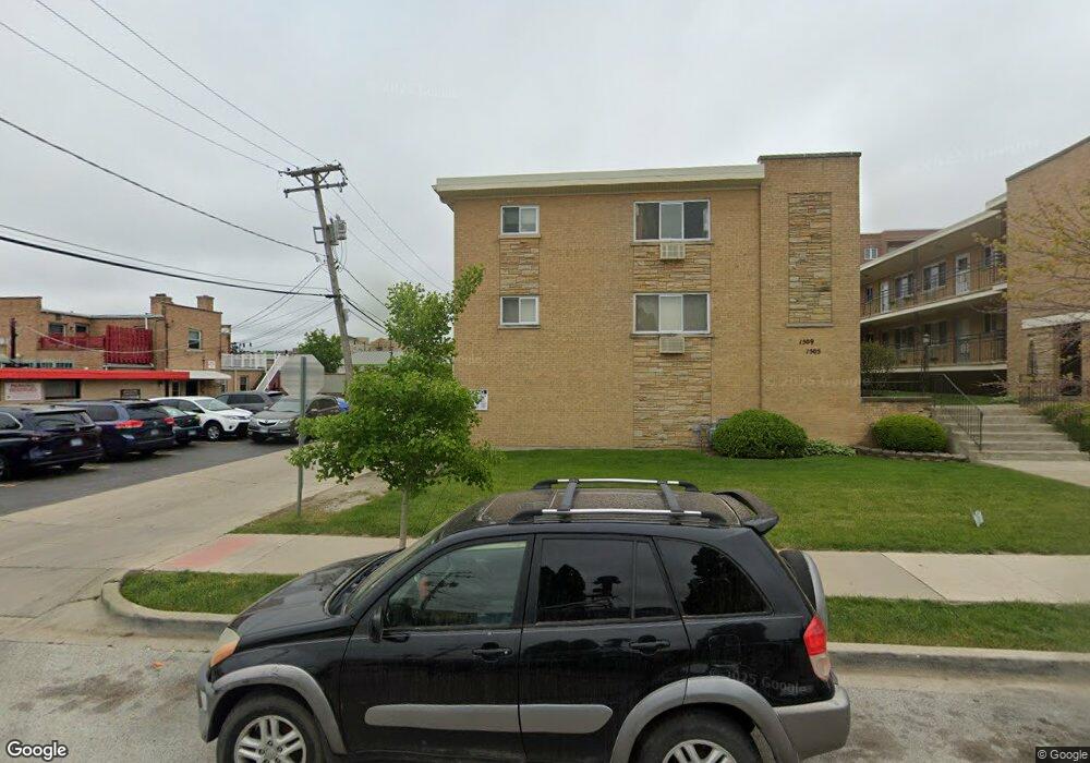
1509 Brown St Unit 8 Des Plaines, IL 60016
Estimated Value: $127,000 - $198,000
1
Bed
--
Bath
23,394
Sq Ft
$7/Sq Ft
Est. Value
About This Home
This home is located at 1509 Brown St Unit 8, Des Plaines, IL 60016 and is currently estimated at $158,537, approximately $6 per square foot. 1509 Brown St Unit 8 is a home located in Cook County with nearby schools including North Elementary School, Chippewa Middle School, and Maine West High School.
Ownership History
Date
Name
Owned For
Owner Type
Purchase Details
Closed on
Aug 2, 1999
Sold by
American National Bk & Tr Co Of Chicago
Bought by
Pirounakis Nickolas E
Current Estimated Value
Home Financials for this Owner
Home Financials are based on the most recent Mortgage that was taken out on this home.
Original Mortgage
$50,400
Interest Rate
7.83%
Create a Home Valuation Report for This Property
The Home Valuation Report is an in-depth analysis detailing your home's value as well as a comparison with similar homes in the area
Home Values in the Area
Average Home Value in this Area
Purchase History
| Date | Buyer | Sale Price | Title Company |
|---|---|---|---|
| Pirounakis Nickolas E | $56,000 | -- |
Source: Public Records
Mortgage History
| Date | Status | Borrower | Loan Amount |
|---|---|---|---|
| Previous Owner | Pirounakis Nickolas E | $50,400 |
Source: Public Records
Tax History
| Year | Tax Paid | Tax Assessment Tax Assessment Total Assessment is a certain percentage of the fair market value that is determined by local assessors to be the total taxable value of land and additions on the property. | Land | Improvement |
|---|---|---|---|---|
| 2025 | -- | $10,199 | $746 | $9,453 |
| 2024 | -- | $9,951 | $663 | $9,288 |
| 2023 | -- | $9,951 | $663 | $9,288 |
| 2022 | $0 | $9,951 | $663 | $9,288 |
| 2021 | $0 | $7,730 | $538 | $7,192 |
| 2020 | $0 | $7,730 | $538 | $7,192 |
| 2019 | $0 | $8,615 | $538 | $8,077 |
| 2018 | $0 | $4,153 | $476 | $3,677 |
| 2017 | $0 | $4,153 | $476 | $3,677 |
| 2016 | $0 | $4,153 | $476 | $3,677 |
| 2015 | $0 | $3,721 | $414 | $3,307 |
| 2014 | -- | $3,721 | $414 | $3,307 |
| 2013 | -- | $3,721 | $414 | $3,307 |
Source: Public Records
Map
Nearby Homes
- 1509 Brown St Unit 11
- 555 Graceland Ave Unit 503
- 430 Oak St
- 1389 Perry St Unit 203
- 555 S River Rd Unit 607
- 1378 Perry St Unit 412
- 656 Pearson St Unit 203C
- 365 Graceland Ave Unit 205A
- 1349 E Washington St Unit 404A
- 659 S Des Plaines River Rd Unit 2A
- 1327 Brown St Unit 404
- 1325 Perry St Unit 606
- 1308 Perry St Unit B
- 770 Pearson St Unit 808
- 1569 Sherman Place
- 647 Parsons Ave
- 775 Lee St
- 1333 Willow Ave
- 830 Center St
- 835 Pearson St Unit 308
- 1509 Brown St Unit 19
- 1509 Brown St Unit 17
- 1509 Brown St Unit 12
- 1509 Brown St Unit 10
- 1509 Brown St Unit 9
- 1509 Brown St Unit 5
- 1509 Brown St Unit 4
- 1505 Brown St Unit 3
- 1497 Brown St Unit 16
- 1497 Brown St Unit 14
- 1509 Brown St Unit 7
- 1497 Brown St Unit 15
- 1505 Brown St Unit 2
- 1509 Brown St Unit 18
- 1505 Brown St Unit 1
- 1509 Brown St Unit 13
- 1505 Brown St Unit 6
- 1501 Brown St Unit 20
- 498 Lee St Unit 2S
- 1481 Brown St
Your Personal Tour Guide
Ask me questions while you tour the home.