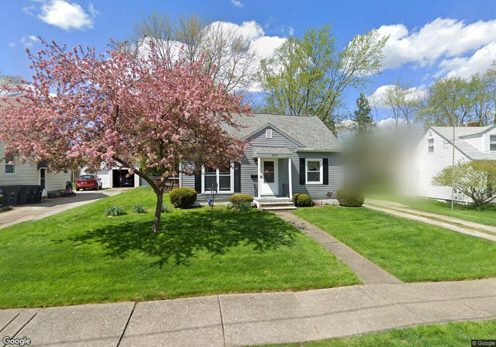
1509 Dale St Akron, OH 44313
Wallhaven NeighborhoodEstimated Value: $174,000 - $210,000
2
Beds
1
Bath
1,088
Sq Ft
$177/Sq Ft
Est. Value
About This Home
This home is located at 1509 Dale St, Akron, OH 44313 and is currently estimated at $192,083, approximately $176 per square foot. 1509 Dale St is a home located in Summit County with nearby schools including Case Community Learning Center, Summit Academy School, and Our Lady Of The Elms Elementary School.
Ownership History
Date
Name
Owned For
Owner Type
Purchase Details
Closed on
Sep 18, 1997
Sold by
Utrup David A
Bought by
Udivich Michael J
Current Estimated Value
Home Financials for this Owner
Home Financials are based on the most recent Mortgage that was taken out on this home.
Original Mortgage
$48,000
Interest Rate
7.55%
Mortgage Type
New Conventional
Create a Home Valuation Report for This Property
The Home Valuation Report is an in-depth analysis detailing your home's value as well as a comparison with similar homes in the area
Home Values in the Area
Average Home Value in this Area
Purchase History
| Date | Buyer | Sale Price | Title Company |
|---|---|---|---|
| Udivich Michael J | $95,000 | -- |
Source: Public Records
Mortgage History
| Date | Status | Borrower | Loan Amount |
|---|---|---|---|
| Closed | Udivich Michael J | $48,000 |
Source: Public Records
Tax History Compared to Growth
Tax History
| Year | Tax Paid | Tax Assessment Tax Assessment Total Assessment is a certain percentage of the fair market value that is determined by local assessors to be the total taxable value of land and additions on the property. | Land | Improvement |
|---|---|---|---|---|
| 2025 | $2,400 | $54,387 | $12,828 | $41,559 |
| 2024 | $2,400 | $54,387 | $12,828 | $41,559 |
| 2023 | $2,400 | $54,387 | $12,828 | $41,559 |
| 2022 | $2,033 | $38,669 | $8,971 | $29,698 |
| 2021 | $2,035 | $38,669 | $8,971 | $29,698 |
| 2020 | $2,005 | $38,670 | $8,970 | $29,700 |
| 2019 | $1,875 | $34,080 | $8,520 | $25,560 |
| 2018 | $1,850 | $34,080 | $8,520 | $25,560 |
| 2017 | $1,879 | $34,080 | $8,520 | $25,560 |
| 2016 | $1,880 | $34,080 | $8,520 | $25,560 |
| 2015 | $1,879 | $34,080 | $8,520 | $25,560 |
| 2014 | $1,864 | $34,080 | $8,520 | $25,560 |
| 2013 | $1,841 | $34,290 | $8,520 | $25,770 |
Source: Public Records
Map
Nearby Homes
- 242 N Hawkins Ave
- 1623 Liberty Dr Unit 1625
- 1633-1635 Liberty Dr
- 101 N Hawkins Ave
- 100 N Hawkins Ave
- 297 Harcourt Dr
- 1688 Tanglewood Dr Unit 1690
- 1725 Liberty Dr Unit 1727
- 254 Castle Blvd
- 284 Kenilworth Dr
- 2040 Thurmont Rd
- 423 Foursome Ave
- 237 Hollywood Ave
- 432 Auburndale Ave
- 1485 W Market St
- 1607 W Exchange St
- 344 Village Pointe Dr Unit 5/E
- 344 Village Pointe Dr Unit D
- 0 Alden Ave
- 590 N Hawkins Ave