1509 Deborah Ct Unit 2 Jamison, PA 18929
Estimated Value: $412,000 - $440,000
2
Beds
3
Baths
1,548
Sq Ft
$273/Sq Ft
Est. Value
About This Home
This home is located at 1509 Deborah Ct Unit 2, Jamison, PA 18929 and is currently estimated at $423,371, approximately $273 per square foot. 1509 Deborah Ct Unit 2 is a home located in Bucks County with nearby schools including Warwick Elementary School, Holicong Middle School, and Central Bucks High School - East.
Ownership History
Date
Name
Owned For
Owner Type
Purchase Details
Closed on
May 19, 2016
Sold by
Mowen Linda
Bought by
Reichwein James and Reichwein Susan
Current Estimated Value
Purchase Details
Closed on
Dec 28, 2001
Sold by
Damore Mark and Damore Kristina
Bought by
Mowen Linda
Home Financials for this Owner
Home Financials are based on the most recent Mortgage that was taken out on this home.
Original Mortgage
$54,000
Interest Rate
6.72%
Purchase Details
Closed on
Apr 3, 1996
Sold by
Fpa Corp
Bought by
Damore Mark and Klonis Kristina
Home Financials for this Owner
Home Financials are based on the most recent Mortgage that was taken out on this home.
Original Mortgage
$132,600
Interest Rate
7.39%
Mortgage Type
FHA
Create a Home Valuation Report for This Property
The Home Valuation Report is an in-depth analysis detailing your home's value as well as a comparison with similar homes in the area
Home Values in the Area
Average Home Value in this Area
Purchase History
| Date | Buyer | Sale Price | Title Company |
|---|---|---|---|
| Reichwein James | $201,000 | None Available | |
| Mowen Linda | $184,000 | -- | |
| Damore Mark | $137,535 | -- |
Source: Public Records
Mortgage History
| Date | Status | Borrower | Loan Amount |
|---|---|---|---|
| Previous Owner | Mowen Linda | $54,000 | |
| Previous Owner | Damore Mark | $132,600 |
Source: Public Records
Tax History
| Year | Tax Paid | Tax Assessment Tax Assessment Total Assessment is a certain percentage of the fair market value that is determined by local assessors to be the total taxable value of land and additions on the property. | Land | Improvement |
|---|---|---|---|---|
| 2025 | $4,748 | $27,280 | -- | $27,280 |
| 2024 | $4,748 | $27,280 | $0 | $27,280 |
| 2023 | $4,546 | $27,280 | -- | $27,280 |
| 2022 | $4,546 | $27,280 | $0 | $27,280 |
| 2021 | $4,496 | $27,280 | $0 | $27,280 |
| 2020 | $4,496 | $27,280 | $0 | $27,280 |
| 2019 | $4,468 | $27,280 | $0 | $27,280 |
| 2018 | $4,468 | $27,280 | $0 | $27,280 |
| 2017 | $4,434 | $27,280 | $0 | $27,280 |
| 2016 | $4,434 | $27,280 | $0 | $27,280 |
| 2015 | -- | $27,280 | $0 | $27,280 |
| 2014 | -- | $27,280 | $0 | $27,280 |
Source: Public Records
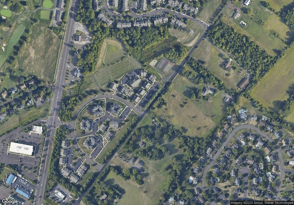
Map
Nearby Homes
- 1501 Margaret Ct Unit 1
- 108 Eagle Ct Unit 105
- 1837 Adams Way
- 2210 Club House Cir
- 2166 Wayne Dr
- 1268 Dogwood Dr
- 2249 Lilac Ln
- 1004 Marquis Ln
- 1003 Marquis Ln Unit NORTHBROOK MODEL
- 1001 Marquis Ln Unit WESTMONT MODEL
- Homesite 10102 Marquis Ln
- 5005 Quartermaster Ln
- 5011 Quartermaster Ln
- 2417 April Dr
- 1515 Sugar Bottom Rd
- 4008 Marquis Ln
- 2947 Bridge St
- 1997 Sunrise Way
- 1990 York Rd
- 1997 Brook Ln
- 1510 Deborah Ct Unit 3
- 1511 Deborah Ct Unit 4
- 1511 Deborah Ct Unit 1904
- 1509 Deborah Ct Unit 1902
- 1508 Deborah Ct Unit 1901
- 1508 Deborah Ct Unit 1
- 1513 Deborah Ct Unit 1802
- 1512 Deborah Ct Unit 1801
- 1512 Deborah Ct Unit 1
- 1517 Carol Ct Unit 6
- 1506 Deborah Ct Unit 3
- 1507 Deborah Ct Unit 4
- 1507 Deborah Ct Unit 2004
- 1514 Deborah Ct Unit 3
- 1515 Deborah Ct Unit 1804
- 1515 Deborah Ct Unit 4
- 1523 Carol Ct Unit 4
- 1518 Carol Ct Unit 7
- 1518 Carol Ct Unit 1607
- 1520 Carol Ct Unit 1
Your Personal Tour Guide
Ask me questions while you tour the home.