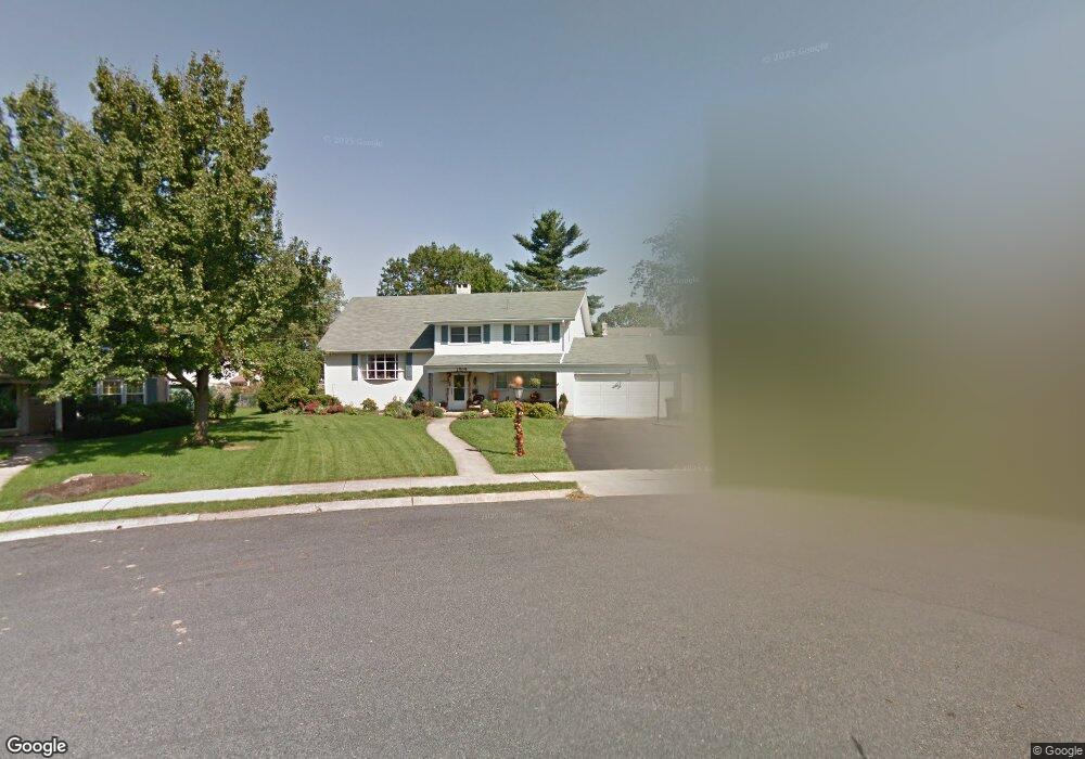
1509 Durwood Ct Reading, PA 19609
Whitfield NeighborhoodEstimated Value: $382,000 - $436,000
4
Beds
3
Baths
2,372
Sq Ft
$167/Sq Ft
Est. Value
About This Home
This home is located at 1509 Durwood Ct, Reading, PA 19609 and is currently estimated at $396,554, approximately $167 per square foot. 1509 Durwood Ct is a home located in Berks County with nearby schools including Whitfield Elementary School, Wilson West Middle School, and Wilson High School.
Ownership History
Date
Name
Owned For
Owner Type
Purchase Details
Closed on
Nov 3, 2020
Sold by
Meggie Re Investments Llc
Bought by
Smith Tristan A and Blanehette Mallory K
Current Estimated Value
Home Financials for this Owner
Home Financials are based on the most recent Mortgage that was taken out on this home.
Original Mortgage
$228,000
Outstanding Balance
$202,888
Interest Rate
2.8%
Mortgage Type
New Conventional
Estimated Equity
$193,666
Purchase Details
Closed on
Jul 12, 2007
Sold by
Fraser Hugh W and Fraser Elizabeth W
Bought by
Foose Frederick F
Home Financials for this Owner
Home Financials are based on the most recent Mortgage that was taken out on this home.
Original Mortgage
$227,250
Interest Rate
6.54%
Mortgage Type
New Conventional
Create a Home Valuation Report for This Property
The Home Valuation Report is an in-depth analysis detailing your home's value as well as a comparison with similar homes in the area
Home Values in the Area
Average Home Value in this Area
Purchase History
| Date | Buyer | Sale Price | Title Company |
|---|---|---|---|
| Smith Tristan A | $240,000 | First United Land Transfer I | |
| Foose Frederick F | $252,500 | None Available |
Source: Public Records
Mortgage History
| Date | Status | Borrower | Loan Amount |
|---|---|---|---|
| Open | Smith Tristan A | $228,000 | |
| Previous Owner | Foose Frederick F | $227,250 |
Source: Public Records
Tax History Compared to Growth
Tax History
| Year | Tax Paid | Tax Assessment Tax Assessment Total Assessment is a certain percentage of the fair market value that is determined by local assessors to be the total taxable value of land and additions on the property. | Land | Improvement |
|---|---|---|---|---|
| 2025 | $2,670 | $136,300 | $38,300 | $98,000 |
| 2024 | $5,832 | $136,300 | $38,300 | $98,000 |
| 2023 | $5,557 | $136,300 | $38,300 | $98,000 |
| 2022 | $5,420 | $136,300 | $38,300 | $98,000 |
| 2021 | $5,229 | $136,300 | $38,300 | $98,000 |
| 2020 | $5,229 | $136,300 | $38,300 | $98,000 |
| 2019 | $5,081 | $136,300 | $38,300 | $98,000 |
| 2018 | $5,037 | $136,300 | $38,300 | $98,000 |
| 2017 | $4,952 | $136,300 | $38,300 | $98,000 |
| 2016 | $1,706 | $136,300 | $38,300 | $98,000 |
| 2015 | $1,672 | $136,300 | $38,300 | $98,000 |
| 2014 | $1,672 | $136,300 | $38,300 | $98,000 |
Source: Public Records
Map
Nearby Homes
- 2943 Reedy Rd
- 164 Oberlin Ave
- 3029 Grandview Blvd
- 163 Thomas Place
- 3413 Penn Ave
- 3411 Penn Ave
- 204 Springmont Dr
- 2035 Franklin Place
- 3964 W Penn Ave
- 118 Laurel Ct Unit 118B
- 150 Laurel Ct Unit 150A
- 120 Laurel Ct Unit 120A
- 802 Apple Dr
- 125 Grandview Blvd
- 191 Hawthorne Ct Unit 191A
- 2912 State Hill Rd Unit B-2
- 121 Grandview Blvd
- 2900 State Hill Rd Unit I12
- 179 Hawthorne Ct Unit 179A
- 2408 Noble St
- 1511 Durwood Ct
- 1507 Durwood Ct
- 1414 Independence Dr
- 1412 Independence Dr
- 1504 Dogwood Dr
- 1505 Durwood Ct
- 1502 Dogwood Dr
- 1506 Dogwood Dr
- 1513 Durwood Ct
- 1503 Durwood Dr
- 1416 Independence Dr
- 1410 Independence Dr
- 1501 Durwood Dr
- 1508 Dogwood Dr
- 1517 Durwood Dr
- 1411 Durwood Dr
- 1409 Independence Dr
- 2602 Dalin Dr
- 1408 Independence Dr
- 2604 Dalin Dr