1509 Ed Harrell Rd Hortense, GA 31543
Estimated Value: $76,857 - $162,000
Studio
--
Bath
1,200
Sq Ft
$97/Sq Ft
Est. Value
About This Home
This home is located at 1509 Ed Harrell Rd, Hortense, GA 31543 and is currently estimated at $116,464, approximately $97 per square foot. 1509 Ed Harrell Rd is a home located in Wayne County with nearby schools including Screven Elementary School, Arthur Williams Middle School, and Wayne County High School.
Ownership History
Date
Name
Owned For
Owner Type
Purchase Details
Closed on
Jun 13, 2017
Sold by
Horton Vicki
Bought by
Shelton Posey
Current Estimated Value
Purchase Details
Closed on
Feb 21, 2017
Sold by
Edna
Bought by
Posey Shelton
Purchase Details
Closed on
Feb 17, 2017
Sold by
Shepard Edna
Bought by
Horton Vicki
Purchase Details
Closed on
May 1, 1998
Sold by
Shepard Ralph
Bought by
Shepard Ralph
Purchase Details
Closed on
Apr 1, 1987
Bought by
Shepard Ralph
Purchase Details
Closed on
Jun 1, 1978
Create a Home Valuation Report for This Property
The Home Valuation Report is an in-depth analysis detailing your home's value as well as a comparison with similar homes in the area
Purchase History
| Date | Buyer | Sale Price | Title Company |
|---|---|---|---|
| Shelton Posey | -- | -- | |
| Posey Shelton | -- | -- | |
| Horton Vicki | $49,000 | -- | |
| Shepard Ralph | -- | -- | |
| Shepard Ralph | $12,500 | -- | |
| -- | -- | -- |
Source: Public Records
Tax History
| Year | Tax Paid | Tax Assessment Tax Assessment Total Assessment is a certain percentage of the fair market value that is determined by local assessors to be the total taxable value of land and additions on the property. | Land | Improvement |
|---|---|---|---|---|
| 2025 | $430 | $16,203 | $14,404 | $1,799 |
| 2024 | $430 | $16,244 | $14,404 | $1,840 |
| 2023 | $477 | $16,244 | $14,404 | $1,840 |
| 2022 | $511 | $16,244 | $14,404 | $1,840 |
| 2021 | $548 | $16,244 | $14,404 | $1,840 |
| 2020 | $672 | $19,261 | $17,421 | $1,840 |
| 2019 | $692 | $19,261 | $17,421 | $1,840 |
| 2018 | $692 | $19,261 | $17,421 | $1,840 |
| 2017 | $589 | $19,034 | $17,962 | $1,072 |
| 2016 | $857 | $28,639 | $17,962 | $10,677 |
| 2014 | $859 | $28,639 | $17,962 | $10,677 |
| 2013 | -- | $28,638 | $17,962 | $10,676 |
Source: Public Records
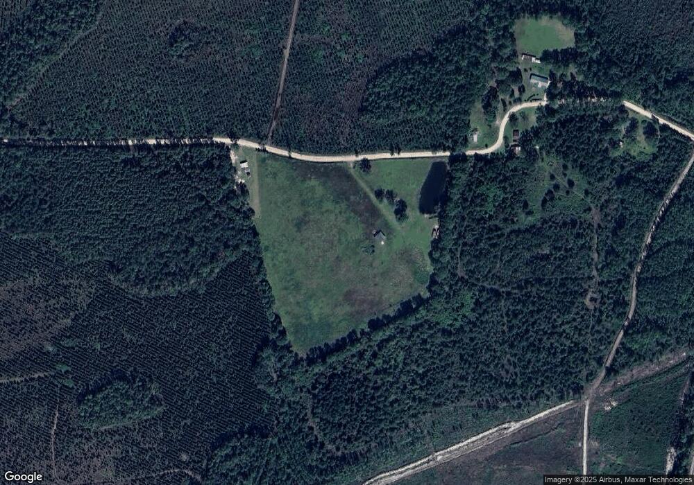
Map
Nearby Homes
- 599 Ed Harrell Rd
- 6911 Old Hortense Rd
- 603 Cumberland Rd
- 0 Humpback Rd
- 255 Spell Landing Rd
- 88 Minnesota Rd
- 14375 U S 301
- 0 Woodrow Ln
- TRACT 1 Loggan Ln
- TRACT 2 Loggan Ln
- 0 Rogers Break Unit 1656131
- 301 Broadhurst Rd
- Tract 1 Unit Trudie Rd
- 391 S Forks Rd
- 18583 Raybon Rd E
- 254 Coffee County Club Rd
- 771 Heritage Cir
- 868 Broadhurst Rd W
- 200 Gobblers Run
- 6959 Oak Crossing Rd
- 872A Rr 1
- 2155 Ed Harrell Rd
- 1429 Ed Harrell Rd
- 1641 Ed Harrell Rd
- 1364 Ed Harrell Rd
- 1269 Ed Harrell Rd
- 1492 Ed Harrell Rd
- 2175 Ed Harrell Rd
- 728 Ed Harrell Rd
- 119 Culpepper Dr
- 400 Culpepper Dr
- 00 Ed Harrell Rd
- 301 S Ed Harrell Rd
- 578 Ed Harrell Rd
- 527 Ed Harrell Rd
- 470 Ed Harrell Rd
- 406 Ed Harrell Rd
Your Personal Tour Guide
Ask me questions while you tour the home.