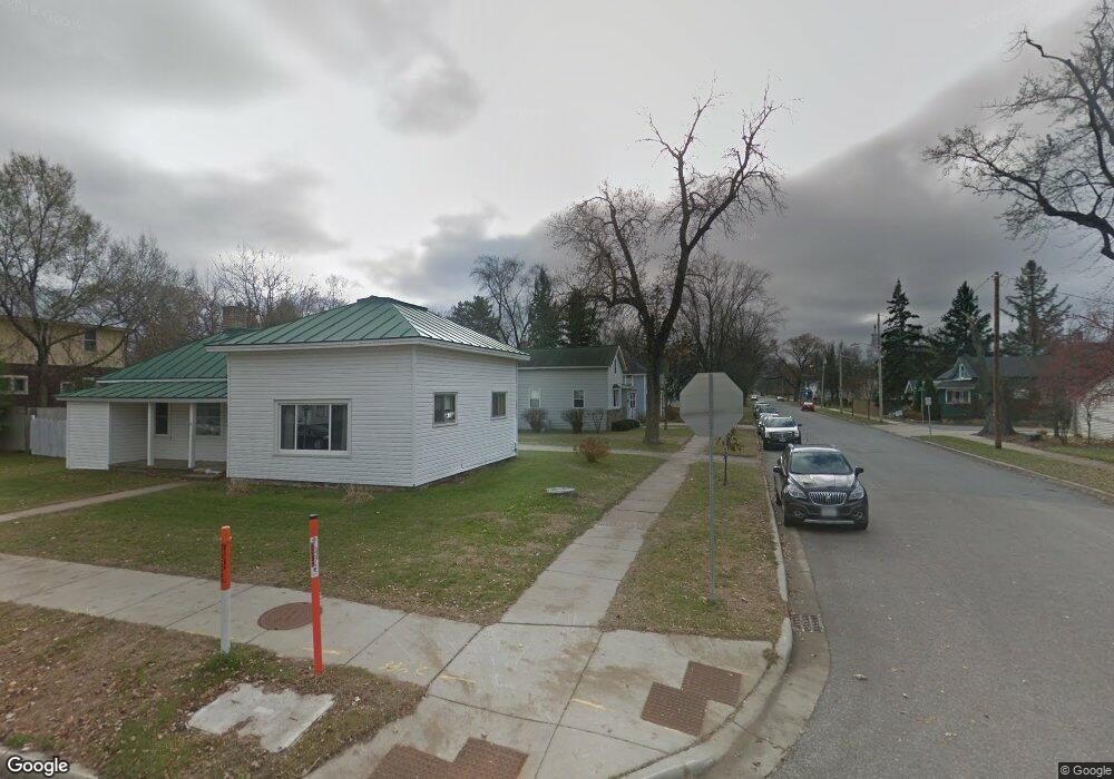
1509 Fremont St Stevens Point, WI 54481
Estimated Value: $156,000 - $221,000
3
Beds
2
Baths
--
Sq Ft
9,278
Sq Ft Lot
About This Home
This home is located at 1509 Fremont St, Stevens Point, WI 54481 and is currently estimated at $199,648. 1509 Fremont St is a home located in Portage County with nearby schools including Jefferson Elementary School, P.J. Jacobs Junior High School, and Stevens Point Area Senior High School.
Ownership History
Date
Name
Owned For
Owner Type
Purchase Details
Closed on
Mar 31, 2025
Sold by
Kobishop Agnes M and Kaczmarek Nancy J
Bought by
Wotruba Randall P and Lawrence Sarah M
Current Estimated Value
Home Financials for this Owner
Home Financials are based on the most recent Mortgage that was taken out on this home.
Original Mortgage
$139,500
Outstanding Balance
$138,907
Interest Rate
6.87%
Mortgage Type
New Conventional
Estimated Equity
$60,741
Purchase Details
Closed on
Apr 11, 2014
Sold by
Kaczmarek Nancy J. Nancy J. and Kaczmarek Nancy J
Bought by
Kobishop Ronald J and Kobishop Agnes M
Create a Home Valuation Report for This Property
The Home Valuation Report is an in-depth analysis detailing your home's value as well as a comparison with similar homes in the area
Home Values in the Area
Average Home Value in this Area
Purchase History
| Date | Buyer | Sale Price | Title Company |
|---|---|---|---|
| Wotruba Randall P | $155,000 | Gowey Abstract & Title | |
| Kobishop Ronald J | $68,300 | -- |
Source: Public Records
Mortgage History
| Date | Status | Borrower | Loan Amount |
|---|---|---|---|
| Open | Wotruba Randall P | $139,500 |
Source: Public Records
Tax History Compared to Growth
Tax History
| Year | Tax Paid | Tax Assessment Tax Assessment Total Assessment is a certain percentage of the fair market value that is determined by local assessors to be the total taxable value of land and additions on the property. | Land | Improvement |
|---|---|---|---|---|
| 2024 | $30 | $167,000 | $25,600 | $141,400 |
| 2023 | $0 | $167,000 | $25,600 | $141,400 |
| 2022 | $2,455 | $104,300 | $17,900 | $86,400 |
| 2021 | $2,368 | $104,300 | $17,900 | $86,400 |
| 2020 | $2,409 | $104,300 | $17,900 | $86,400 |
| 2019 | $2,363 | $104,300 | $17,900 | $86,400 |
| 2018 | $2,222 | $104,300 | $17,900 | $86,400 |
| 2017 | $2,178 | $104,300 | $17,900 | $86,400 |
| 2016 | $1,981 | $85,800 | $12,200 | $73,600 |
| 2015 | $2,007 | $85,800 | $12,200 | $73,600 |
| 2014 | $1,952 | $85,800 | $12,200 | $73,600 |
Source: Public Records
Map
Nearby Homes
- 1601 Fremont St
- 1513 Division St
- 1824 Gilkay St
- 2709 Jefferson St
- 1317 Wisconsin St
- 1532 College Ave Unit 1101/1101A Rogers St
- 1216 Lindbergh Ave
- 1316 Ellis St Unit 1417 Church Street
- 2115 Vermont Ave
- 1025 Wisconsin St
- 3013 College Ave
- 1309 Portage St
- 509 Clayton Ave
- 2526 Minnesota Ave
- 800 Indiana Ave
- 1016 Portage St
- 1016 3rd St
- 1026 4th Ave
- 709 Franklin St
- 601 Wilshire Blvd