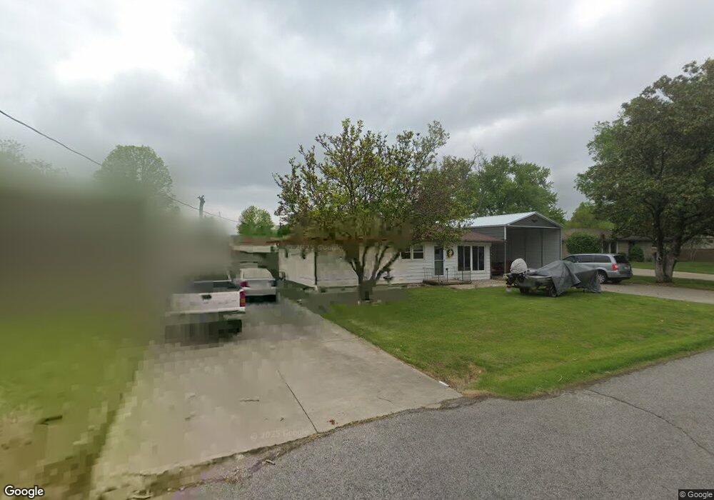
1509 Laib Dr New Albany, IN 47150
Estimated Value: $191,000 - $228,000
3
Beds
2
Baths
1,092
Sq Ft
$191/Sq Ft
Est. Value
About This Home
This home is located at 1509 Laib Dr, New Albany, IN 47150 and is currently estimated at $208,326, approximately $190 per square foot. 1509 Laib Dr is a home located in Floyd County with nearby schools including Slate Run Elementary School, Hazelwood Middle School, and New Albany Senior High School.
Ownership History
Date
Name
Owned For
Owner Type
Purchase Details
Closed on
Aug 2, 2023
Sold by
Edgar And Frances King Living Trust
Bought by
John And Rebecca King Irrevocable Trust and Langdon
Current Estimated Value
Purchase Details
Closed on
May 7, 2020
Sold by
King Edgar R and King Frances A
Bought by
King Trust
Purchase Details
Closed on
Sep 5, 2008
Sold by
King Betty J
Bought by
King Edgar R and King Frances A
Create a Home Valuation Report for This Property
The Home Valuation Report is an in-depth analysis detailing your home's value as well as a comparison with similar homes in the area
Home Values in the Area
Average Home Value in this Area
Purchase History
| Date | Buyer | Sale Price | Title Company |
|---|---|---|---|
| John And Rebecca King Irrevocable Trust | -- | None Listed On Document | |
| King Trust | -- | None Available | |
| King Edgar R | -- | None Available |
Source: Public Records
Tax History Compared to Growth
Tax History
| Year | Tax Paid | Tax Assessment Tax Assessment Total Assessment is a certain percentage of the fair market value that is determined by local assessors to be the total taxable value of land and additions on the property. | Land | Improvement |
|---|---|---|---|---|
| 2024 | $289 | $105,400 | $20,400 | $85,000 |
| 2023 | -- | $107,300 | $20,400 | $86,900 |
| 2022 | $0 | $108,200 | $20,400 | $87,800 |
| 2021 | $0 | $101,500 | $20,400 | $81,100 |
| 2020 | $249 | $102,500 | $21,400 | $81,100 |
| 2019 | $456 | $115,500 | $21,400 | $94,100 |
| 2018 | $331 | $108,000 | $21,400 | $86,600 |
| 2017 | $342 | $101,300 | $21,400 | $79,900 |
| 2016 | $219 | $101,600 | $21,400 | $80,200 |
| 2014 | $256 | $97,900 | $21,400 | $76,500 |
| 2013 | -- | $95,400 | $21,400 | $74,000 |
Source: Public Records
Map
Nearby Homes
- 1672 Garretson Ln
- 1409 Slate Run Rd Unit 5
- 1520 Maple Ct
- 1421 Bellemeade Dr
- 1352 Miller Ln
- 1655 Harriett Ct
- 1435 Bellemeade Dr
- 1589 Old Ford Rd
- 2705 Charlestown Rd
- 1651 Summit Ave
- 1640 Oriole Dr
- 1236 Slate Run Rd
- 1578 Clifton Ave
- 1689 Old Ford Rd
- 2550 Broadway St
- 2548 Broadway St
- 8 Robin Ct
- 2127 Willard Ave
- 37 Nassau Dr
- 2218 Fairmont Ave
- 1507 Laib Dr
- 1511 Laib Dr
- 1505 Laib Dr
- 2640 Hoover Ave
- 1661 Kenwood Ave
- 2642 Hoover Ave
- 2646 Hoover Ave
- 1453 Slate Run Rd
- 1506 Laib Dr
- 1457 Slate Run Rd
- 1503 Laib Dr
- 1663 Kenwood Ave
- 1447 Slate Run Rd
- 2648 Hoover Ave
- 1459 Slate Run Rd
- 1504 Laib Dr
- 1665 Kenwood Ave
- 1666 Roselawn Ave
- 1502 Laib Dr
- 1443 Slate Run Rd